Landmark: Ain Vittel Waterfall
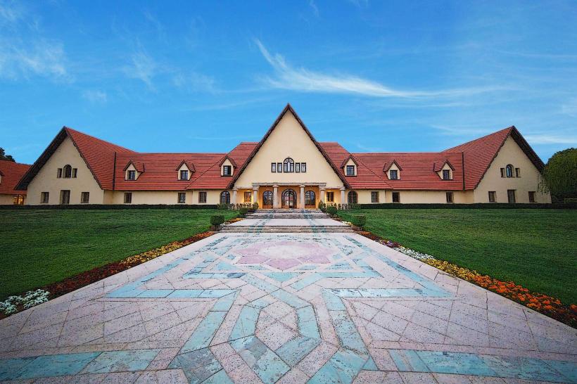
City: Ifrane
Country: Morocco
Continent: Africa
Ain Vittel Waterfall, Ifrane, Morocco, Africa
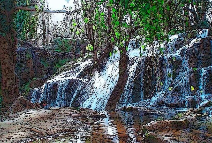
Ain Vittel Waterfall is a natural cascade located near the city of Ifrane in the Middle Atlas Mountains of Morocco.
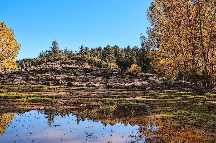
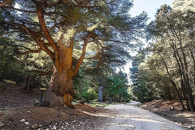
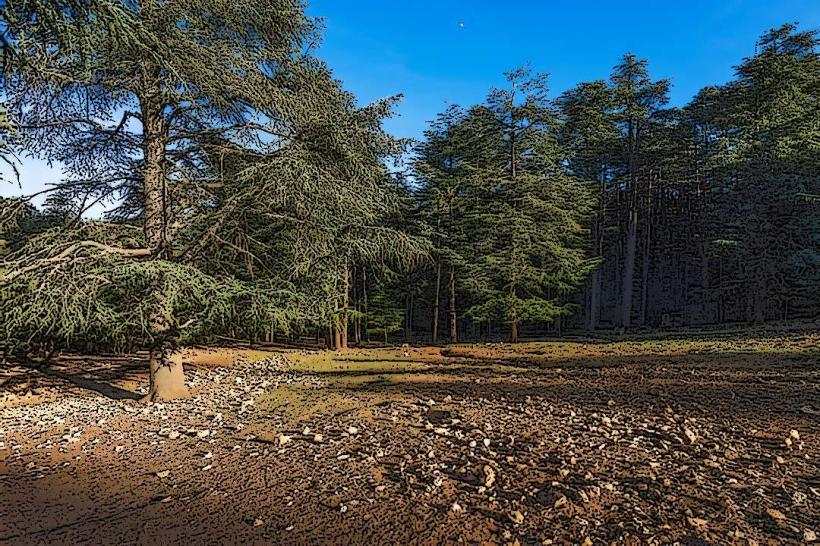
This waterfall is characterized by its tiered rock formations over which water flows, creating multiple small cascades. The surrounding vegetation consists of mixed forest, primarily oak and cedar trees.
Location & Access Logistics
The waterfall is situated approximately 5 kilometers south of Ifrane. Access is via the P24 national road. Turn off onto a smaller, unpaved track approximately 2 kilometers south of Ifrane, marked by local signage. The track is approximately 3 kilometers long and can be rough; a 4x4 vehicle is recommended, though a standard vehicle may pass in dry conditions. Parking is available at the end of the track, adjacent to the waterfall site. No public transport directly serves the waterfall.
Historical & Ecological Origin
Ain Vittel is a natural geological formation, part of the karst topography of the Middle Atlas. The water originates from underground springs and emerges at this point, carving its path through the limestone rock over millennia. The area is part of the cedar forest ecosystem characteristic of the region.
Key Highlights & Activities
Observation of the waterfall's multiple tiers. Short walks along the stream bed above and below the main cascade. Photography of the water flow and surrounding flora. Picnicking is permitted in designated areas near the parking zone.
Infrastructure & Amenities
There are no permanent structures or amenities at the waterfall site. Basic waste bins are sometimes present. Cell phone signal is intermittent to non-existent. No food vendors operate at the site; visitors should bring their own provisions.
Best Time to Visit
The waterfall has the highest water flow during the spring months (March to May) following winter snowmelt. Summer months (June to August) see reduced flow. Mid-morning (9:00 AM - 11:00 AM) and late afternoon (3:00 PM - 5:00 PM) offer optimal lighting for photography due to the angle of the sun. The surrounding forest provides shade throughout the day.
Facts & Legends
Local folklore suggests the water possesses mild healing properties, though this is unsubstantiated. The name "Ain Vittel" is believed to be a corruption of a local Berber name, not related to the European mineral water brand.
Nearby Landmarks
- Ifrane National Park (1.5km North)
- Michlifen Ski Station (8km South-West)
- Oued Tizguit (3km East)
- Cedar Gouraud Forest (4km North-West)