Landmark: Archipelago Sea
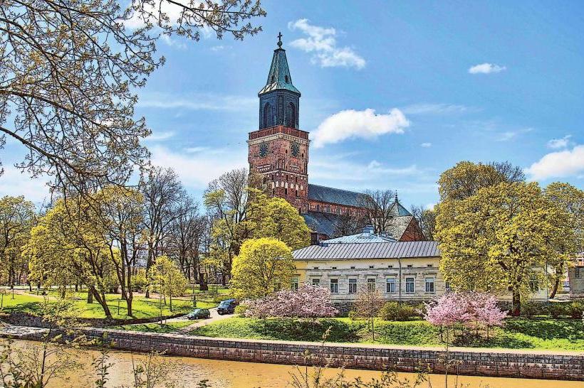
City: Turku
Country: Finland
Continent: Europe
Archipelago Sea, Turku, Finland, Europe
Visual Characteristics
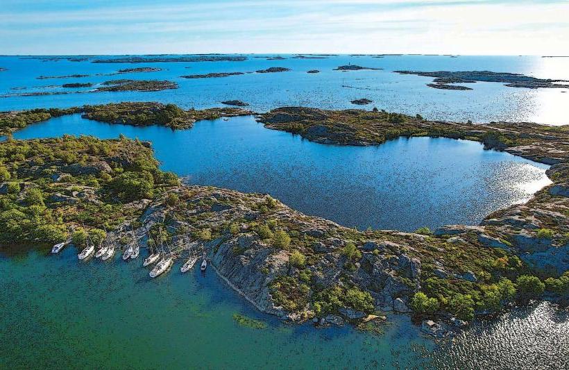
The Archipelago Sea features thousands of granite and gneiss islands, ranging from small, barren skerries to larger, forested islands. Water color varies from clear blue in open areas to darker, tannin-stained hues near peatlands. Shorelines are predominantly rocky, with some sandy coves on larger islands. Vegetation includes pine and spruce forests, birch groves, and low-lying scrub.
Location & Access Logistics
The Archipelago Sea is directly accessible from Turku. The main access point for the Archipelago Trail (Saariston rengastie) begins approximately 10 km southwest of Turku city center via Regional Road 180 (Rymättyläntie). Public transport includes local bus lines from Turku to various ferry terminals, such as those in Nagu (Nauvo) or Pargas (Parainen). Numerous car ferries and smaller passenger ferries connect the islands; schedules are seasonal. Parking is available at ferry terminals and island villages.
Historical & Ecological Origin
The Archipelago Sea is a post-glacial land uplift phenomenon, formed by the retreating continental ice sheet approximately 10,000 years ago. The landscape consists of ancient Precambrian bedrock, primarily granite and gneiss, sculpted by glacial erosion. It is classified as a unique coastal ecosystem, characterized by brackish water and a mosaic of marine, freshwater, and terrestrial habitats.
Key Highlights & Activities
Activities include kayaking and sailing among the islands. Cycling is popular along the Archipelago Trail, which incorporates multiple ferry crossings. Fishing for pike and perch is common. Birdwatching opportunities exist, particularly during migration seasons. Island hopping via public ferries allows exploration of various communities.
Infrastructure & Amenities
Restrooms are available in larger island villages and at ferry terminals. Shade is provided by forests on larger islands. Cell phone signal (4G/5G) is generally reliable across most inhabited islands and main ferry routes. Food vendors, including restaurants and small grocery stores, are present in principal island communities like Nagu, Pargas, and Korpo (Korppoo).
Best Time to Visit
The best months for visiting are June through August for warmest weather and full ferry schedules. Photography is optimal during early morning or late afternoon for soft light over the water and islands. No specific high/low tide requirements significantly impact access or activities, as tidal ranges are minimal in the Baltic Sea.
Facts & Legends
A local tip for visitors is to utilize the smaller, less frequented ferry routes to discover quieter islands. The Archipelago Sea is home to the St. Olaf's Way (Pyhän Olavin reitti), a medieval pilgrimage route that traverses several islands.
Nearby Landmarks
- Forum Marinum Maritime Centre: 2 km West
- Turku Castle: 3 km West
- Hirvensalo Island: 3 km South
- Ruissalo Island: 5 km West