Landmark: Beaver Island Trail
City: St Cloud
Country: USA Minnesota
Continent: North America
Beaver Island Trail, St Cloud, USA Minnesota, North America
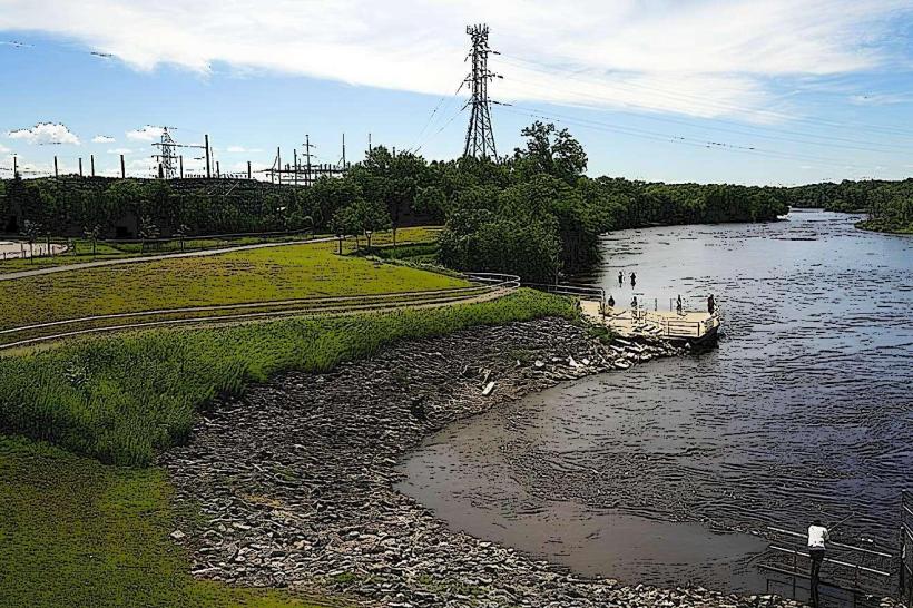
The Beaver Island Trail is a paved recreational path located in St. Cloud, Minnesota. It follows the course of the Mississippi River.
Visual Characteristics
The trail is a 10-foot wide asphalt surface. It is bordered by mature deciduous trees, primarily oak and maple, on the west side and the Mississippi River on the east side. The river's water color varies from brown to grey depending on recent rainfall and sediment load. The terrain is generally flat with a few gentle inclines.
Location & Access Logistics
The Beaver Island Trail is situated within the city limits of St. Cloud, Minnesota. Access points are available from multiple locations. The primary trailhead is located at the intersection of Riverside Drive and 33rd Avenue North, approximately 3 miles north of the St. Cloud city center. Ample free parking is available at the main trailhead lot. Public transportation is accessible via the Metro Bus Route 2, which stops at the intersection of Riverside Drive and 33rd Avenue North.
Historical & Ecological Origin
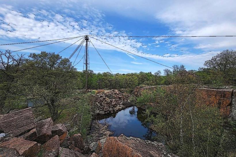
The Beaver Island Trail was constructed in the early 1990s as part of a city initiative to develop recreational green spaces along the Mississippi River. The area is part of the Mississippi River floodplain, characterized by riparian vegetation and a history of seasonal flooding. The trail's construction aimed to provide public access while mitigating erosion and preserving the riverine ecosystem.
Key Highlights & Activities
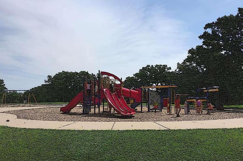
Walking, jogging, and cycling are the primary activities. Birdwatching is possible due to the riparian habitat. Fishing is permitted from designated points along the riverbank. The trail connects to other local park systems, allowing for longer excursions.
Infrastructure & Amenities
Restrooms are available at the main trailhead. Benches are located at intervals along the trail. Shade is provided by the tree canopy for approximately 60% of the trail's length. Cell phone signal (4G/5G) is generally consistent along the entire trail. No food vendors are directly located on the trail; nearest options are approximately 1 mile south in commercial areas.
Best Time to Visit
For photography, early morning or late afternoon provides optimal lighting conditions due to the angle of the sun. The months of May through October offer the most pleasant weather for outdoor activities, with average temperatures ranging from 50°F to 80°F. No specific tide requirements apply.
Facts & Legends
Local lore suggests that during periods of low water, remnants of old logging dams used in the 19th century can be observed in the riverbed near the trail's northern section. These dams were instrumental in transporting timber downstream.
Nearby Landmarks
- Munsinger Clemens Gardens (0.8km South)
- St. Cloud River's Edge Convention Center (2.5km South)
- Pioneer Park (3.2km Southwest)
- St. Cloud State University (3.5km South)