Information
Landmark: Bonita Creek TrailheadCity: Snowflake
Country: USA Arizona
Continent: North America
Bonita Creek Trailhead, Snowflake, USA Arizona, North America
The Bonita Creek Trailhead provides access to a hiking path in Snowflake, Arizona. This location serves as a starting point for exploring the surrounding natural landscape.
Visual Characteristics
The trailhead area is characterized by a gravel parking lot. The path itself is a dirt trail, approximately 1.5 meters wide, with moderate elevation changes. Vegetation consists primarily of desert scrub, including creosote bush and various cacti species. The surrounding terrain is arid, with exposed rock formations and sandy soil.
Location & Access Logistics
The Bonita Creek Trailhead is located 8 kilometers south of downtown Snowflake, Arizona. Access is via County Road 301, a paved road. Turn east onto an unpaved, well-maintained gravel road for approximately 0.5 kilometers to reach the designated parking area. Parking is free and can accommodate approximately 20 vehicles. No public transport services are available to this trailhead.
Historical & Ecological Origin
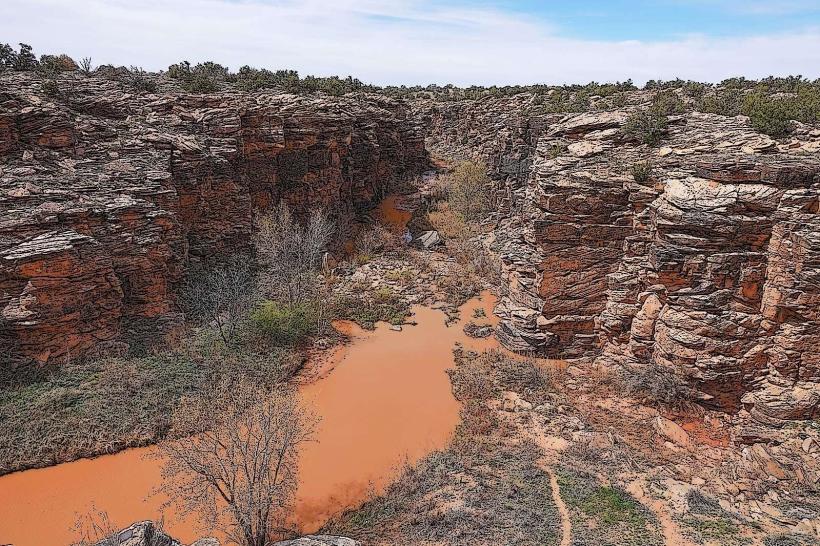
The Bonita Creek area is part of the Colorado Plateau, characterized by sedimentary rock formations dating back millions of years. The trail follows a natural wash, which is a dry creek bed that carries water only during infrequent rainfall events. The ecological classification is arid desert scrubland.
Key Highlights & Activities
Hiking is the primary activity. The main trail extends for 4 kilometers one-way. A secondary, less-maintained loop trail branches off at the 2-kilometer mark, adding approximately 1.5 kilometers. Birdwatching is possible, particularly during dawn and dusk.
Infrastructure & Amenities
A single, uncovered picnic table is present at the trailhead. No restrooms are available. Cell phone signal is intermittent, with 4G service generally unavailable. No food vendors are located at or near the trailhead.
Best Time to Visit
For hiking, the optimal time of day is early morning or late afternoon to avoid peak solar radiation. The best months for visiting are October through April, when daytime temperatures are moderate. Summer months (May-September) can experience extreme heat.
Facts & Legends
Local folklore suggests that the dry creek bed was once a migratory route for a now-extinct species of large desert tortoise. Geologists confirm the presence of fossilized tortoise remains in the wider region.
Nearby Landmarks
- Snowflake Main Street (8km North)
- Little Colorado River Gorge (25km West)
- Petrified Forest National Park (60km Southeast)