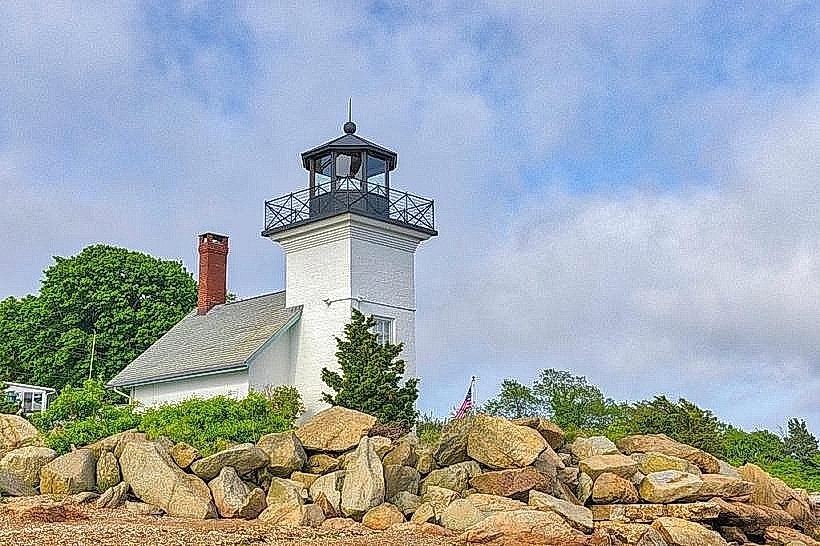
Landmark: Bristol Harbor
City: Bristol RI
Country: USA Rhode Island
Continent: North America
Bristol Harbor, Bristol RI, USA Rhode Island, North America
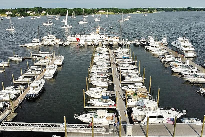
Bristol Harbor is a protected body of water located in Bristol, Rhode Island, USA. It serves as a primary maritime hub for the town.
Visual Characteristics
The harbor features a U-shaped basin with a depth averaging 15 feet. The shoreline is characterized by a mix of granite seawalls and wooden docks. Water color varies from deep blue to green depending on sediment load and light conditions. Numerous sailboats and motorboats are typically moored within the harbor.
Location & Access Logistics
Bristol Harbor is situated on the eastern side of the town of Bristol, Rhode Island, approximately 1.5 miles from the town center. Access is via State Route 114 (Hope Street) which leads directly to the waterfront. Public parking is available in designated lots along Thames Street and Wood Street, with capacity for approximately 150 vehicles. The nearest public transportation is the RIPTA bus route 60, with a stop at the intersection of Thames Street and State Street, a 0.3-mile walk to the harbor.
Historical & Ecological Origin
The harbor's natural formation is a result of glacial scouring and subsequent sea-level rise. Historically, it was developed as a commercial port in the late 18th century, facilitating trade and shipbuilding. The current infrastructure, including breakwaters and docks, was largely established in the early to mid-20th century to support recreational boating and commercial fishing.
Key Highlights & Activities
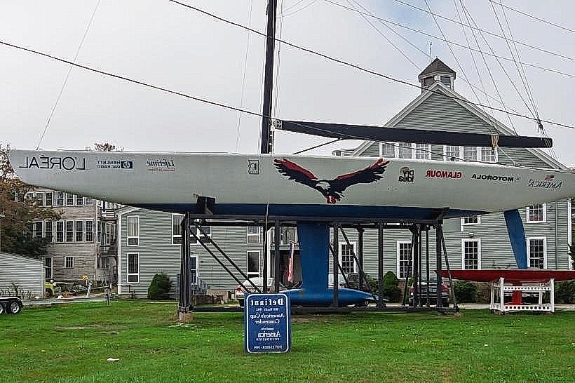
Boating and sailing are primary activities. Kayaking and paddleboarding are possible within the harbor. Fishing from the docks is permitted. Guided boat tours of Narragansett Bay depart from the harbor during the summer months. Dockside restaurants offer dining options.
Infrastructure & Amenities
Restrooms are available at the Harbormaster's office and several public access points. Shade is limited to areas near the waterfront buildings and some trees along the perimeter. Cell phone signal (4G/5G) is generally strong throughout the harbor area. Several restaurants and cafes are located directly on or adjacent to the harbor.
Best Time to Visit
For photography, early morning light (approximately 7:00 AM - 9:00 AM) offers soft illumination on the water and vessels. The best months for visiting are from May to October, when weather conditions are most favorable for outdoor activities. Tidal fluctuations are minimal and do not significantly impact access.
Facts & Legends
During the Prohibition era, Bristol Harbor was reportedly used for rum-running due to its proximity to international waters and numerous coves along Narragansett Bay. Local lore suggests hidden tunnels once connected waterfront buildings to facilitate the clandestine transfer of goods.
Nearby Landmarks
- Colt State Park (1.2km South)
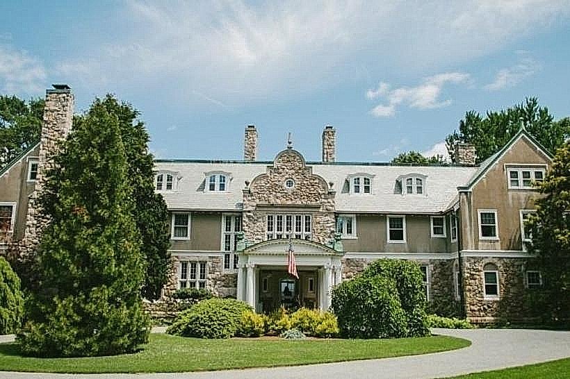
- Bristol Historical and Preservation Society (0.4km West)
- Roger Williams University (2.5km Northwest)
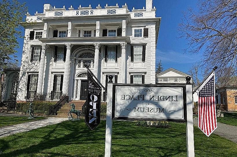
- Blithewold Mansion, Gardens & Arboretum (1.8km South)
- Bristol Town Common (0.6km West)