Information
Landmark: Bukit PanoramaCity: Kuantan
Country: Malaysia
Continent: Asia
Bukit Panorama, Kuantan, Malaysia, Asia
Bukit Panorama is a prominent hill located within the city limits of Kuantan, Pahang, Malaysia. It offers a vantage point for observing the surrounding urban and coastal landscape.
Visual Characteristics
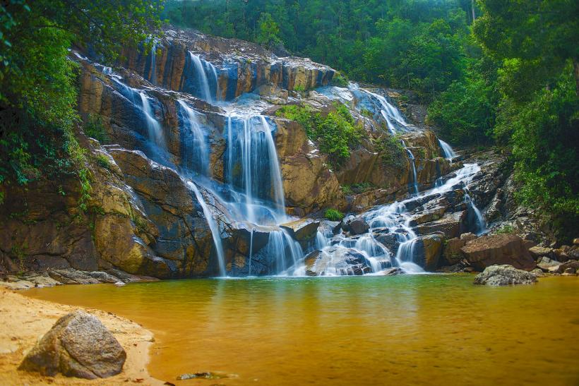
The hill is characterized by its moderate elevation, covered in dense tropical vegetation. The primary rock type is sedimentary, with exposed sections of laterite soil. The summit area provides clear views of Kuantan city to the west and the South China Sea to the east.
Location & Access Logistics
Bukit Panorama is situated approximately 3 kilometers west of Kuantan city center. Access is via Jalan Bukit Ubi, turning onto Jalan Bukit Panorama. Parking is available at the base of the hill, with capacity for approximately 20 vehicles. Public transport options include local bus routes that stop near the Jalan Bukit Ubi junction; from there, it is a 10-minute walk to the trailhead.
Historical & Ecological Origin
Geologically, Bukit Panorama is part of the Kuantan Group, a series of sedimentary rock formations dating back to the late Mesozoic era. Ecologically, it represents a remnant of lowland dipterocarp forest, supporting a variety of local flora and fauna.
Key Highlights & Activities
The primary activity is hiking to the summit via a well-maintained concrete path. The ascent takes approximately 20-30 minutes. Observation decks at the summit provide panoramic views. Birdwatching is possible due to the diverse avian population.
Infrastructure & Amenities
A paved pathway extends to the summit. Basic signage is present at the trailhead. Restrooms are located at the parking area. Cell phone signal (4G) is generally available at the summit. No food vendors are present at the site; nearest amenities are in Kuantan city.
Best Time to Visit
For optimal lighting conditions for photography, visit during the early morning (07:00-09:00) or late afternoon (16:30-18:00). The best months for weather are generally from March to September, avoiding the heavier monsoon rainfall typically experienced from November to February.
Facts & Legends
Local lore suggests that the hill was once a strategic lookout point for fishermen spotting approaching storms. A specific point on the trail, marked by a large boulder, is locally referred to as "Batu Pandang" (Viewing Stone).
Nearby Landmarks
- Sultan Ahmad Shah State Mosque (1.5km East)
- Kuantan City Mall (2.0km West)
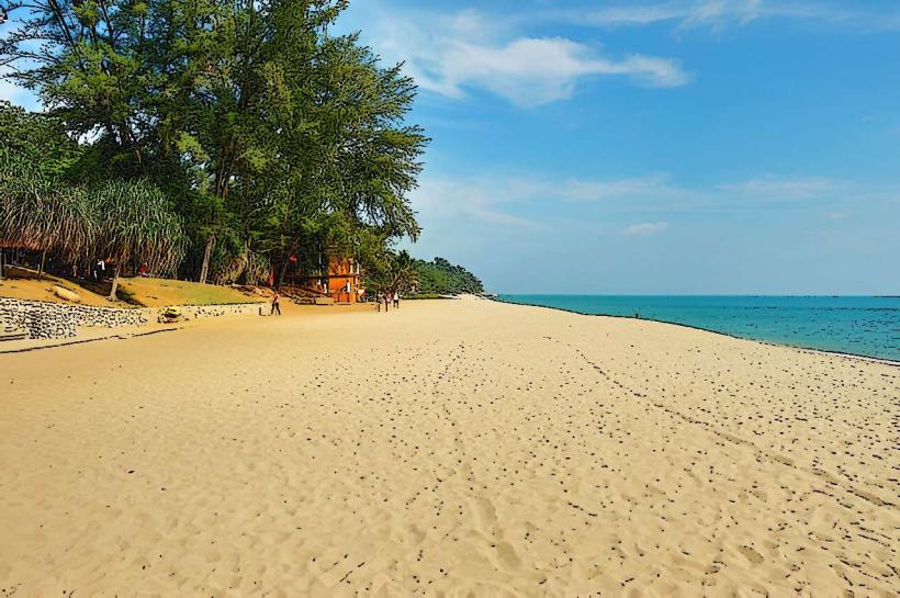
- Teluk Cempedak Beach (3.5km Southeast)
- Taman Esplanade Kuantan (2.5km West)