Landmark: Burren National Park
City: Clare
Country: Ireland
Continent: Europe
Burren National Park, Clare, Ireland, Europe
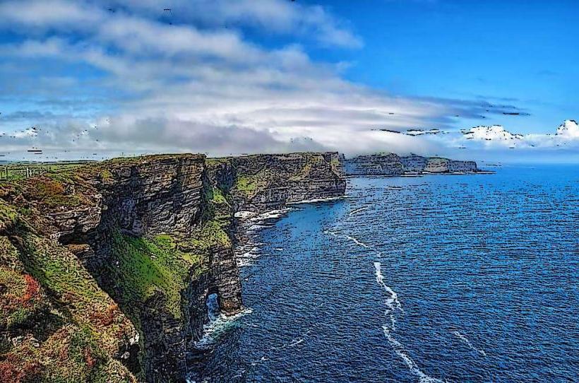
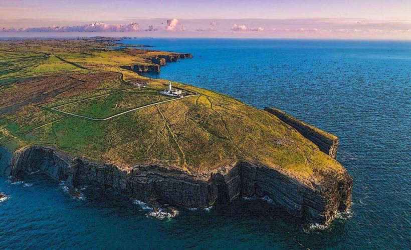
Burren National Park is located in the southeastern corner of The Burren, County Clare. It encompasses approximately 1,500 hectares of glaciated karst landscape, characterized by limestone pavement, calcareous grassland, and hazel scrub.
Visual Characteristics
The park is dominated by the "moon-like" appearance of Carboniferous limestone.
Limestone Pavement: Large flat expanses of rock known as "clints," separated by deep fissures called "grykes."
Mullaghmore: The park’s most recognizable feature, a 191-meter hill with distinctive spiraling limestone strata, formed by ancient geological folding.
Turloughs: Seasonal lakes that disappear in summer as water drains into the underground limestone drainage system.
Location & Access Logistics
Address: Mullaghmore, Corofin, Co. Clare, Ireland.
Position: Approximately 8 km from the village of Corofin and 12 km from Gort.
Transit: No direct public transport to the park interior. A free seasonal shuttle bus typically operates from the Burren National Park Information Point in Corofin during summer months.
Parking: Extremely limited at the trailhead (Gortlecka Crossroads). Visitors are encouraged to park in Corofin and use the shuttle.
Accessibility: Most trails involve traversing uneven, jagged limestone and are unsuitable for mobility devices or strollers.
Biological Diversity
The Burren is unique for its "Arctic-Alpine" flora, where Mediterranean and Arctic plants grow side-by-side.
Flora: Notable species include the Spring Gentian, Mountain Avens, and several varieties of wild orchids.
Fauna: Habitat for the Pine Marten, Fallow Deer, and the rare Burren Green Moth.
Hiking & Trails
The park features seven way-marked trails ranging from easy to very difficult:
Nature Trail (1.5 km): An introductory loop through hazel woodland and pavement.
Mullaghmore Loop (Blue Trail, 7.5 km): A strenuous climb to the summit of Mullaghmore with panoramic views.
Slieve Carran: A separate section of the park containing an oratory and a holy well.
Infrastructure & Amenities
Information Point: Located in Corofin (seasonal), providing maps and educational displays.
Sanitation: No public restrooms within the National Park itself. Facilities are available at the Corofin Information Point.
Connectivity: Very poor to zero cellular signal in the valleys around Mullaghmore due to the surrounding topography.
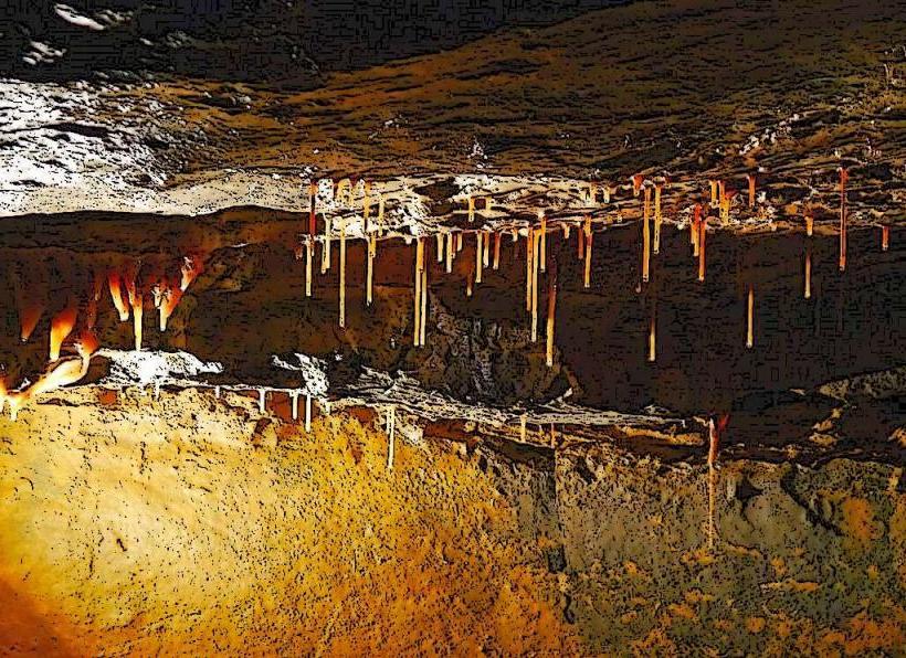
Geological Context
The limestone was formed 350 million years ago when the area lay under a tropical sea. During the last Ice Age (15,000 years ago), moving glaciers scoured the topsoil, exposing the rock. The process of "carbonation"-rainwater reacting with the limestone-continues to widen the grykes today.
Nearby Landmarks
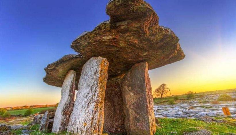
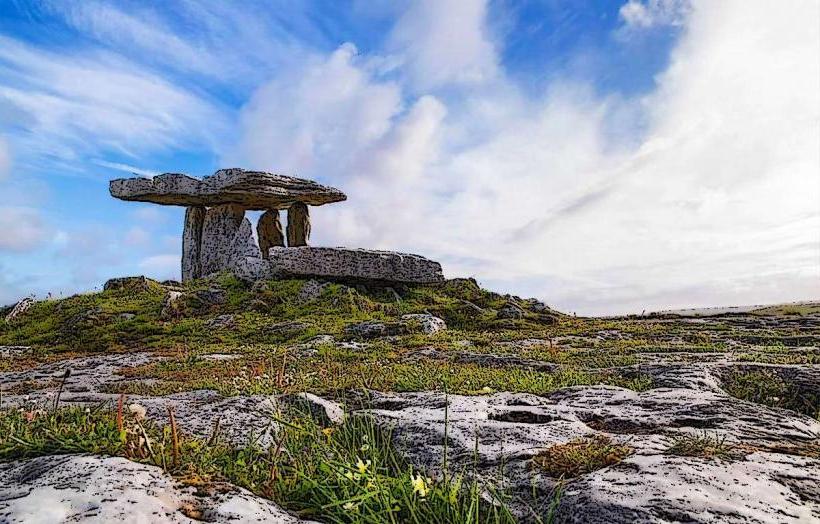
Poulnabrone Dolmen – 12 km Northwest
Caherconnell Stone Fort – 11 km Northwest
Corofin Village – 8 km South
Kilmacduagh Monastery – 10 km Northeast