Landmark: Cerro Caracol
City: Concepcion
Country: Chile
Continent: South America
Cerro Caracol, Concepcion, Chile, South America
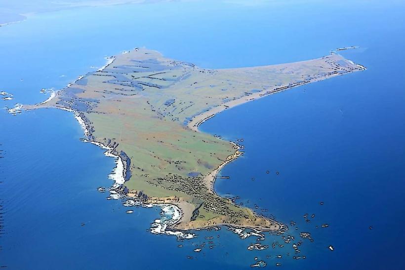
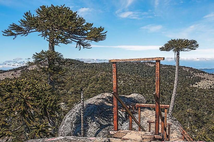
Cerro Caracol is a prominent hill located within the city limits of Concepción, Chile. It serves as a significant natural area and viewpoint for the urban landscape.
Visual Characteristics
The hill is characterized by its moderate elevation and slopes covered in native vegetation, primarily scrub and scattered trees. The dominant colors are greens and browns, varying with the seasons. The summit offers an unobstructed panorama of Concepción and the Biobío River.
Location & Access Logistics
Cerro Caracol is situated approximately 2 kilometers west of Concepción's city center. Access is primarily via Avenida Pedro de Valdivia, which leads to the base of the hill. Several unpaved trails ascend the slopes. Limited on-street parking is available near the main access points. Public transport options include local bus lines that run along Avenida Pedro de Valdivia, with stops within a 500-meter walk to trailheads.
Historical & Ecological Origin
Cerro Caracol is a natural geological formation, part of the pre-Andean foothills. Its ecological classification is Mediterranean scrubland, adapted to the region's climate. Historically, it has been a natural boundary and a source of local resources.
Key Highlights & Activities
Hiking is the primary activity, with several marked and unmarked trails leading to the summit. Observation of urban and riverine landscapes from the summit is a key highlight. Birdwatching is also possible due to the native flora.
Infrastructure & Amenities
Basic infrastructure is minimal. There are no formal restrooms or designated picnic areas on the hill itself. Shade is provided by scattered trees. Cell phone signal (4G/5G) is generally available on the upper slopes and summit. No food vendors are present on the hill; amenities are located in the surrounding urban areas.
Best Time to Visit
The best time of day for photography is late afternoon, approximately 1-2 hours before sunset, for optimal lighting conditions on the city. The months of April to October offer milder temperatures for hiking. No tide considerations are applicable.
Facts & Legends
A local anecdote suggests that the hill's name, "Caracol" (snail), derives from its perceived shape when viewed from certain angles across the Biobío River, resembling a coiled shell.
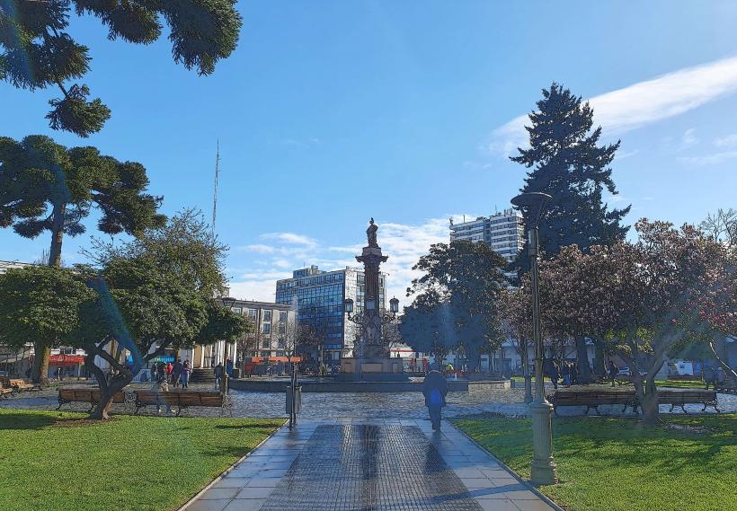
Nearby Landmarks
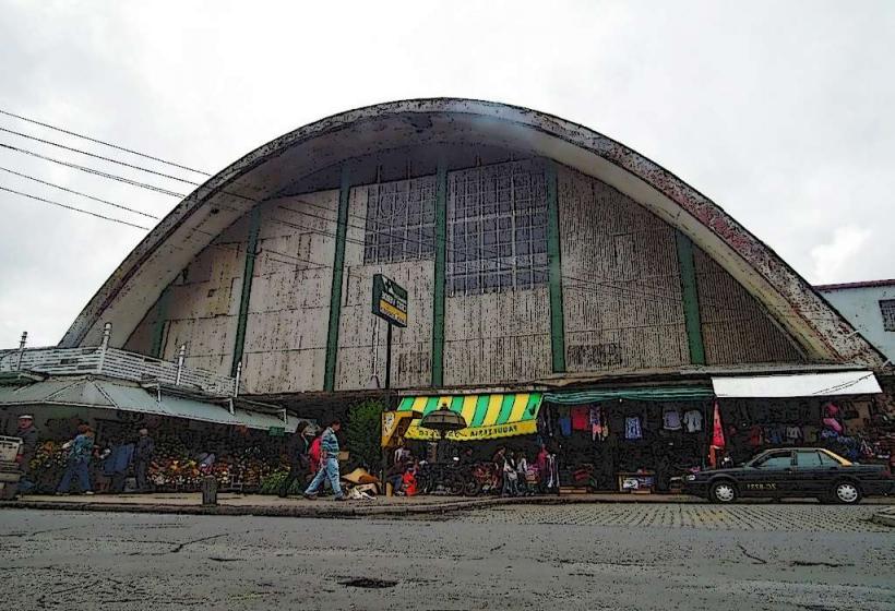
- Parque Ecuador (0.8km East)
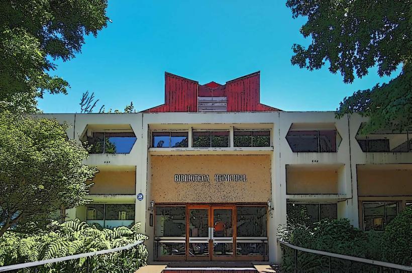
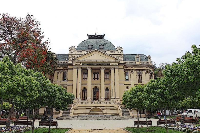
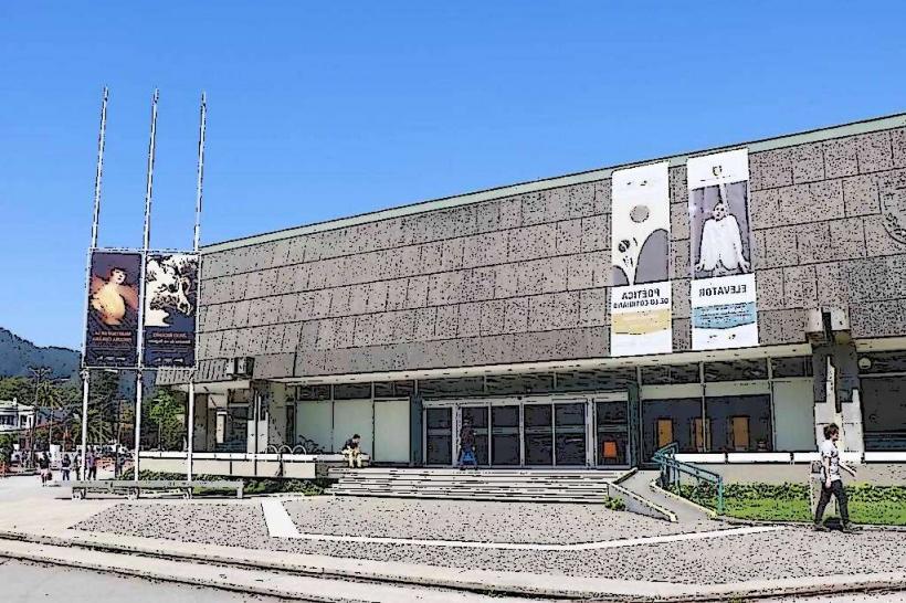
- Universidad de Concepción (1.2km Southeast)
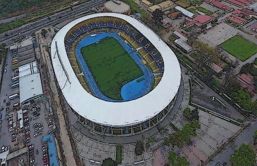
- Estadio Ester Roa Rebolledo (1.5km Southeast)
- Plaza de la Independencia (2.0km East)