Landmark: Cerro El Baúl
City: Quetzaltenango
Country: Guatemala
Continent: North America
Cerro El Baúl, Quetzaltenango, Guatemala, North America
Cerro El Baúl is a prominent hill located within the urban limits of Quetzaltenango, Guatemala.
This geological formation serves as a significant natural landmark and recreational area for the city.
Visual Characteristics
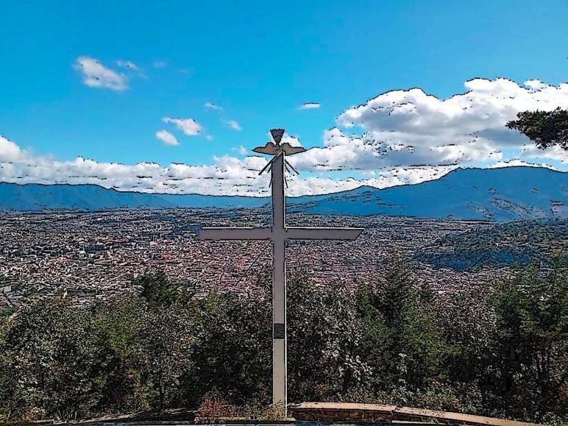
Cerro El Baúl is characterized by its steep, verdant slopes covered in dense pine and oak forest. The summit features a relatively flat plateau. The dominant color is green from the vegetation, with exposed rock faces visible in certain areas. The hill rises approximately 300 meters above the surrounding urban landscape.
Location & Access Logistics
The base of Cerro El Baúl is situated approximately 2 kilometers southwest of Quetzaltenango's central park (Parque Central). Access is primarily via the Carretera a San Mateo (CA-1). A well-maintained dirt road branches off the highway, leading to a parking area at the base of the main ascent. Public transport options are limited; local buses serving the San Mateo route pass near the highway turn-off, requiring a walk of approximately 1 kilometer to the trailhead. Taxis are readily available from Quetzaltenango's city center.
Historical & Ecological Origin
Cerro El Baúl is a volcanic remnant, part of the Guatemalan Highlands volcanic chain. Its formation is attributed to ancient volcanic activity, with erosion shaping its current topography over millennia. Ecologically, it represents a transition zone between the dry intermontane valleys and the humid highlands, supporting a diverse range of flora and fauna.
Key Highlights & Activities
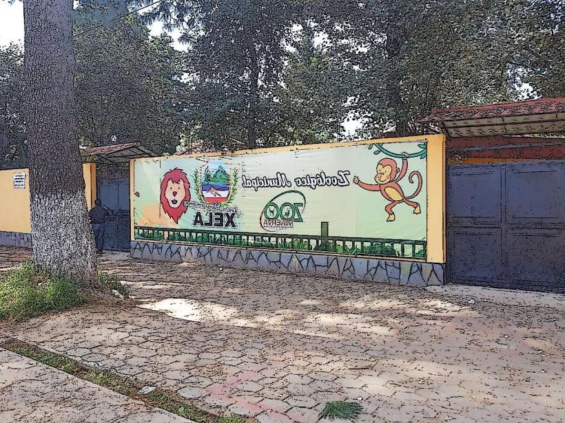
Hiking is the primary activity, with several marked trails leading to the summit. The main trail is approximately 1.5 kilometers long. Visitors can observe local bird species. The summit offers panoramic views of Quetzaltenango and the surrounding valleys. A small chapel is located near the summit.
Infrastructure & Amenities
Restrooms are available at the parking area. Limited shade is provided by the forest canopy along the trails. Cell phone signal (4G) is generally available at the summit and along the upper portions of the trails. No food vendors are present on the hill itself; visitors should bring their own provisions. Basic picnic tables are located near the parking area.
Best Time to Visit
The best time of day for photography is in the morning, between 8:00 AM and 10:00 AM, when the sun illuminates the city from the east. The dry season, from November to April, offers the most favorable weather conditions with minimal rainfall. The best months for clear views are typically January and February.
Facts & Legends
Local legend suggests that the hill was once a sacred site for the Mam people, who performed rituals at its summit. A verified historical oddity is the presence of pre-Hispanic pottery shards found on the slopes, indicating past human habitation or activity.
Nearby Landmarks
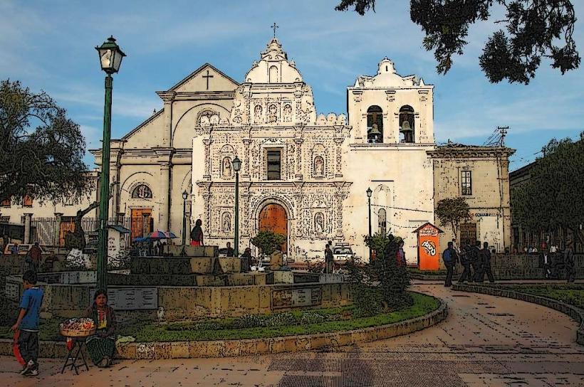
- Parque Central (0.5km Northeast)
- Teatro Municipal (0.7km Northeast)
- Catedral del Espíritu Santo (0.8km Northeast)
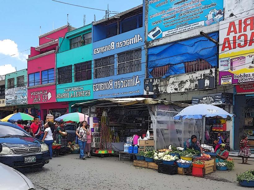
- Mercado La Terminal (1.2km Northeast)
- Museo de Arte y Artesanías de Guatemala (1.0km Northeast)