Landmark: Cerro El Esquipulero
City: Esquipulas
Country: Guatemala
Continent: North America
Cerro El Esquipulero, Esquipulas, Guatemala, North America
Cerro El Esquipulero is a prominent hill located within the municipality of Esquipulas, Guatemala.
This geological formation serves as a significant natural landmark in the region.
Visual Characteristics
Cerro El Esquipulero presents a rounded, vegetated summit. The slopes are covered in dense tropical foliage, primarily consisting of broadleaf trees and various undergrowth. The exposed rock faces, where visible, are composed of sedimentary rock, exhibiting earthy brown and grey tones.
Location & Access Logistics
The hill is situated approximately 3 kilometers west of the central park of Esquipulas. Access is via the Carretera CA-12, turning onto a gravel road marked by a small sign for "Cerro El Esquipulero." This unpaved road extends for approximately 1.5 kilometers to a small, informal parking area at the base of the hill. Public transport to Esquipulas is available via intercity buses; from the town center, local taxis or a moderate walk are required to reach the trailhead.
Historical & Ecological Origin
Cerro El Esquipulero is a natural geological formation, classified as a residual hill. Its origins are tied to the erosion of surrounding sedimentary rock layers over millennia. Ecologically, it is part of the Mesoamerican dry forest ecoregion, supporting a diverse range of flora and fauna adapted to seasonal rainfall patterns.
Key Highlights & Activities
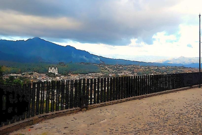
A primary activity is hiking the designated trail to the summit. The trail is approximately 1.2 kilometers in length and involves a moderate ascent. From the summit, panoramic views of Esquipulas and the surrounding agricultural landscape are available. Birdwatching is also a common activity due to the varied vegetation.
Infrastructure & Amenities
There are no formal facilities at Cerro El Esquipulero. The parking area is unpaved and lacks any services. Restrooms and food vendors are not present at the site itself, but are readily available in the town of Esquipulas. Cell phone signal (4G/5G) is generally intermittent on the trail and at the summit.
Best Time to Visit
The best time for hiking is during the dry season, from November to April, to avoid muddy conditions. Early morning (6:00 AM - 9:00 AM) offers cooler temperatures and better lighting for photography of the landscape. Midday sun can be intense.
Facts & Legends
Local lore suggests that the hill was once a sacred site for pre-Hispanic indigenous groups. A specific legend recounts that a rare orchid, believed to possess medicinal properties, only blooms on the western face of the hill during the full moon in May. This orchid has not been scientifically verified.
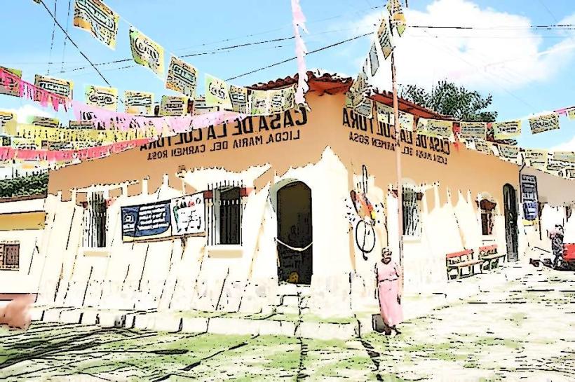
Nearby Landmarks
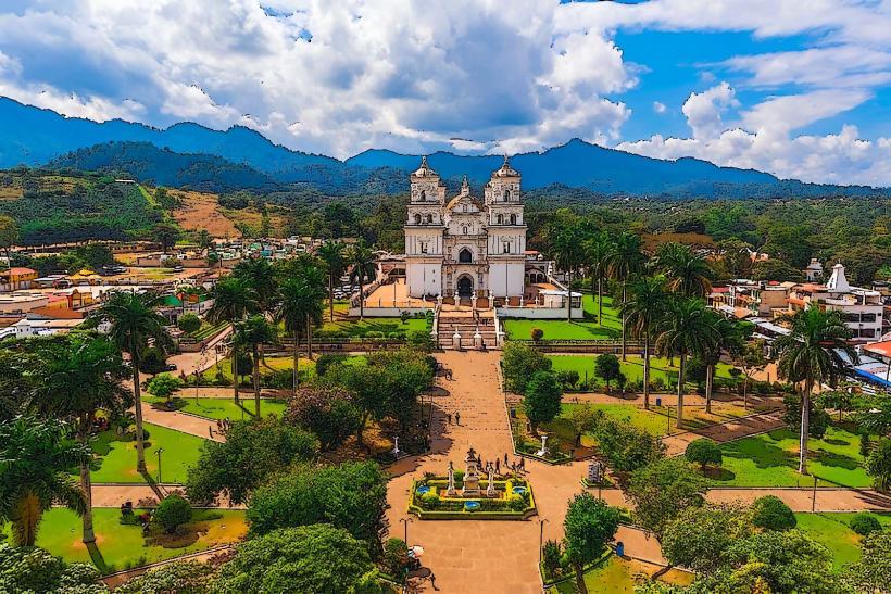
- Basilica of Esquipulas (1.5km East)
- Parque Central de Esquipulas (2.8km East)
- Termales de Santa Rita (4.2km Southeast)
- Finca El Mirador (3.1km Southwest)