Information
Landmark: Cherokee National ForestCity: Johnson City
Country: USA Tennessee
Continent: North America
Cherokee National Forest, Johnson City, USA Tennessee, North America
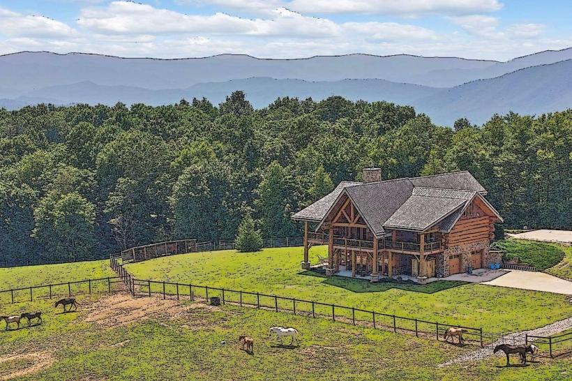
Cherokee National Forest is a protected area located in eastern Tennessee, USA. It is the state's only national forest.
Visual Characteristics
The forest comprises approximately 655,000 acres of deciduous hardwood forest. Dominant tree species include oak, hickory, and pine. Elevation ranges from 800 feet in the valleys to over 5,000 feet on mountain peaks. Rivers and streams are present throughout, with water clarity varying based on recent rainfall. Rock formations include sandstone and limestone outcrops.
Location & Access Logistics
Cherokee National Forest is situated in the Appalachian Mountains, bordering North Carolina. Access points are numerous. From Johnson City, Tennessee, take I-26 East for approximately 15 miles to Exit 37 (US-23 North/US-19 North). Follow US-23/US-19 North for 5 miles to the town of Erwin, which serves as a gateway. Numerous forest roads, often unpaved, branch off from state highways. Parking is available at designated trailheads and recreation areas; availability varies by location and season. Public transport is not available within the forest itself. Nearest major airport is Tri-Cities Regional Airport (TRI), approximately 30 miles west of Johnson City.
Historical & Ecological Origin
Established in 1920, Cherokee National Forest was created through the purchase of cutover and depleted lands. Its primary purpose was timber production and watershed protection. Ecologically, it is part of the Southern Appalachian Mountains ecoregion, characterized by high biodiversity and a long history of forest cover, interrupted by periods of logging and agricultural use.
Key Highlights & Activities
Hiking is a primary activity, with over 700 miles of trails, including sections of the Appalachian Trail. Fishing is permitted in designated streams and rivers. Camping is available at developed campgrounds and dispersed sites. Wildlife viewing opportunities exist for deer, black bears, and various bird species. Scenic drives are possible on roads like the Cherohala Skyway (partially within the forest) and the Blue Ridge Parkway (adjacent).
Infrastructure & Amenities
Restrooms are available at developed campgrounds and some picnic areas. Shade is abundant due to the dense forest canopy. Cell phone signal is intermittent and generally unavailable in remote areas. Food vendors are not present within the forest; provisions should be made before entering. Nearest services are in towns like Erwin and Roan Mountain.
Best Time to Visit
For hiking and general exploration, late spring (May-June) and early autumn (September-October) offer moderate temperatures and reduced insect activity. Autumn foliage viewing is optimal in October. Summer months (July-August) can be hot and humid, with increased chances of thunderstorms. Winter can bring snow and ice, particularly at higher elevations, impacting road accessibility.
Facts & Legends
The Cherokee National Forest contains over 1,000 known archaeological sites, reflecting thousands of years of human habitation by Native American tribes, including the Cherokee. A specific point of interest is the Roan Mountain area, known for its unique "balds" – treeless, grassy summits.
Nearby Landmarks
- Appalachian Trail (0.1km North, various access points)
- Roan Mountain State Park (15km Southwest)
- Carver's Gap (18km Southwest)
- Johnson City (25km West)
- Great Smoky Mountains National Park (60km Southwest)