Information
Landmark: Chicago PedwayCity: Chicago
Country: USA Illinois
Continent: North America
Chicago Pedway, Chicago, USA Illinois, North America
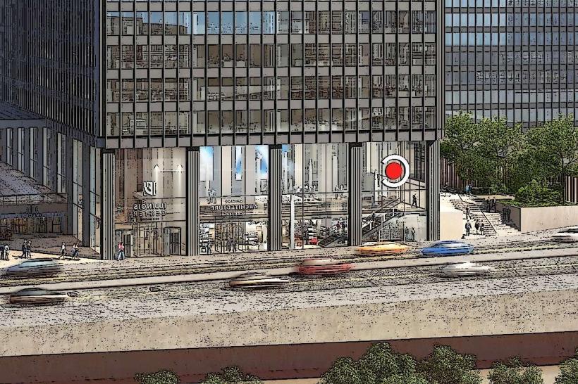
The Chicago Pedway is an interconnected network of pedestrian tunnels and elevated walkways spanning multiple city blocks in downtown Chicago, Illinois.
It provides a climate-controlled route for pedestrians to navigate between buildings and transit stations.
Visual Characteristics
The Pedway consists of enclosed, climate-controlled corridors, primarily constructed from concrete and glass. Interior finishes vary, often featuring painted drywall, tiled floors, and fluorescent lighting. Sections may be at ground level, below street level, or elevated, connecting directly into building lobbies and concourses. Exterior access points are typically marked by signage at street level.
Location & Access Logistics
The Pedway system extends across the Loop and adjacent neighborhoods. Major access points are integrated into numerous office buildings, retail centers, and CTA 'L' train stations, including Washington/Wabash, Clark/Lake, and State/Lake. Specific street-level entrances are located at various intersections, such as State Street and Madison Street, and Randolph Street and Wabash Avenue. Parking is available in numerous commercial garages throughout the Loop, with direct Pedway access from some.
Historical & Ecological Origin
The initial sections of the Chicago Pedway were constructed in the 1950s, with significant expansions occurring in the 1970s and 1980s. The primary purpose was to alleviate street-level congestion and provide a weather-protected transit option for commuters and shoppers. The system is a product of urban planning and infrastructure development, not a natural formation.
Key Highlights & Activities
Navigation between connected buildings. Access to retail shops and food establishments within connected structures. Transfer between multiple CTA 'L' train lines without exiting to street level. Observation of pedestrian traffic flow patterns.
Infrastructure & Amenities
Restrooms are available within many of the connected buildings accessible via the Pedway. Shade is provided by the enclosed nature of the walkways. Cell phone signal (4G/5G) is generally consistent within the Pedway, though it can vary depending on specific location and building materials. Food vendors and restaurants are located within many of the connected commercial buildings.
Best Time to Visit
The Pedway is accessible during the operating hours of the connected buildings and transit stations, typically from early morning to late evening. Weekday rush hours (approximately 7:00 AM - 9:00 AM and 4:00 PM - 6:00 PM) experience the highest pedestrian volume. Midday and weekends offer less crowded conditions.
Facts & Legends
A specific "secret" tip for visitors is to consult detailed Pedway maps, often available online or within connected building directories, as the network can be complex to navigate for first-time users. Some sections are less trafficked and can feel isolated.
Nearby Landmarks
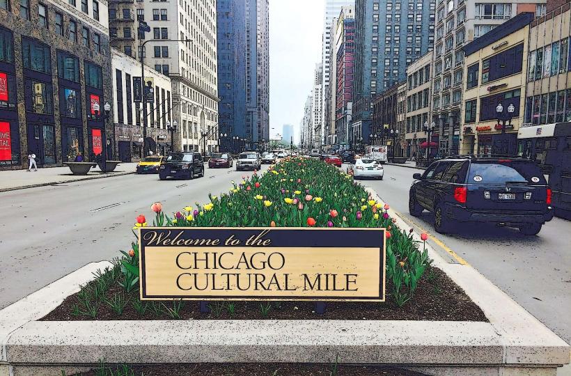
- Chicago Cultural Center (0.2km West)
- Millennium Park (0.8km Southeast)
- Art Institute of Chicago (1.1km Southeast)
- Willis Tower (1.3km Southwest)
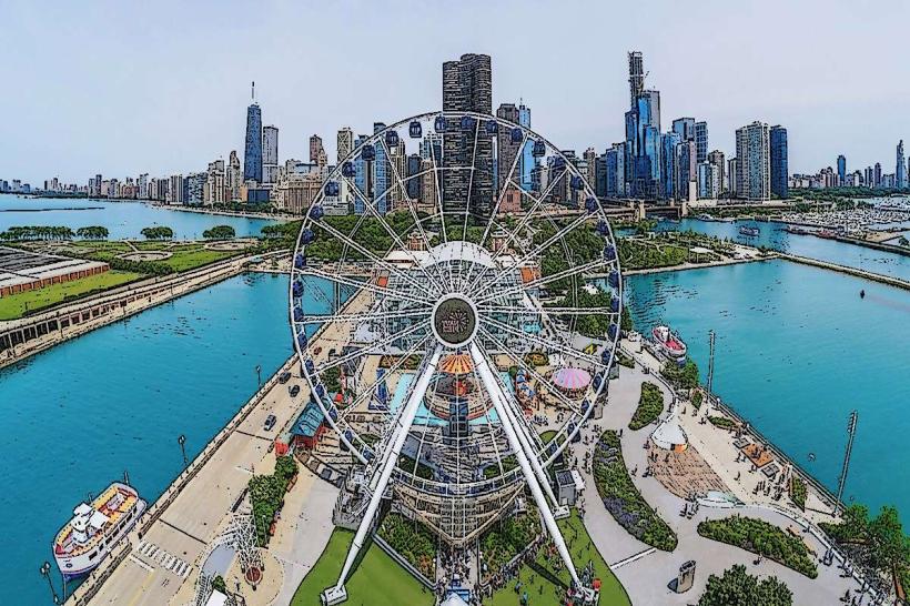
- Navy Pier (2.5km Northeast)