Information
Landmark: Chuckanut DriveCity: Bellingham
Country: USA Washington
Continent: North America
Chuckanut Drive, Bellingham, USA Washington, North America
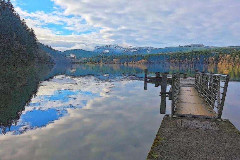
Chuckanut Drive is a scenic highway located in Washington State, USA, running between Burlington and Bellingham.
This 21-mile route follows the coastline of the Puget Sound, offering views of the San Juan Islands and the Cascade Mountains.
Visual Characteristics
The drive features a paved asphalt surface. Roadside vegetation is dense, primarily composed of coniferous forests including Douglas fir and Western red cedar. Coastal sections expose rocky shorelines and small gravel beaches. Elevation changes are moderate, with some sections climbing to approximately 300 feet above sea level.
Location & Access Logistics
Chuckanut Drive (State Route 11) begins at the junction with Interstate 5 near Burlington, WA. It extends north for approximately 21 miles to its terminus at the junction with State Route 539 in Bellingham, WA. Parking is available at designated pull-offs and viewpoints along the route. Public transport is not directly available on Chuckanut Drive itself; nearest bus services operate in Burlington and Bellingham.
Historical & Ecological Origin
The route's origins trace back to early 20th-century road construction efforts to connect coastal communities. It was officially designated as Chuckanut Drive in 1931. Ecologically, the area is part of the Pacific Northwest coastal forest ecosystem, characterized by temperate rainforest conditions.
Key Highlights & Activities
Pull-offs for photography are frequent. Hiking trails are accessible at Larrabee State Park, including the Interurban Trail. Kayaking and paddleboarding are possible from designated beach access points during calm conditions. Birdwatching is common due to the diverse coastal and forest habitats.
Infrastructure & Amenities
Restrooms are available at Larrabee State Park. Shade is provided by the forest canopy along most of the route. Cell phone signal (4G/5G) is intermittent and unreliable in many sections. Food vendors are not present directly on the drive; nearest options are in Bow, Edison, or Bellingham.
Best Time to Visit
For photography, early morning or late afternoon light provides optimal conditions. The months of May through October generally offer the most stable weather. High tide can enhance coastal views but may limit beach access in some areas.
Facts & Legends
A local legend suggests that the name "Chuckanut" originates from a Native American word for "long, narrow beach." A verified historical oddity is the presence of the historic Taylor Shell Midden, an archaeological site indicating long-term human habitation in the area.
Nearby Landmarks
- Larrabee State Park (0.1km West)
- Edison (4.5km South)
- Bow (6.2km South)
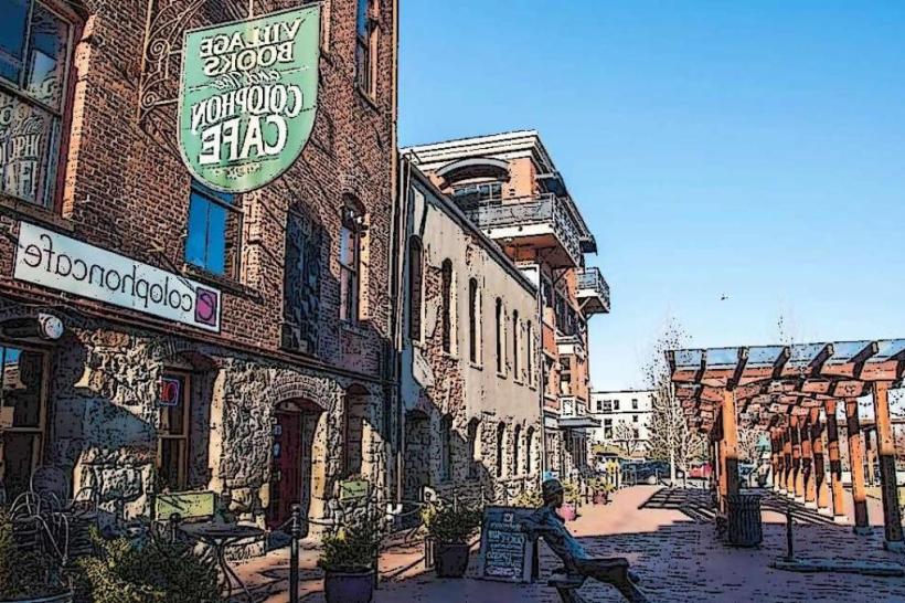
- Fairhaven Historic District, Bellingham (8.1km North)
- Whatcom Falls Park, Bellingham (10.5km North)