Information
Landmark: Claytor Lake State ParkCity: Pulaski
Country: USA Virginia
Continent: North America
Claytor Lake State Park, Pulaski, USA Virginia, North America
Claytor Lake State Park is a 4,500-acre public recreation area situated in Pulaski, Virginia, USA.
Visual Characteristics
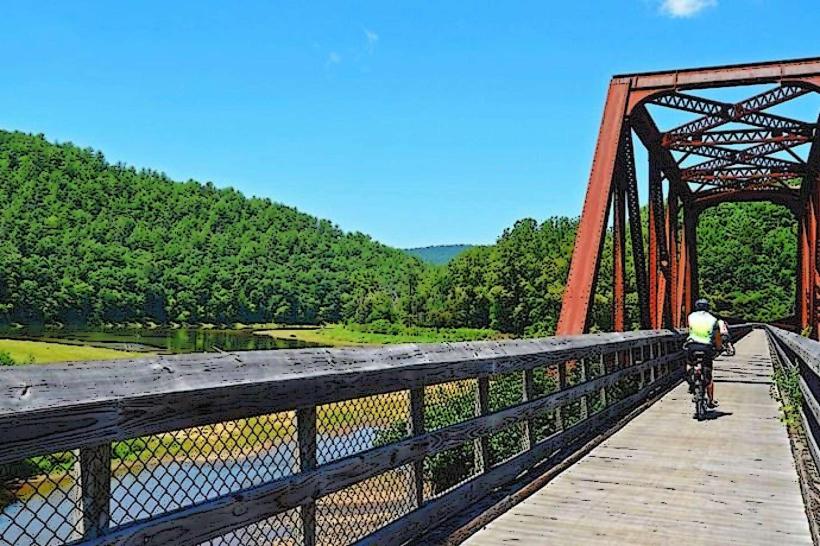
The park's central feature is Claytor Lake, a 4,400-acre reservoir with a shoreline extending 21 miles. The water color varies from deep blue to greenish depending on light conditions and depth. The surrounding terrain consists of mixed deciduous and coniferous forests, with elevations ranging from approximately 1,800 to 2,200 feet above sea level. Rock outcroppings are present along the shoreline and in steeper sections of the park.
Location & Access Logistics
Claytor Lake State Park is located approximately 5 miles east of Pulaski, Virginia. Access is via State Route 61 (Wilder's Road) from Interstate 81, Exit 98. The park entrance is clearly marked. Ample parking is available at various points throughout the park, including near the marina, beach, and campground. Public transportation options directly to the park are not available; visitors typically require private vehicles.
Historical & Ecological Origin
Claytor Lake was created by the construction of the Claytor Dam on the New River, completed in 1925 by the Appalachian Power Company. The dam's primary purpose was hydroelectric power generation. The park itself was established later to manage the recreational use of the reservoir and surrounding lands. The area's ecology is characteristic of the Appalachian Ridge-and-Valley province, supporting diverse flora and fauna.
Key Highlights & Activities
Activities include boating, swimming at the designated beach area, fishing (bass, crappie, catfish), and hiking on 12 miles of trails. The park offers boat rentals and a marina. Kayaking and paddleboarding are also popular. Interpretive programs are offered seasonally.
Infrastructure & Amenities
Restrooms are available at multiple locations, including the beach, marina, and campground. Shaded picnic areas are provided. Cell phone signal (4G) is generally available within the park, though it may be intermittent in more remote sections. Food vendors are typically present at the marina during peak season; otherwise, visitors should bring their own provisions.
Best Time to Visit
For swimming and boating, the months of June through August offer the warmest water temperatures. For hiking and photography, spring (April-May) and fall (September-October) provide moderate temperatures and distinct foliage colors. The best time of day for photography is generally early morning or late afternoon for softer light. High tide is not a relevant factor for lake access.
Facts & Legends
A local legend suggests that a submerged town exists at the bottom of Claytor Lake, though this is unverified. A specific tip for anglers is to target submerged structure and drop-offs, particularly for bass, as these areas concentrate fish.
Nearby Landmarks
- New River Trail State Park (10km West)
- Wilder's Farm (2km South)
- Pulaski County Historical Society Museum (5km West)
- Smith Mountain Lake State Park (40km Southeast)
- Roanoke Star (45km Southeast)