Landmark: Coastal Hiking Trails
City: Ponta do Sol
Country: Cabo Verde
Continent: Africa
Coastal Hiking Trails, Ponta do Sol, Cabo Verde, Africa
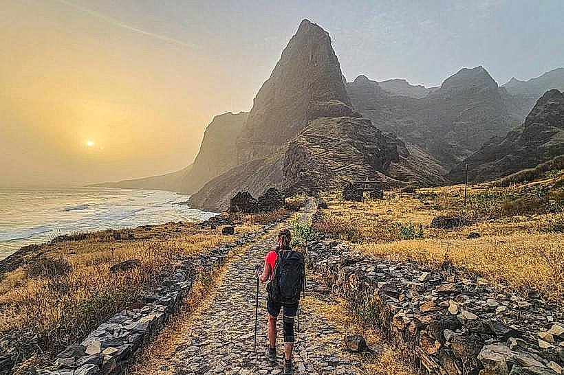
The Coastal Hiking Trails in Ponta do Sol, Cabo Verde, offer a network of paths traversing the island's northern coastline. These routes provide access to varied geological features and ocean views.
Visual Characteristics
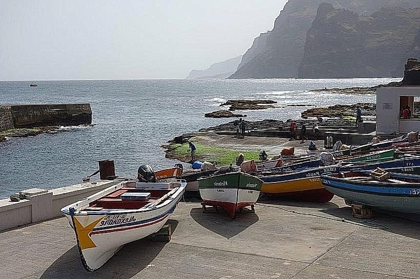
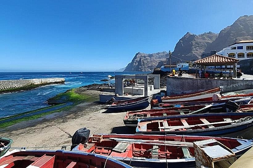
The trails consist of compacted earth and exposed volcanic rock. Vegetation is sparse, characterized by drought-resistant succulents and low-lying shrubs. The coastline features dark basalt cliffs and small, rocky coves. Ocean water color ranges from deep blue to turquoise depending on depth and light conditions.
Location & Access Logistics
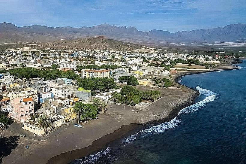
The primary access point is located at the eastern edge of Ponta do Sol, approximately 0.2km East of the town center. Parking is available along the unpaved road leading to the trailhead. Public transport to Ponta do Sol includes inter-city buses from other towns on Santo Antão island; no specific bus lines service the trailhead directly. The nearest ferry terminal is in Porto Novo, 45km South-West, requiring onward bus travel.
Historical & Ecological Origin
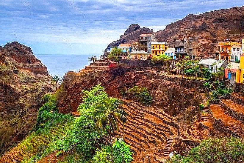
The geological formations are primarily basaltic lava flows from past volcanic activity, characteristic of the volcanic island arc of the Cape Verde archipelago. The ecological system is a semi-arid coastal scrubland, adapted to minimal rainfall and high salinity.
Key Highlights & Activities
Hiking the main coastal path to the lighthouse (Farol da Ponta do Sol) is a primary activity. Observing seabird nesting sites is possible during specific seasons. Rock scrambling is permitted in designated areas. Photography of geological formations and ocean vistas is a common pursuit.
Infrastructure & Amenities
Restrooms are not available directly on the trails. Shade is minimal, provided only by natural rock overhangs. Cell phone signal (4G) is generally available in most sections. Food vendors are located in Ponta do Sol town, approximately 0.2km West of the trailhead.
Best Time to Visit
For photography, early morning (07:00-09:00) and late afternoon (16:00-18:00) offer optimal lighting conditions. The dry season, from November to June, provides the most stable weather. High tide can affect access to some lower-lying coves.
Facts & Legends
A local anecdote suggests that during clear nights, the phosphorescence in the water near the lighthouse is caused by the tears of a mermaid mourning her lost love. Verified historical data indicates the lighthouse was constructed in the early 20th century to aid maritime navigation.
Nearby Landmarks
- Farol da Ponta do Sol (Lighthouse) - 0.8km West
- Ribeira Grande Town - 3.5km South-West
- Cruzinha Port - 6.2km North-West
- Paúl Valley Entrance - 7.1km South