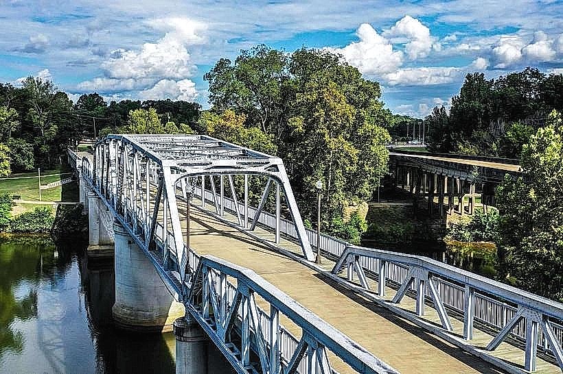
Landmark: Columbus Riverwalk
City: Columbus MS
Country: USA Mississippi
Continent: North America
Columbus Riverwalk, Columbus MS, USA Mississippi, North America
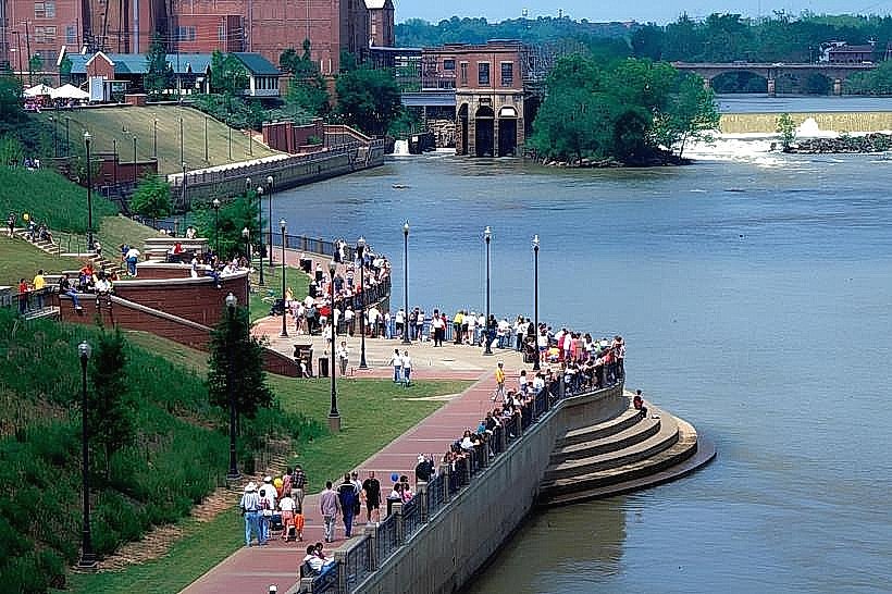
The Columbus Riverwalk is a paved pedestrian pathway situated along the Tombigbee River in Columbus, Mississippi, USA.
It provides access to the riverfront and connects several points of interest within the city.
Visual Characteristics
The Riverwalk features a paved asphalt surface, approximately 3 meters wide. It is bordered by a low concrete retaining wall on the river side and a mix of grass, trees, and urban landscaping on the landward side. The river itself is a brown, slow-moving waterway characteristic of the Mississippi Delta region. Views are primarily of the river, the opposite bank, and the city skyline.
Location & Access Logistics
The Columbus Riverwalk is located in downtown Columbus, Mississippi. Access points are available from Main Street and Side Street, with the primary entrance near the intersection of Main Street and 4th Avenue. The Riverwalk extends approximately 1.5 kilometers. Parking is available in designated city lots along Main Street and Side Street, typically costing $1 per hour. Public transport options are limited; the Columbus Transit System operates bus routes that stop within a 0.5km radius of the main access points.
Historical & Ecological Origin
The Columbus Riverwalk was developed as part of a city revitalization project, with construction beginning in the early 2000s. Its purpose is to enhance public access to the Tombigbee River, promote recreational activities, and connect downtown businesses. Ecologically, the Tombigbee River is part of the Black Warrior-Tombigbee River system, a major tributary of the Mobile River, supporting a diverse freshwater ecosystem.
Key Highlights & Activities
Walking and jogging are the primary activities. Bicycling is permitted. Fishing is possible from designated areas along the riverbank. Observation points offer views of the river traffic. The Riverwalk connects to the Columbus Lock and Dam, approximately 2km south, which can be accessed via a separate trail.
Infrastructure & Amenities
Restrooms are available at the main access point near the Columbus-Lowndes Convention Center. Benches are spaced along the pathway, providing seating. Shade is provided by mature trees planted along the route. Cell phone signal (4G/5G) is generally strong throughout the Riverwalk. No food vendors are permanently located on the Riverwalk itself, but several restaurants and cafes are situated within a 0.2km radius in the downtown area.
Best Time to Visit
For photography, early morning (7:00 AM - 9:00 AM) offers softer light and fewer people. Late afternoon (4:00 PM - 6:00 PM) also provides favorable lighting conditions. The best months for comfortable outdoor activity are April through May and September through October, with average temperatures ranging from 15°C to 25°C. Summer months (June-August) can be excessively hot and humid.
Facts & Legends
A local historical oddity is the presence of remnants of the original Columbus and West Point Railroad bridge piers, visible in the river during low water levels, dating back to the late 19th century.
Nearby Landmarks
- Columbus-Lowndes Convention Center (0.1km West)
- Tennessee Williams Home and Welcome Center (0.3km North)
- Friendship Cemetery (0.4km Northeast)
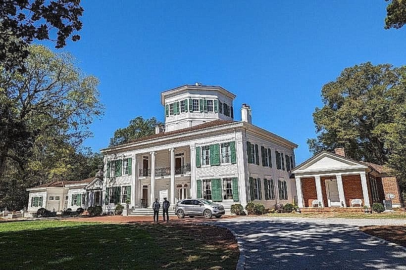
- Lowndes County Historical Museum (0.5km North)
- First United Methodist Church (0.6km North)