Landmark: Crow Wing State Park
City: Brainerd
Country: USA Minnesota
Continent: North America
Crow Wing State Park, Brainerd, USA Minnesota, North America
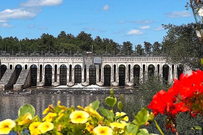
Crow Wing State Park is a historical and natural site located near Brainerd, Minnesota, at the confluence of the Mississippi and Crow Wing Rivers.
Visual Characteristics
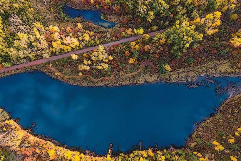
The park features a mix of deciduous forest and prairie. The Mississippi River is approximately 150 meters wide at this point, with a brown, silty water color. The Crow Wing River is narrower, with clearer water. Soil composition is primarily sandy loam. Remnants of historical structures are visible as stone foundations and earthworks.
Location & Access Logistics
Crow Wing State Park is situated 10 miles south of Brainerd, Minnesota, accessible via State Highway 34 East and County Road 2. From Brainerd, take MN-34 E for 7 miles, then turn right onto County Road 2 (also marked as Crow Wing State Park Road). Continue for 3 miles to the park entrance. Parking is available in designated lots near the visitor center and historical sites. No public transport directly serves the park.
Historical & Ecological Origin
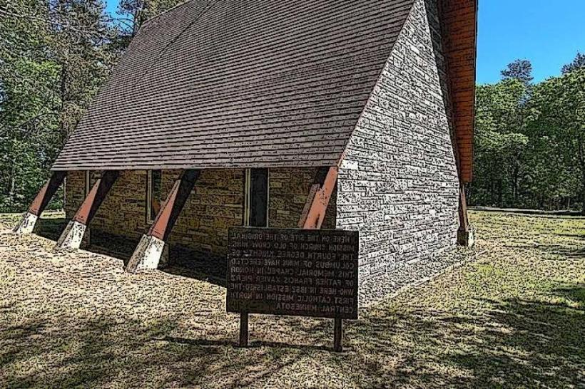
The site was a significant fur trading post established by the American Fur Company in 1849. It served as a vital hub for commerce and transportation along the Mississippi River. Ecologically, the park protects a riparian zone at the junction of two major Minnesota rivers, supporting diverse plant and animal life adapted to riverine environments.
Key Highlights & Activities
Visitors can explore the remains of the fur trading post, including foundations and interpretive signage. Hiking trails traverse the wooded areas and riverbanks. Fishing is permitted in both rivers. Birdwatching opportunities are present throughout the park. Interpretive programs are offered seasonally.
Infrastructure & Amenities
Restrooms are available at the visitor center and main picnic area. Picnic tables and shelters are provided. Shade is abundant within the forested sections. Cell phone signal (4G/5G) is generally available but can be intermittent in deeper wooded areas. No on-site food vendors; nearest facilities are in Brainerd.
Best Time to Visit
For photography, early morning and late afternoon offer optimal lighting conditions for the river views and forest trails. The best months for weather are May through October, with July and August being the warmest. Spring (April-May) is suitable for observing migratory birds. No tide-dependent activities.
Facts & Legends
The fur trading post at Crow Wing was a key point on the Mississippi River steamboat route, connecting the upper Midwest to St. Louis. A local legend speaks of a hidden cache of furs buried by a trader to prevent its capture during periods of unrest, though no evidence has been found.
Nearby Landmarks
- 16km Northwest: Northland Arboretum
- 18km Northwest: Cuyuna Country State Recreation Area
- 20km Northeast: Paul Bunyan Land
- 25km Southwest: Merrifield