Landmark: Dead Creek Wildlife Management Area
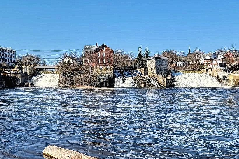
City: Vergennes
Country: USA Vermont
Continent: North America
Dead Creek Wildlife Management Area, Vergennes, USA Vermont, North America
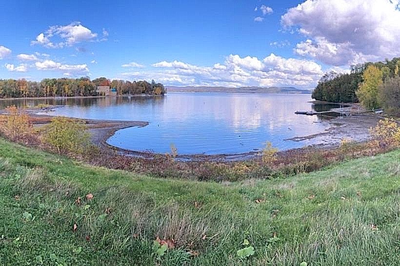
Dead Creek Wildlife Management Area is a protected wetland located in Vergennes, Vermont. It encompasses a significant portion of the Dead Creek watershed.
Visual Characteristics
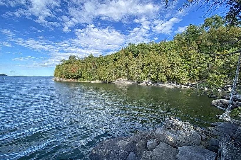
The area consists primarily of shallow wetlands, marshes, and emergent vegetation. Dominant plant species include cattails, sedges, and various aquatic grasses. Open water channels and mudflats are interspersed throughout the landscape. The surrounding terrain is generally flat to gently rolling, with mixed deciduous and coniferous forests bordering the wetlands.
Location & Access Logistics
Dead Creek Wildlife Management Area is situated approximately 1.5 kilometers west of Vergennes city center. Access is primarily via Route 17 West. Turn north onto Dead Creek Road, which provides direct access to parking areas. Several gravel pull-offs and designated parking lots are available along Dead Creek Road. Public transport options are limited; the closest bus route stops in Vergennes, requiring a taxi or private vehicle for onward travel to the WMA.
Historical & Ecological Origin
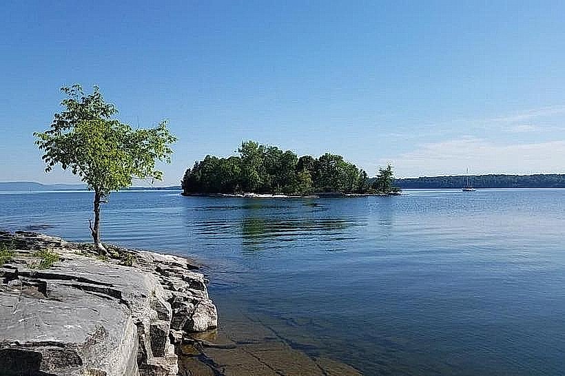
The area's ecological origin is rooted in glacial activity and subsequent wetland formation. Dead Creek itself is a slow-moving waterway that drains into Lake Champlain. Historically, the land was utilized for agriculture and hunting before its designation as a Wildlife Management Area to preserve habitat for waterfowl and other migratory birds. The current management practices aim to maintain wetland conditions through water level control and vegetation management.
Key Highlights & Activities
Birdwatching is a primary activity, with opportunities to observe a diverse range of waterfowl, shorebirds, and raptors. Observation blinds are strategically placed throughout the area. Fishing is permitted in designated channels during open seasons. Hiking is possible on unpaved service roads and designated trails, though footwear suitable for wet conditions is recommended. Canoeing and kayaking are feasible on open water sections during periods of sufficient water depth.
Infrastructure & Amenities
Restrooms are available at the main access point near the parking area. Limited shade is provided by trees along the perimeter roads. Cell phone signal (4G/5G) is inconsistent within the WMA, with better reception closer to Route 17. No food vendors are located within the management area; provisions should be made prior to arrival.
Best Time to Visit
For birdwatching, the spring (April-May) and fall (September-October) migration periods offer the highest species diversity. Early morning and late afternoon provide optimal lighting conditions for photography. Water levels can fluctuate, impacting canoe/kayak access; consult local conditions before planning water-based activities.
Facts & Legends
A notable historical oddity is the presence of remnants of old farmsteads within the WMA, indicating past human settlement. Local folklore sometimes refers to the area as a resting place for spirits of the land, though no specific documented legends are widely circulated.
Nearby Landmarks
- Mount Independence State Historic Site (12km Southwest)
- Fort Ticonderoga (15km Southwest)
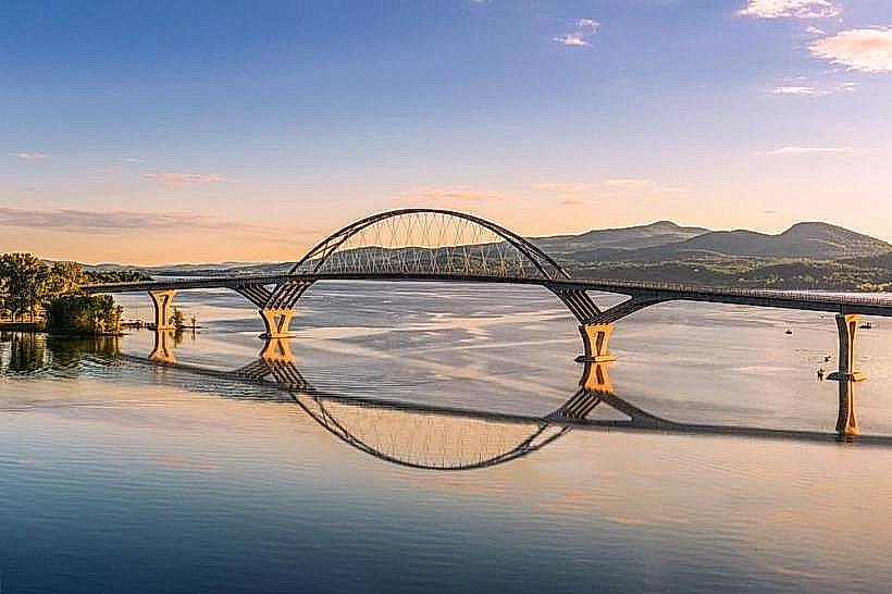
- Lake Champlain Maritime Museum (2km West)
- Button Bay State Park (6km Northwest)