Landmark: Deadwood Trailhead
City: Deadwood
Country: USA South Dakota
Continent: North America
Deadwood Trailhead, Deadwood, USA South Dakota, North America
The Deadwood Trailhead serves as the primary access point for the extensive trail system in Deadwood, South Dakota. It is situated on the western edge of the city.
Visual Characteristics
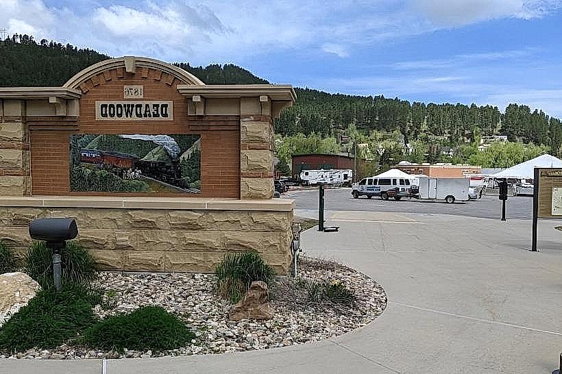
The trailhead area is characterized by a gravel parking lot adjacent to a paved access road. A prominent wooden sign identifies the location. The surrounding vegetation consists of Ponderosa pine and various underbrush typical of the Black Hills region. The terrain immediately accessible from the trailhead is moderately sloped.
Location & Access Logistics
The Deadwood Trailhead is located at the western terminus of Main Street in Deadwood, South Dakota. It is approximately 0.5km from the central business district. Access is via Main Street, which transitions into a gravel road leading to the parking area. Parking is available in an unpaved lot with capacity for approximately 30 vehicles. No public transport directly serves the trailhead; visitors typically arrive by private vehicle.
Historical & Ecological Origin
The Deadwood Trailhead is a modern development, established to facilitate access to historical mining and logging routes. The area's ecology is part of the Black Hills uplift, a geological formation dating back to the Precambrian era, characterized by ancient crystalline rocks. The trails themselves often follow routes used by early prospectors and timber operations.
Key Highlights & Activities
Hiking is the primary activity. The trailhead provides access to the Deadwood Rim Trail, the Deer Creek Trail, and connections to the George S. Mickelson Trail. Trail users can engage in day hikes or longer backpacking trips. Horseback riding is permitted on designated trails. Mountain biking is also a common activity.
Infrastructure & Amenities
The trailhead features a gravel parking lot and a single information kiosk displaying trail maps. Restroom facilities are not present at the trailhead itself. Cell phone signal (4G/5G) is intermittent to absent within the immediate vicinity. No food vendors are located at the trailhead; amenities are available in downtown Deadwood.
Best Time to Visit
For hiking and biking, the optimal months are May through October, avoiding winter snowpack. Mid-morning (9:00 AM - 11:00 AM) and late afternoon (3:00 PM - 5:00 PM) offer the best lighting conditions for photography due to reduced direct sunlight on the trails.
Facts & Legends
A local legend suggests that some of the older, less-maintained trails may still contain remnants of prospector caches from the gold rush era, though no verified discoveries have been publicly documented.
Nearby Landmarks
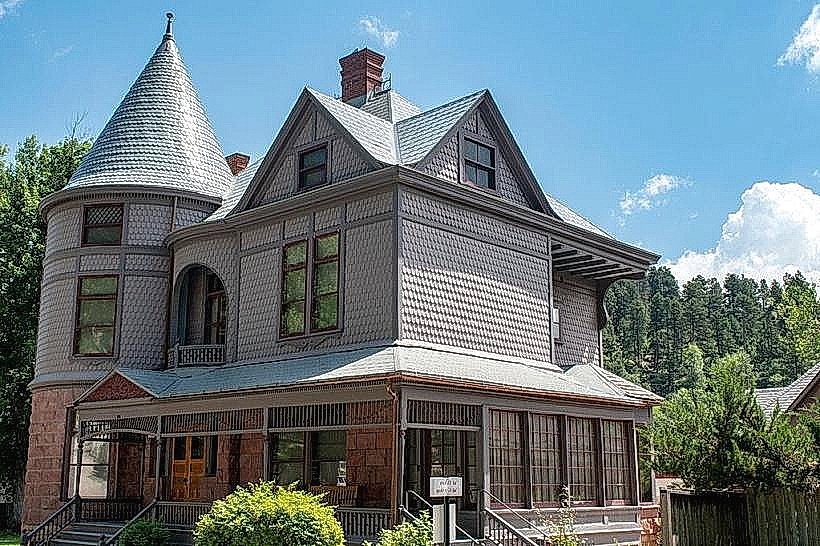
- 0.5km East: Historic Downtown Deadwood (historic district)
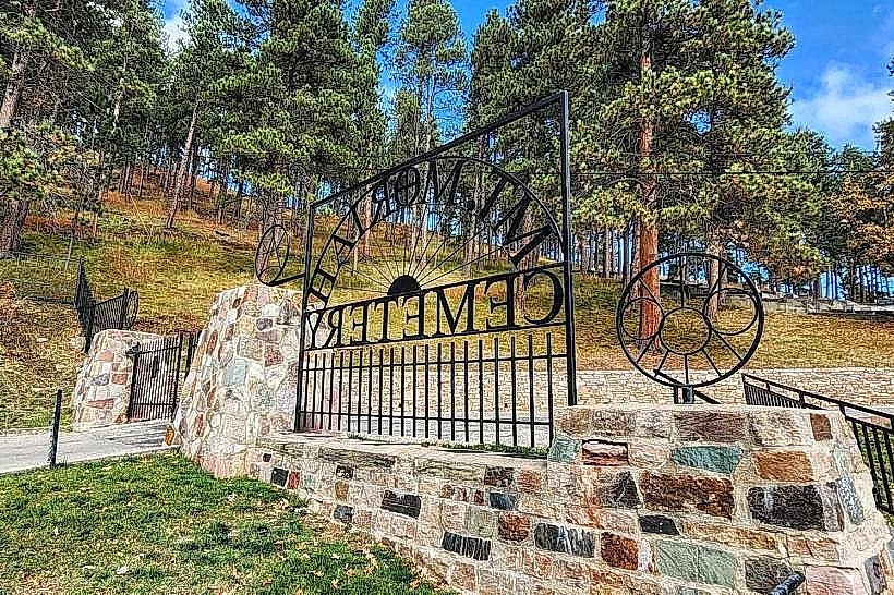
- 1.2km Southeast: Mount Moriah Cemetery (cemetery)
- 3.5km Southwest: Terry Peak Ski Area (recreational area)
- 4.0km North: Deadwood Reservoir (water body)