Landmark: Devil’s Punchbowl State Natural Area
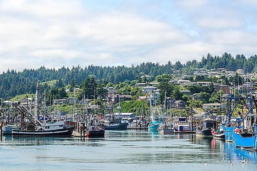
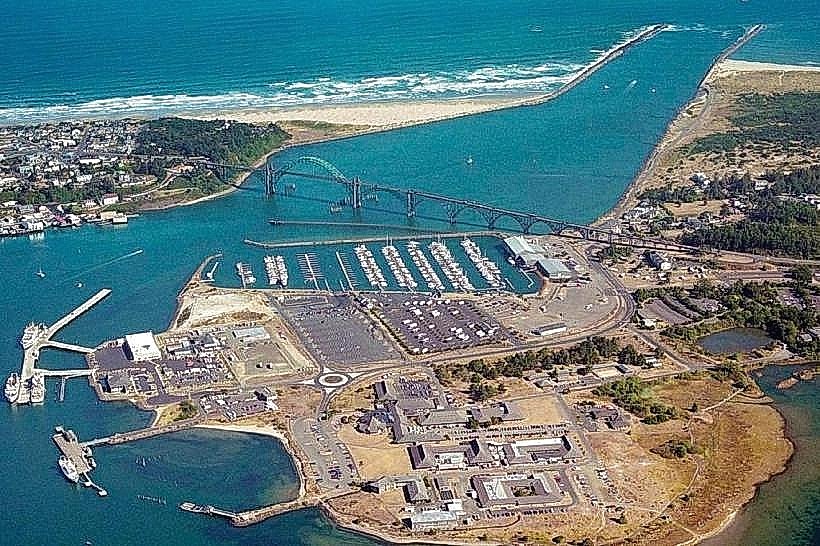
City: Newport
Country: USA Oregon
Continent: North America
Devil’s Punchbowl State Natural Area, Newport, USA Oregon, North America
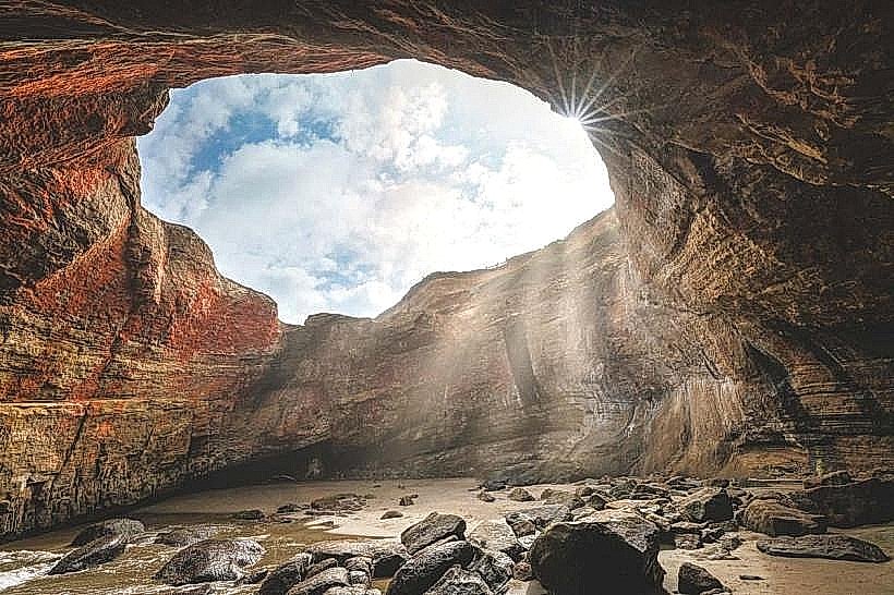
Devil’s Punchbowl State Natural Area is a geological formation located on the Oregon Coast, approximately 5 kilometers north of Newport, Oregon.
Visual Characteristics
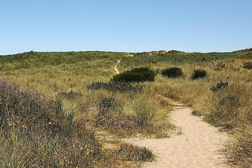
The primary feature is a large, bowl-shaped depression in the coastal rock. During high tide, ocean water surges into the bowl, creating turbulent conditions. The surrounding cliffs are composed of basalt rock, exhibiting layered sedimentary patterns. Vegetation consists of coastal grasses and hardy shrubs.
Location & Access Logistics
The area is accessible via U.S. Route 101. From Newport, travel north on U.S. Route 101 for approximately 5 kilometers. Turn west onto the signed entrance road. Parking is available in a designated lot adjacent to the visitor center. Public transport options are limited; the nearest bus stop is located on U.S. Route 101, requiring a walk of approximately 1 kilometer to the site entrance.
Historical & Ecological Origin
The formation is a result of the collapse of a sea cave. Over time, wave action eroded the roof of the cave, leading to its eventual caving in. This process created the distinctive bowl shape. The basalt rock dates back to the Miocene epoch.
Key Highlights & Activities
Observation of wave action within the punchbowl is the primary activity. This is most dramatic during high tide. Beachcombing is possible on the adjacent shoreline. Hiking trails provide access to viewpoints overlooking the formation and the Pacific Ocean.
Infrastructure & Amenities
Restrooms are available near the parking area. Limited shade is provided by coastal vegetation. Cell phone signal (4G/5G) is generally available. No food vendors are present within the natural area; nearest services are in Newport.
Best Time to Visit
For observing the most active wave surge, visit during high tide. The best months for weather are typically July through September, offering drier conditions and calmer seas. Mid-afternoon provides direct sunlight on the formation.
Facts & Legends
Local lore suggests the name "Devil's Punchbowl" originated from the swirling, chaotic water that resembles a cauldron being stirred by an unseen force. Geologically, the formation is a testament to the erosive power of the Pacific Ocean.
Nearby Landmarks
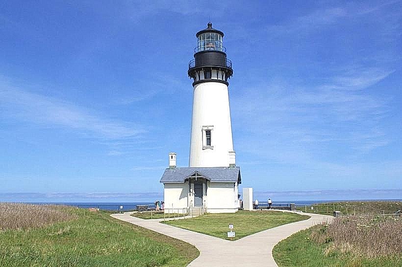
- Yaquina Head Lighthouse (1.5km South)
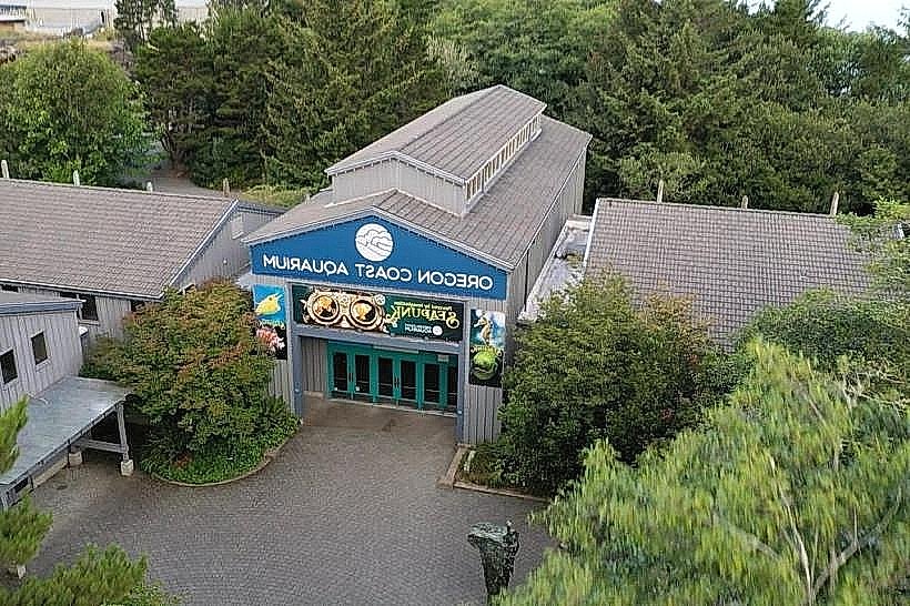
- Oregon Coast Aquarium (4.0km South)
- Hatfield Marine Science Center (4.5km South)
- South Beach State Park (6.0km South)