Landmark: Exuma Cays Land & Sea Park
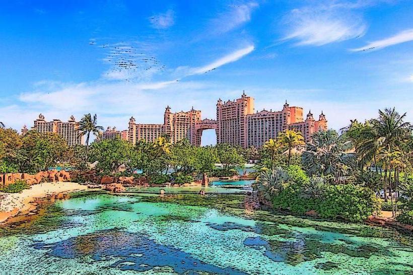
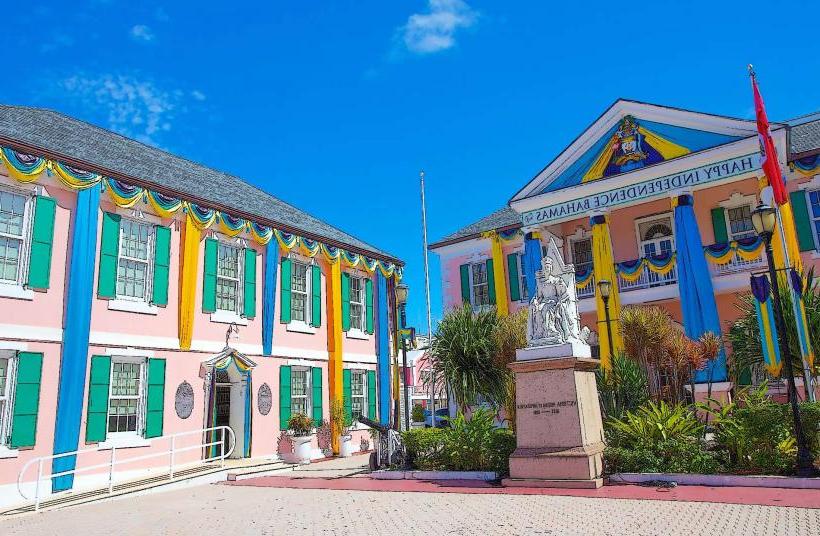
City: Nassau
Country: Bahamas
Continent: North America
Exuma Cays Land & Sea Park, Nassau, Bahamas, North America
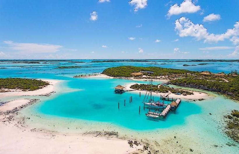
The Exuma Cays Land and Sea Park is a protected marine area located in the Exuma district of the Bahamas. It encompasses a chain of islands and surrounding waters.
Visual Characteristics
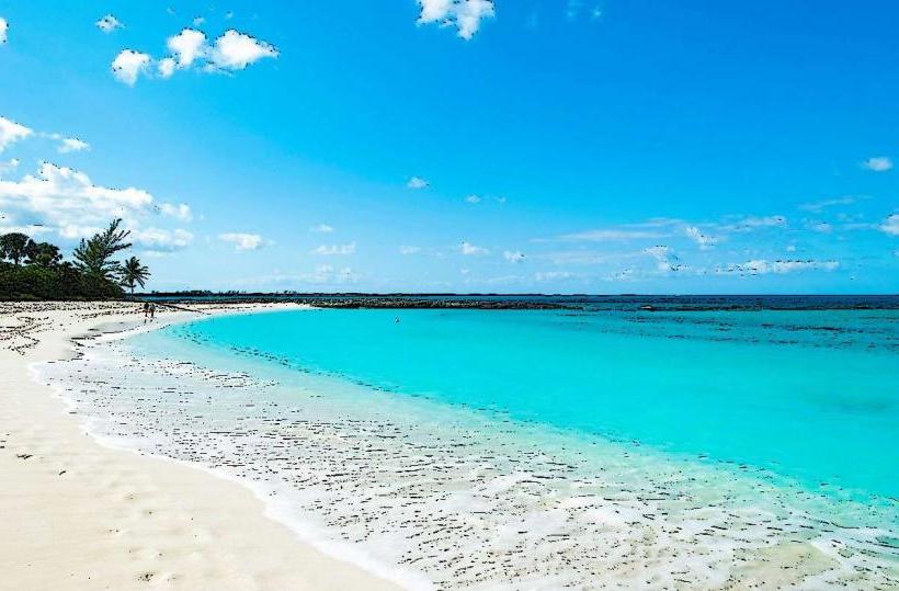
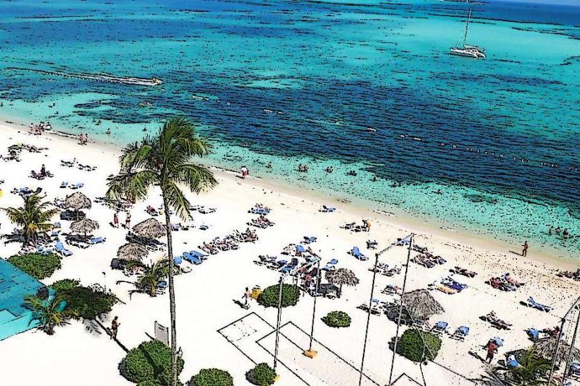
The park features a series of low-lying limestone islands with sparse vegetation, primarily consisting of low shrubs and sea grape trees. The surrounding waters exhibit a range of blues and greens, from pale turquoise in shallow areas to deep sapphire in channels. Coral reefs are present beneath the surface, supporting diverse marine life. The coastline is characterized by sandy beaches and rocky outcrops.
Location & Access Logistics
The Exuma Cays Land and Sea Park is situated approximately 100 kilometers southeast of Nassau. Access is primarily via boat. Private vessels can anchor in designated areas, adhering to park regulations. Scheduled boat tours and charters depart from Staniel Cay and Georgetown, Exuma. There are no direct road connections to the park from Nassau; travel requires inter-island flights to Exuma followed by sea transport.
Historical & Ecological Origin
Established in 1958, the Exuma Cays Land and Sea Park was the first protected area of its kind in the world. Its creation was driven by a need to conserve the unique marine ecosystems and biodiversity of the Exuma Cays. Ecologically, the area is classified as a coral reef system and a marine protected area, crucial for the breeding and protection of numerous fish and invertebrate species.
Key Highlights & Activities
Activities include snorkeling and diving within designated reef areas. Kayaking and paddleboarding are permitted in calm waters. Wildlife observation, particularly of marine life and seabirds, is a primary focus. Fishing is strictly prohibited within the park boundaries. Guided boat tours often include stops at specific cays for exploration.
Infrastructure & Amenities
Basic infrastructure is limited to designated mooring buoys and some marked trails on larger islands. There are no permanent structures for visitor services within the park itself. Restrooms are not available. Cell phone signal is unreliable and generally absent within the park. Food vendors are not present; visitors must bring their own supplies.
Best Time to Visit
The best time for clear water visibility for snorkeling and diving is generally from December to May, during the dry season. Calmest sea conditions are typically experienced during these months. The park is accessible year-round, but weather can impact boat travel during hurricane season (June to November).
Facts & Legends
The park is a critical nursery ground for many commercially important fish species, contributing to the health of fisheries outside its boundaries. A specific regulation within the park prohibits the removal of any natural resources, including shells and coral, reinforcing its conservation mandate.
Nearby Landmarks
- Staniel Cay (0.5km West)
- Pig Beach (Big Major Cay) (2km South)
- Thunderball Grotto (1km Southwest)
- Compass Cay (3km North)
- O'Brien's Cay (4km East)