Landmark: Fajã de Cima
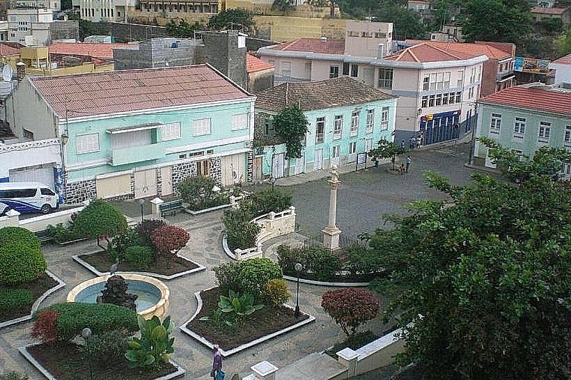
City: Ribeira Brava
Country: Cabo Verde
Continent: Africa
Fajã de Cima, Ribeira Brava, Cabo Verde, Africa
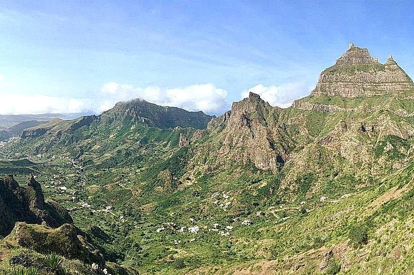
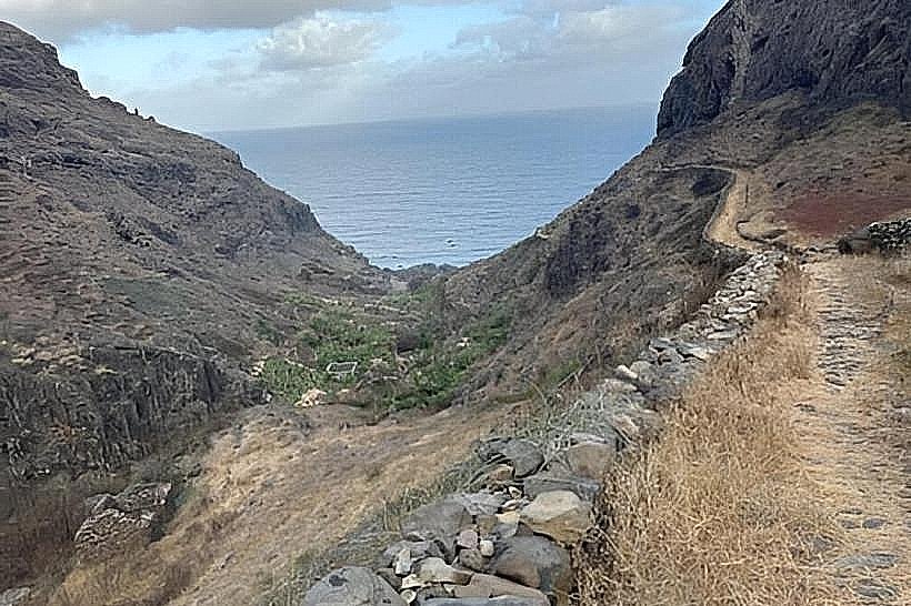
Fajã de Cima is a coastal plain located on the island of São Nicolau in Cabo Verde, situated near the town of Ribeira Brava.
This geographical feature is characterized by its relatively flat terrain extending from the base of a cliff face towards the Atlantic Ocean.
Visual Characteristics
The plain consists of dark, volcanic soil interspersed with patches of green vegetation, primarily low-lying shrubs and grasses. The coastline is rocky, with wave action creating a consistent spray. The elevation is minimal, close to sea level.
Location & Access Logistics
Fajã de Cima is located approximately 2 kilometers west of Ribeira Brava. Access is via the regional road EN1-SN1, which runs along the coast. Parking is available on the shoulder of the road at designated pull-off points. Public transport options are limited; local taxis from Ribeira Brava are the most reliable method of access.
Historical & Ecological Origin
This fajã is a geomorphological formation, a coastal plain created by the accumulation of sediment and volcanic debris at the foot of a steep cliff. Its formation is a result of erosion and deposition processes over geological time, influenced by the island's volcanic origin.
Key Highlights & Activities
Observation of coastal erosion patterns. Birdwatching, particularly seabirds that nest on the cliffs. Walking along the rocky shoreline. Photography of the coastal landscape.
Infrastructure & Amenities
There are no dedicated facilities at Fajã de Cima. Restrooms, shade, and food vendors are not present. Cell phone signal (4G/5G) is generally available but can be intermittent due to the coastal location.
Best Time to Visit
For photography, early morning or late afternoon provides optimal lighting conditions due to the angle of the sun. The weather is generally consistent year-round, but the dry season (November to June) offers less chance of rain. High tide can increase wave activity along the shore.
Facts & Legends
Local lore suggests that during periods of intense volcanic activity in the island's past, molten lava flowed down to this area, contributing to its formation. The name "Fajã de Cima" translates to "Upper Plain," distinguishing it from other coastal plains on the island.
Nearby Landmarks
- Ribeira Brava Town Center (2km East)
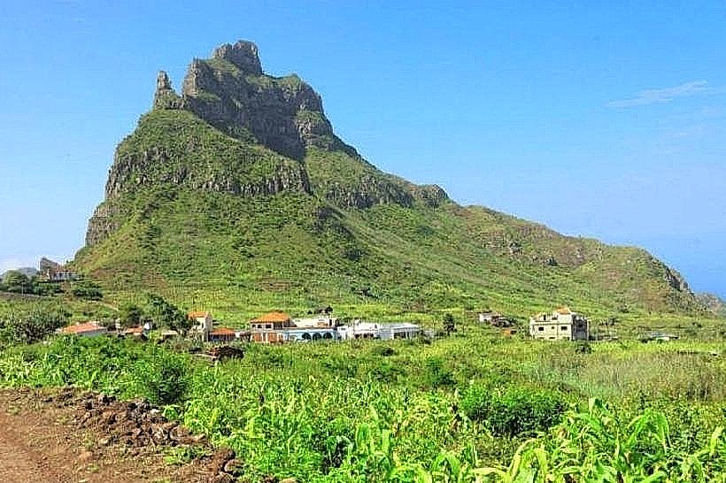
- Monte Verde (5km North-West)
- Tarrafal de São Nicolau (15km West)
- Cais de Preguiça (3km North-East)