Landmark: Firefly Trail
City: Athens City
Country: USA Georgia
Continent: North America
Firefly Trail, Athens City, USA Georgia, North America
The Firefly Trail is a multi-use recreational path located in Athens, Georgia, USA. It follows a former railway corridor.
Visual Characteristics
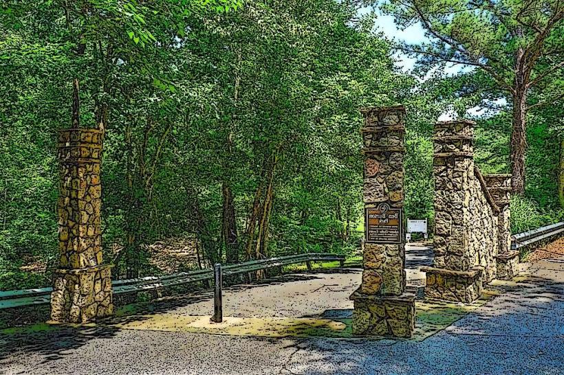
The trail is primarily paved asphalt, measuring approximately 10 feet in width. It is bordered by mature deciduous trees, providing shade for much of its length. The terrain is generally flat with a gradual incline in some sections. The path is marked with mile and kilometer posts.
Location & Access Logistics
The Firefly Trail has multiple access points. The main trailhead is located at 1000 Athena Drive, Athens, GA 30605, approximately 3 miles east of downtown Athens. Parking is available at this trailhead in a dedicated gravel lot. Additional access points are located at the intersection of Timothy Road and the trail, and at the east end near the Oconee River. Public transport options are limited; the closest bus route (Athens-Clarke County Transit Route 5) stops approximately 1 mile west of the Athena Drive trailhead.
Historical & Ecological Origin
The Firefly Trail is built on the former corridor of the Georgia Railroad, which ceased operations in the late 20th century. The corridor was acquired by Athens-Clarke County for conversion into a recreational path. The surrounding environment is a mix of mixed hardwood forest and riparian zones along the Middle Oconee River.
Key Highlights & Activities
Activities include walking, jogging, cycling, and inline skating. Birdwatching is common due to the forested environment. The trail connects to the Athens-Oconee Greenway at its western terminus.
Infrastructure & Amenities
Restrooms are available at the Athena Drive trailhead. Benches are situated at regular intervals along the trail. Shade is provided by the tree canopy. Cell phone signal (4G/5G) is generally consistent along the trail. No food vendors are directly located on the trail; nearest options are in commercial areas near access points.
Best Time to Visit
For optimal lighting for photography, early morning or late afternoon are recommended. The months of April through October offer the most pleasant weather for outdoor activities. The trail is accessible year-round.
Facts & Legends
The trail's name is derived from the seasonal abundance of fireflies observed in the adjacent wooded areas during warmer months. A historical marker near the Timothy Road access point details the former use of the rail line for transporting agricultural goods from the region.
Nearby Landmarks
- Athens-Oconee Greenway (0.1km West)
- Middle Oconee River (0.5km South)
- Sandy Creek Park (2.5km Southeast)
- State Botanical Garden of Georgia (3.0km Southwest)
- University of Georgia Campus (4.0km West)