Landmark: Fitzgerald Mountain Trails
City: Springdale
Country: USA Arkansas
Continent: North America
Fitzgerald Mountain Trails, Springdale, USA Arkansas, North America
Fitzgerald Mountain Trails is a network of hiking paths located in Springdale, Arkansas, USA.
This area provides access to varied terrain and natural features within the Ozark Mountains.
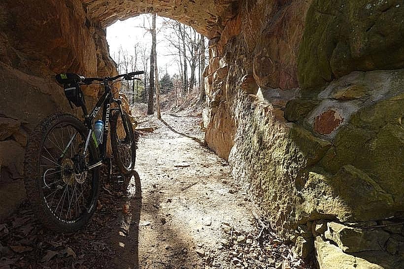
Visual Characteristics
The trails traverse mixed deciduous and coniferous forests. Elevation changes are moderate, with some sections featuring exposed sandstone outcrops. The dominant vegetation includes oak, hickory, and pine species. Trail surfaces vary from packed earth to gravel and rock.
Location & Access Logistics
Fitzgerald Mountain Trails are situated approximately 3 kilometers west of downtown Springdale. Access is primarily from the trailhead located off West Huntsville Road. Ample parking is available at the main trailhead lot. No direct public transport routes serve the trailhead; private vehicle or taxi service is recommended.
Historical & Ecological Origin
The area is part of the Ozark Plateau, a region shaped by ancient geological processes including uplift and erosion. The trails were developed and maintained by local volunteer groups and the city parks department, with initial development occurring in the late 20th century to provide recreational access to the natural landscape.
Key Highlights & Activities
Hiking is the primary activity. Specific trails include the 2.5km Ridge Loop, the 1.5km Creek Bed Trail, and the 4km Summit Trail which offers elevated viewpoints. Birdwatching is common due to the diverse avian population. Trail running is also a popular use.
Infrastructure & Amenities
Restrooms are available at the main trailhead. Limited shade is present along some trail sections, particularly in denser forest areas. Cell phone signal (4G/5G) is intermittent and generally weak within the trail network. No food vendors are located directly at the trailhead; nearest services are in Springdale.
Best Time to Visit
For optimal hiking conditions, the months of April through May and September through October are recommended due to moderate temperatures and lower humidity. Early morning hours (7:00 AM - 9:00 AM) provide the best lighting for photography and cooler temperatures. No tide considerations apply.
Facts & Legends
Local folklore suggests that the mountain was once a gathering place for indigenous tribes who used its elevated position for observation. A specific point on the Summit Trail, known locally as "Eagle's Perch," offers a panoramic view that is said to have been a significant vantage point historically.
Nearby Landmarks
- Lake Fayetteville Park (2.1km East)
- Botanical Garden of the Ozarks (3.5km Southeast)
- Shiloh Museum of Ozark History (3.8km East)
- Razorback Greenway Trail (4.2km East)