Landmark: Fredericksburg Battlefield
City: Fredericksburg
Country: USA Virginia
Continent: North America
Fredericksburg Battlefield, Fredericksburg, USA Virginia, North America
Fredericksburg Battlefield is a preserved Civil War battlefield located in Fredericksburg, Virginia, USA.
It preserves key sites and terrain associated with four major battles fought in the vicinity between 1862 and 1864.
Visual Characteristics
The battlefield encompasses approximately 500 acres of varied terrain. This includes open fields, wooded areas, and rolling hills. The Rappahannock River forms a northern boundary in some sections. Structures on the site include reconstructed earthworks, period-appropriate fences, and the historic Marye's Heights stone wall. The landscape is characterized by agricultural fields and dense deciduous forests.
Location & Access Logistics
The battlefield is situated within the city limits of Fredericksburg, Virginia. It is approximately 1 mile west of the downtown area. Access is primarily via State Route 3 (Plank Road) and State Route 208 (Courthouse Road). Ample parking is available at the Fredericksburg Battlefield Visitor Center, located at 1013 Lafayette Boulevard. Public transportation options to the visitor center are limited; local bus routes may require transfers and a significant walk. The battlefield is accessible by vehicle via internal park roads.
Historical & Ecological Origin
The site's historical significance stems from its role in the American Civil War. The Battle of Fredericksburg (December 1862) was a major Confederate victory. Subsequent engagements, including the Battle of Chancellorsville (May 1863), the Battle of the Wilderness (May 1864), and the Battle of Spotsylvania Court House (May 1864), occurred in the broader region. Ecologically, the area is part of the Atlantic coastal plain, characterized by a temperate deciduous forest ecosystem.
Key Highlights & Activities
Visitors can walk or drive the battlefield tour roads. Specific points of interest include Marye's Heights, the Sunken Road, and the Fredericksburg National Cemetery. Interpretive signage provides historical context at key locations. Ranger-led programs are offered seasonally. Hiking trails are available in designated areas. Photography is permitted throughout the park.
Infrastructure & Amenities
The Fredericksburg Battlefield Visitor Center offers restrooms, a bookstore, and exhibits. Limited shade is available along tour routes from trees. Cell phone signal (4G/5G) is generally available within the park. No food vendors are located directly on the battlefield; dining options are available in downtown Fredericksburg.
Best Time to Visit
For optimal lighting for photography, early morning or late afternoon provides the best natural light. The months of April through October offer the most pleasant weather for outdoor exploration. Spring and fall foliage provide visual interest. No specific tide requirements affect access or activities.
Facts & Legends
A notable historical oddity is the sheer number of casualties sustained during the Battle of Fredericksburg, particularly the frontal assaults against Marye's Heights. Local lore sometimes speaks of lingering echoes of battle on quiet evenings, though this is unsubstantiated.
Nearby Landmarks
- Chancellorsville Battlefield (8km West)
- Spotsylvania Court House Battlefield (16km Southwest)
- Fredericksburg & Spotsylvania National Military Park Visitor Center (1km East)
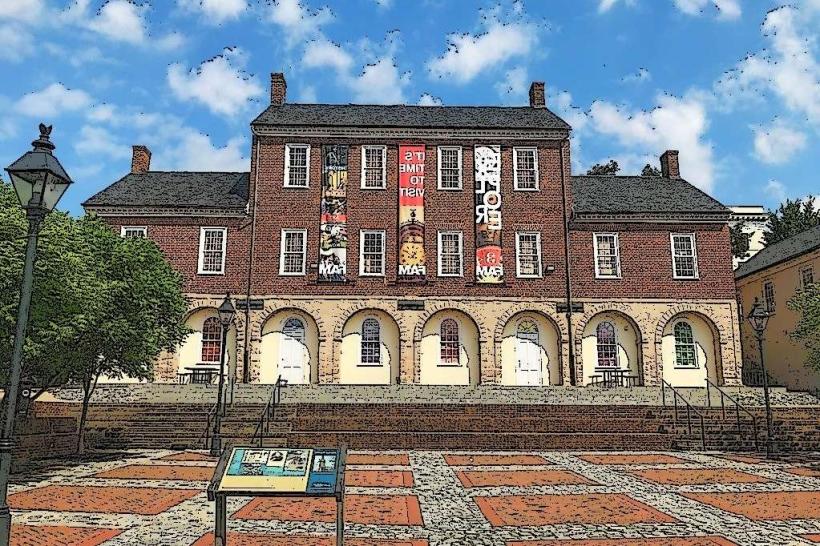
- Historic Downtown Fredericksburg (2km East)
- National Museum of the Marine Corps (35km North)