Landmark: Gaflei Hiking Trails
City: Triesenberg
Country: Liechtenstein
Continent: Europe
Gaflei Hiking Trails, Triesenberg, Liechtenstein, Europe
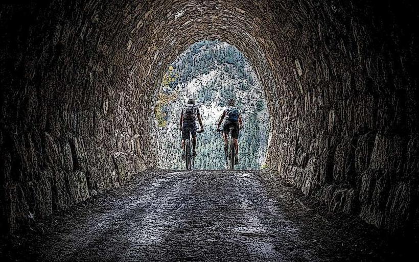
The Gaflei Hiking Trails are an extensive network of marked footpaths situated in the alpine region above Triesenberg, Liechtenstein, providing access to the Rätikon mountain range.
Visual Characteristics
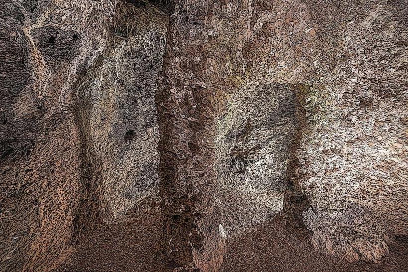
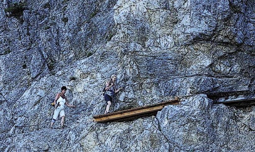
The trails traverse diverse alpine terrain, including open meadows, dense coniferous forests primarily composed of spruce and fir, and exposed rock faces. Elevations range from approximately 1,400 meters at the trailhead to over 2,000 meters at higher points. The geological features consist predominantly of limestone and dolomite formations, characteristic of the Eastern Alps. Views often encompass the Rhine Valley and surrounding peaks.Location & Access Logistics
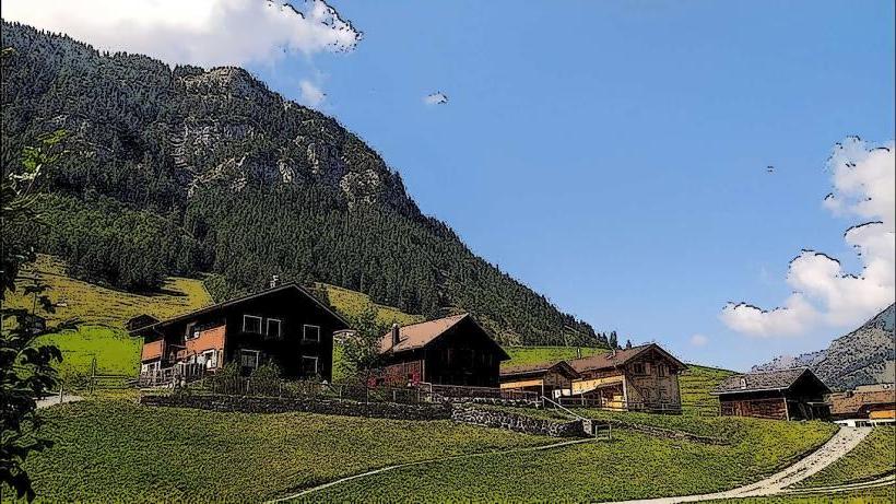
Gaflei is accessible via the Gafleistrasse, a paved mountain road originating from Triesenberg. It is located approximately 8 kilometers northeast of Triesenberg village center and 15 kilometers northeast of Vaduz. A dedicated parking area is available at the Gaflei trailhead. Public transport is provided by LIEmobil bus line 21, which serves the 'Triesenberg, Gaflei' stop, typically operating during the summer hiking season.Historical & Ecological Origin
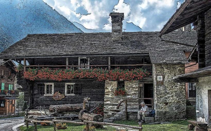
The Gaflei area has a history of alpine farming and forestry. The current network of marked hiking trails was developed to facilitate tourism and outdoor recreation, utilizing both ancient paths and newly constructed routes. Geologically, the region is part of the Rätikon nappe, a component of the Helvetic and Austroalpine systems, characterized by its Mesozoic sedimentary rock layers.Key Highlights & Activities
Hiking is the primary activity, with routes varying from easy walks to challenging alpine ascents. Notable trails include the exposed Fürstensteig and the longer Drei Schwestern trail, which leads to the iconic Three Sisters peaks. Trail running is also common. Designated viewpoints along the paths offer panoramic vistas of the surrounding mountains and the Rhine Valley.Infrastructure & Amenities
Basic restroom facilities are available near the Gaflei parking area. Shade is intermittent, provided by forest sections at lower elevations. Cell phone signal (4G/5G) is generally present but can be inconsistent on higher, more exposed trail segments. Food and beverage options are available at the nearby Berggasthaus Sücka, accessible via a connecting trail or short drive.Best Time to Visit
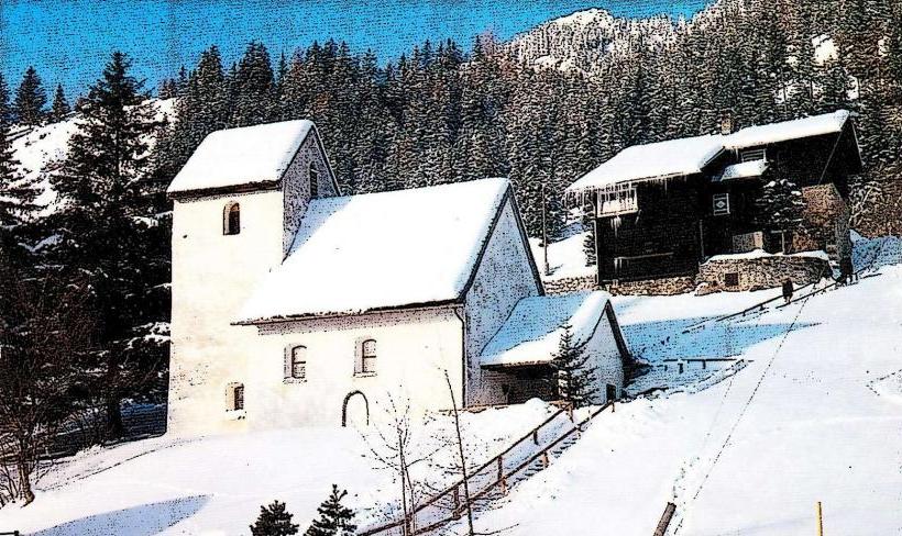
The optimal period for visiting the Gaflei Hiking Trails is from late May to early October, when trails are typically free of snow and weather conditions are most stable. Mornings generally offer clearer visibility and cooler temperatures. For photography, early morning or late afternoon light provides softer illumination on the mountain landscapes.Facts & Legends
The Fürstensteig, a renowned and challenging section of the Gaflei trail network, was originally constructed in 1898. This path is known for its narrow, exposed sections and requires sure-footedness and a lack of vertigo.Nearby Landmarks
- Alp Gaflei: 0.5 km West
- Gafleisattel: 1 km East
- Kuhgrat Peak: 2.5 km Northeast
- Berggasthaus Sücka: 3 km South
- Three Sisters (Drei Schwestern) Peaks: 4 km East