Landmark: Gitega Hilltop Viewpoints
City: Gitega
Country: Burundi
Continent: Africa
Gitega Hilltop Viewpoints, Gitega, Burundi, Africa
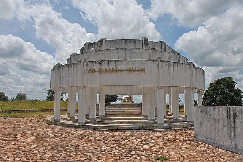
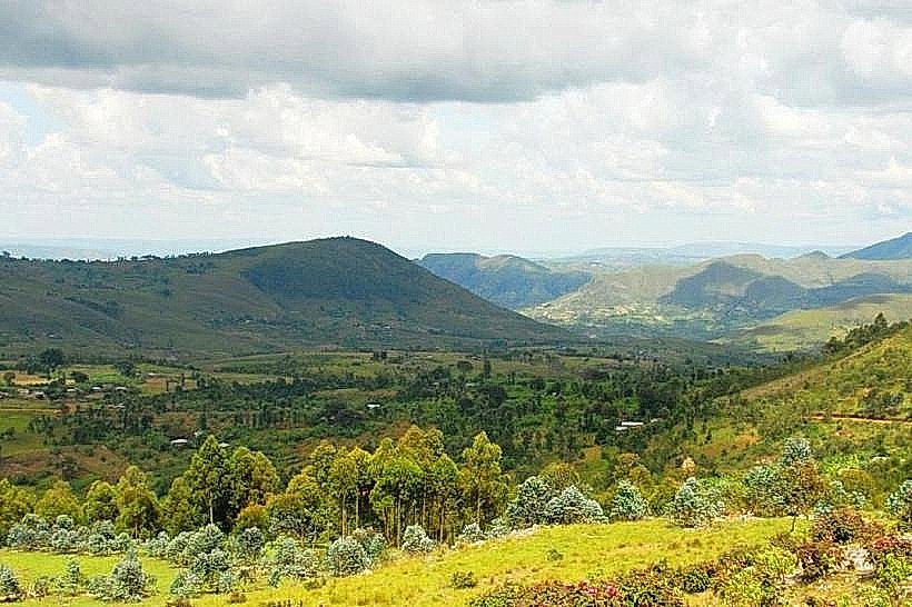
Gitega Hilltop Viewpoints are a series of elevated observation points located on the hills surrounding Gitega, Burundi's capital city.
These viewpoints offer panoramic perspectives of the city and its surrounding landscape.
Visual Characteristics
The viewpoints are natural clearings on elevated terrain, primarily characterized by grassy slopes and scattered indigenous trees. The terrain consists of laterite soil and weathered rock formations. The city of Gitega is visible below, a collection of low-rise buildings with red-tiled roofs, interspersed with green vegetation. The surrounding landscape is undulating, with rolling hills and agricultural fields.
Location & Access Logistics
Gitega Hilltop Viewpoints are situated approximately 2 to 5 kilometers east of Gitega's city center. Access is primarily via unpaved local roads, requiring a 4x4 vehicle or a motorcycle for optimal navigation, especially during the rainy season. Public transport does not directly service these specific locations; local taxis or hired vehicles are the recommended modes of transport from the city center. Parking is informal, typically on the side of the access tracks.
Historical & Ecological Origin
These elevated areas are natural geological formations, part of the East African Rift system's foothills. The landscape has been shaped by erosion over millennia. Historically, these vantage points likely served as strategic observation posts due to their commanding views of the surrounding region. The vegetation is typical of the Burundi plateau's savanna ecosystem.
Key Highlights & Activities
Observation of the city's layout and the surrounding agricultural patterns. Photography of the cityscape and landscape, particularly during sunrise and sunset. Birdwatching is possible due to the natural vegetation. Walking and light hiking on the hill slopes are feasible.
Infrastructure & Amenities
There are no formal infrastructure or amenities at the Gitega Hilltop Viewpoints. Visitors should carry their own water and food. Restroom facilities are not available. Cell phone signal (2G/3G) is generally available but can be intermittent depending on the specific viewpoint's elevation and location.
Best Time to Visit
The best time of day for photography is during the early morning (06:00-08:00) for soft light and clear views, and late afternoon (16:00-18:00) for warmer lighting. The dry seasons, from June to August and December to February, offer the most stable weather conditions with less risk of rain obscuring views.
Facts & Legends
Local folklore suggests that these hills were once used by ancient kings of Burundi to survey their territories and plan military movements. A specific viewpoint, known locally as "Icyaro cy'Abami" (Place of Kings), is said to have been a favored spot for royal contemplation.
Nearby Landmarks
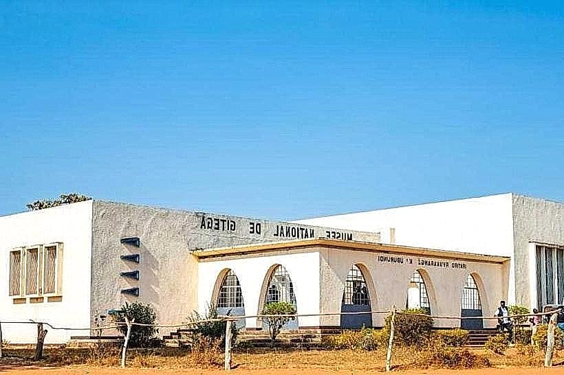
- Royal Palace Museum (2.5km West)
- Gitega National Stadium (3.0km West)
- Gitega Central Market (2.8km West)
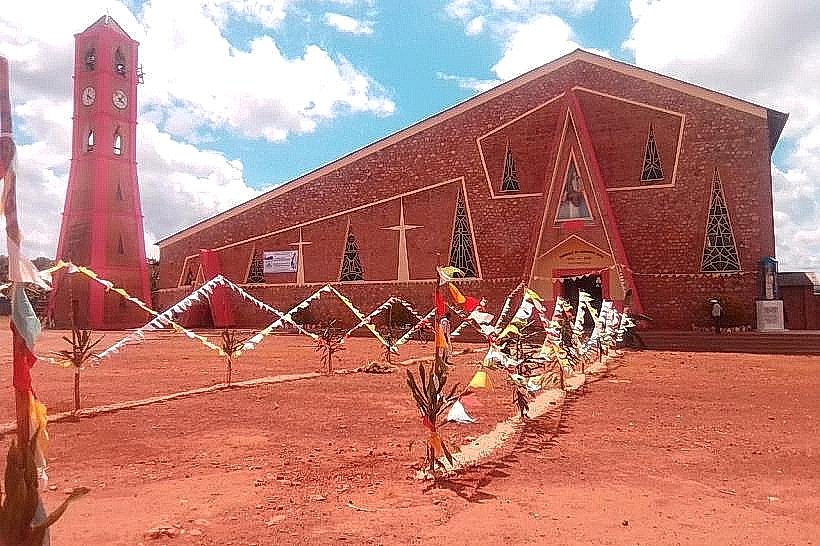
- St. Peter's Cathedral, Gitega (2.2km West)