Landmark: Gnalp Hiking Area
City: Balzers
Country: Liechtenstein
Continent: Europe
Gnalp Hiking Area, Balzers, Liechtenstein, Europe
The Gnalp Hiking Area is a designated recreational zone located on the eastern slopes above the village of Balzers, Liechtenstein. It features a network of marked trails suitable for various hiking levels within a subalpine environment.
Visual Characteristics
The area is characterized by dense coniferous and deciduous forests, interspersed with open meadows and occasional rocky outcrops. Elevations within the hiking area range from approximately 700 meters to 1200 meters above sea level, offering panoramic views of the Rhine Valley and the surrounding mountains. Trail surfaces are primarily natural earth, gravel, and compacted forest floor, with some sections featuring exposed roots or small stones.
Location & Access Logistics
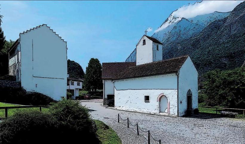
The Gnalp Hiking Area is accessible from Balzers, approximately 2 kilometers east of the village center. Primary access points include trailheads located off Gnalpstrasse, which ascends from Balzers. Limited public parking is available at designated car parks near the base of the hiking trails, such as the one close to the St. Luzi Chapel. Balzers is served by local bus lines (e.g., Bus 11, 12), with stops in the village center requiring a walk or connection to reach the specific trailheads.
Historical & Ecological Origin
The Gnalp area is part of the Rätikon mountain range, characterized by its geological composition of limestone and flysch formations. Its ecological classification is primarily subalpine forest and alpine meadow, supporting typical Central European flora and fauna. Historically, the area has been utilized for alpine farming, forestry, and as a traditional route connecting valley settlements with higher pastures.
Key Highlights & Activities
Hiking is the primary activity, with a variety of marked trails ranging from easy walks to moderate ascents. Specific routes include the loop trails around the lower slopes and longer paths connecting towards the Gaflei area. Mountain biking is permitted on designated trails. Picnicking is possible at various viewpoints and marked rest areas equipped with benches.
Infrastructure & Amenities
Basic infrastructure includes marked trails, directional signage, and information boards at key junctions. Rest benches are present at scenic viewpoints. There are no permanent restrooms or food vendors directly within the hiking area; facilities are available in Balzers village. Cell phone signal (4G/5G) is generally reliable in open areas but may be intermittent in dense forest sections or deep valleys.
Best Time to Visit
The best time to visit is from late spring (May) to early autumn (October) when trails are typically free of snow and ice. Summer months offer warmer temperatures suitable for longer excursions. Early mornings provide optimal lighting for photography of the Rhine Valley and surrounding peaks. Visiting during heavy rainfall is not recommended due to potentially slippery trail conditions.
Facts & Legends
A practical tip for visitors is to carry sufficient water, as natural springs are not consistently available or marked along all routes. The area is known among locals for its diverse mushroom species during the autumn months, though foraging requires local knowledge and adherence to regulations.
Nearby Landmarks
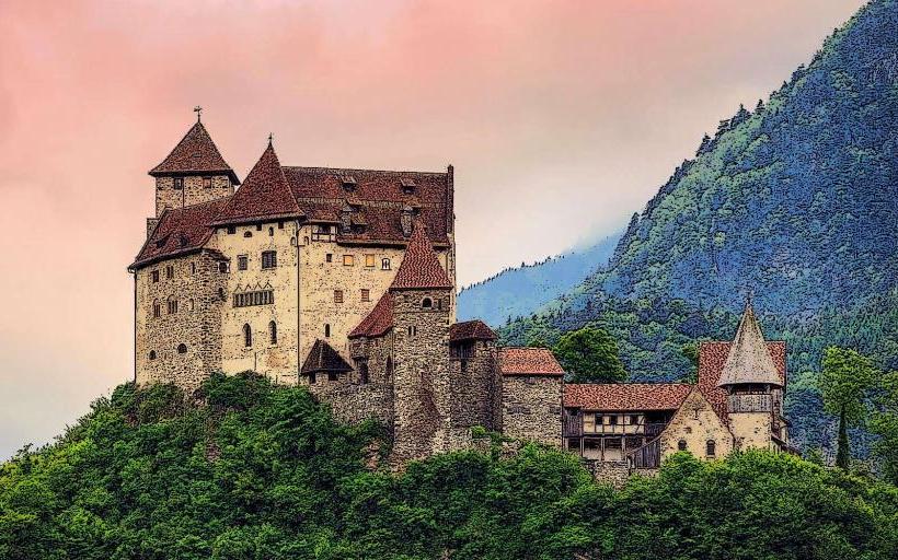
- Gutenberg Castle: 2.0km West
- St. Luzi Chapel: 0.5km West
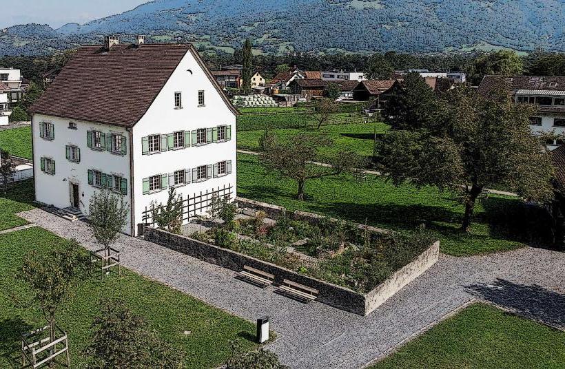
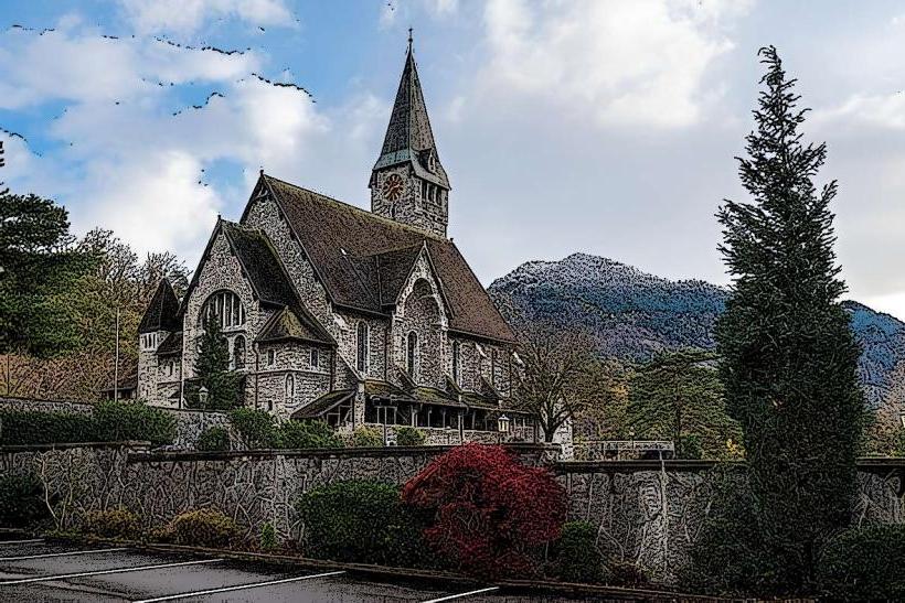
- Balzers Parish Church: 2.5km West
- Rhine River: 3.0km West