Landmark: Grande Ronde River
City: La Grande
Country: USA Oregon
Continent: North America
Grande Ronde River, La Grande, USA Oregon, North America
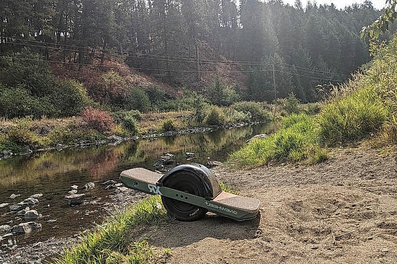
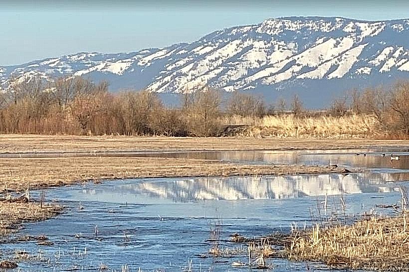
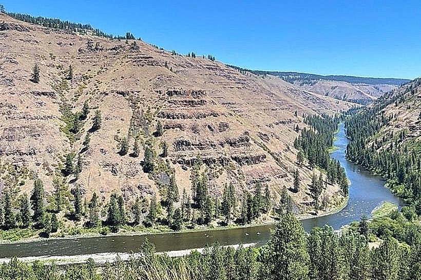
The Grande Ronde River is a 116-mile tributary of the Snake River located in northeastern Oregon. It flows through agricultural valleys and canyons.
Visual Characteristics
The river's water color varies from clear to silty brown depending on recent precipitation and sediment load. The riverbanks are characterized by riparian vegetation including cottonwood trees and willows, interspersed with gravel bars and exposed rock formations in steeper sections. The river's width ranges from approximately 50 feet in narrower canyon sections to over 100 feet in wider valley areas.
Location & Access Logistics
The Grande Ronde River is accessible from multiple points. The city of La Grande is situated adjacent to the river. State Highway 82 follows the river for a significant portion of its course. Access points include designated boat launches and pull-offs along Highway 82 and various county roads. Parking is available at established boat ramps and some roadside turnouts. Public transport options directly to river access points are limited; travel typically requires a private vehicle.
Historical & Ecological Origin
The Grande Ronde River basin is part of the Columbia River watershed. Its geological formation is primarily the result of fluvial erosion over millennia, carving through basalt flows and sedimentary rock of the Columbia Plateau. Historically, the river was a vital resource for indigenous peoples and later for early settlers involved in agriculture and logging.
Key Highlights & Activities
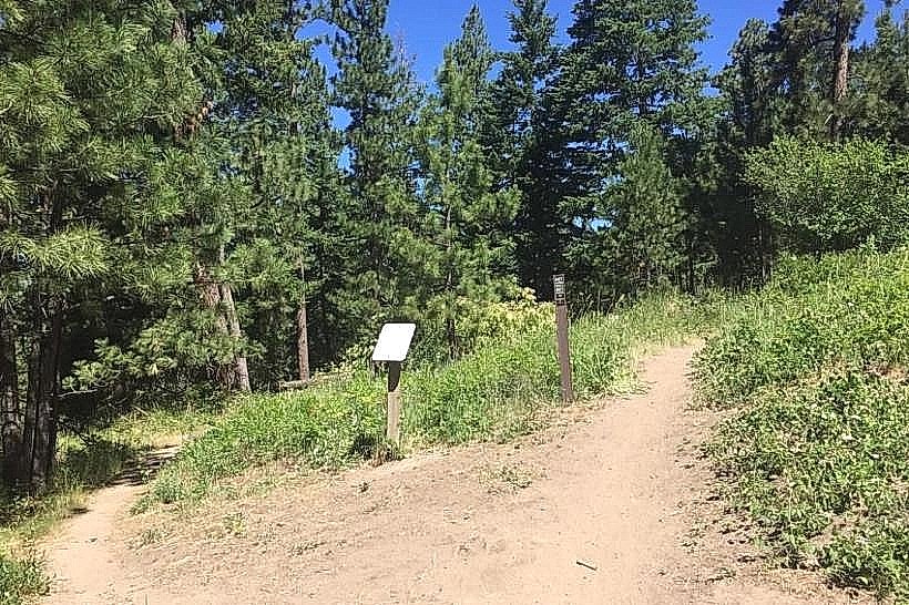
Activities include fishing for trout and steelhead, particularly during the fall and spring seasons. Kayaking and rafting are possible, with specific sections offering moderate whitewater challenges. Hiking trails are present in some areas along the river, such as near the Mount Emily Recreation Area. Birdwatching is also a common activity due to the riparian habitat.
Infrastructure & Amenities
Basic amenities are available at developed access points, which may include boat ramps and limited parking. Restrooms are not consistently available at all access points. Shade is provided by natural vegetation along the riverbanks. Cell phone signal strength varies significantly depending on location, with better reception in valley areas and near towns.
Best Time to Visit
For fishing, the fall (September-November) and spring (March-May) offer the best opportunities. For recreational boating, water levels are generally suitable from late spring through early fall. Mid-day offers the most direct sunlight on the water, while early morning and late afternoon provide softer light for photography.
Facts & Legends
The name "Grande Ronde" is French for "Great Round," likely referring to the wide, circular valley near La Grande. A notable historical event was the construction of the Oregon Trail, which crossed the Grande Ronde Valley, with emigrants often using the river for water and resources.
Nearby Landmarks
- Mount Emily Recreation Area (2.5km Northwest)
- Oregon Trail Interpretive Center (4.0km Southwest)
- La Grande Municipal Airport (3.0km West)
- Wallowa-Whitman National Forest (Access points vary, nearest trailhead 15km East)
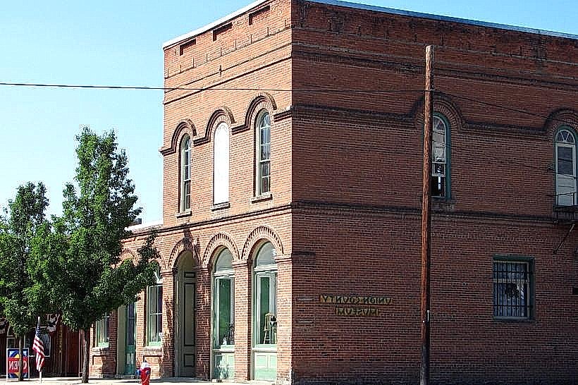
- Union Pacific Railroad Depot, La Grande (1.5km West)