Information
Landmark: Gulf Islands National SeashoreCity: Pensacola
Country: USA Florida
Continent: North America
Gulf Islands National Seashore, Pensacola, USA Florida, North America
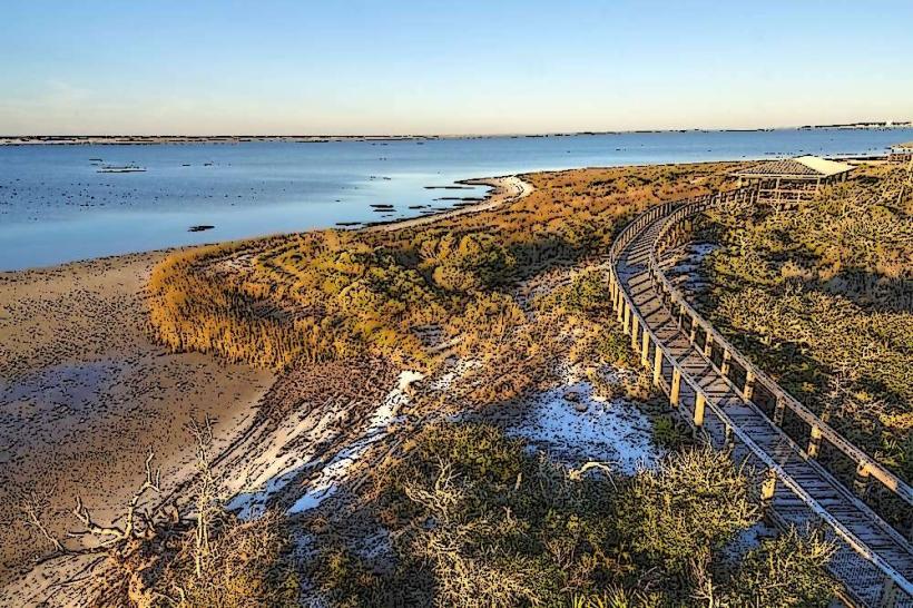
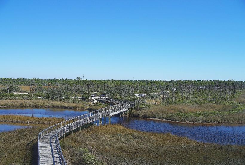
Gulf Islands National Seashore is a protected coastal area located in Northwest Florida and Southeast Mississippi, encompassing barrier islands and mainland areas.
This national seashore preserves natural beaches, historic forts, and diverse coastal ecosystems.
Visual Characteristics
The Florida portion of the seashore features white sand beaches with fine grain composition, bordering clear, turquoise waters. Dune systems are vegetated with sea oats and other salt-tolerant plants. Historic brick forts, constructed from red clay bricks, exhibit weathered surfaces due to exposure to the marine environment.
Location & Access Logistics
Access to the Florida units of Gulf Islands National Seashore is primarily via State Road 399 (also known as Gulf Islands National Seashore Road) and State Road 292. The main entrance for the Santa Rosa Island unit is approximately 10 miles east of downtown Pensacola, Florida. Parking is available at designated lots along the seashore, with fees required. Public transportation options directly to the seashore are limited; visitors typically require private vehicles.
Historical & Ecological Origin
The barrier islands of Gulf Islands National Seashore are geologically formed from sand deposited by ocean currents over millennia. The historic forts, such as Fort Pickens, were constructed by the U.S. Army Corps of Engineers starting in 1829, with construction continuing for several decades. Their original purpose was coastal defense.
Key Highlights & Activities
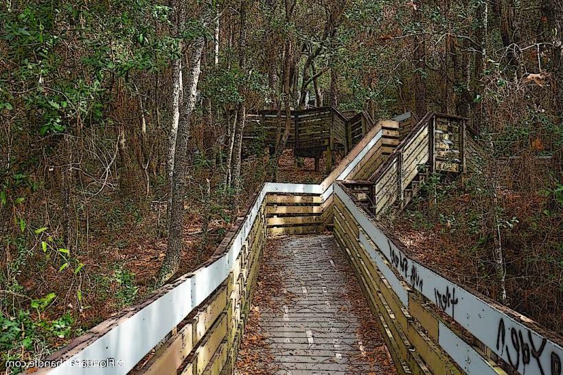
Activities include swimming, sunbathing, fishing from shore or piers, and kayaking. Hiking is possible on designated trails, such as the Fort Pickens Trail. Birdwatching is a common activity due to the diverse avian populations. Exploration of historic Fort Pickens is a primary draw.
Infrastructure & Amenities
Restrooms are available at designated visitor centers and picnic areas. Shade structures are present in some picnic areas. Cell phone signal (4G/5G) is generally available but can be intermittent on more remote sections of the islands. Food vendors are not typically found directly within the seashore; visitors should bring their own provisions or plan to dine in nearby Pensacola.
Best Time to Visit
The best time for beach activities is from April to October, with water temperatures suitable for swimming. For photography, early morning and late afternoon offer optimal lighting conditions. High tide is generally preferred for beach access and swimming. Spring (March-May) and Fall (September-November) offer milder temperatures and fewer crowds.
Facts & Legends
Fort Pickens was never captured by enemy forces during its operational history. A unique tip for visitors is to check the tide charts before visiting, as some beach access points can be affected by high water levels.
Nearby Landmarks
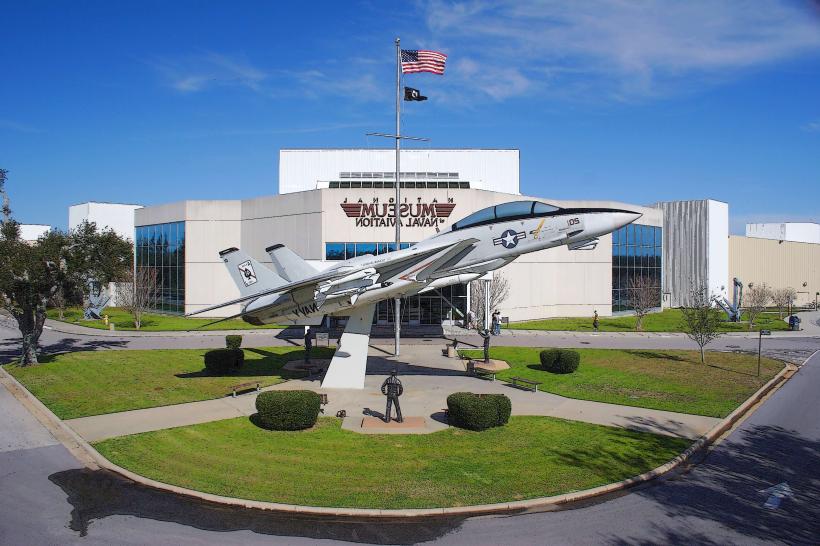
- Naval Air Station Pensacola (5km West)
- Pensacola Lighthouse & Maritime Museum (6km West)
- Fort Barrancas (7km West)
- Pensacola Beach Pier (8km West)
- Big Lagoon State Park (12km Southwest)