Landmark: Historic Centre of Olinda
City: Olinda
Country: Brazil
Continent: South America
Historic Centre of Olinda, Olinda, Brazil, South America
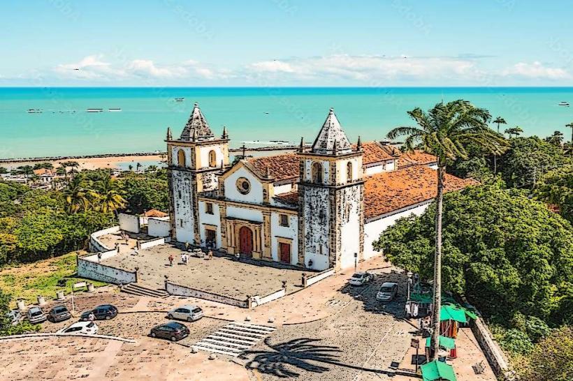
The Historic Centre of Olinda is a preserved colonial urban area situated on a steep hillside overlooking the Atlantic Ocean in Olinda, Brazil.
Visual Characteristics
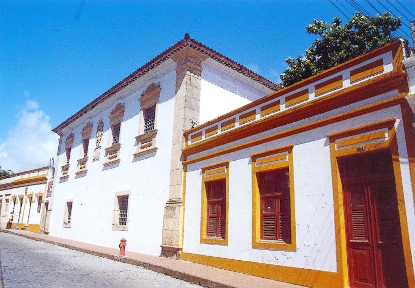
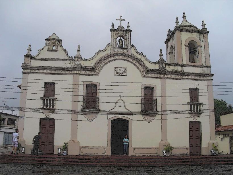
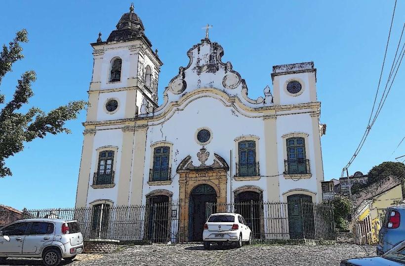
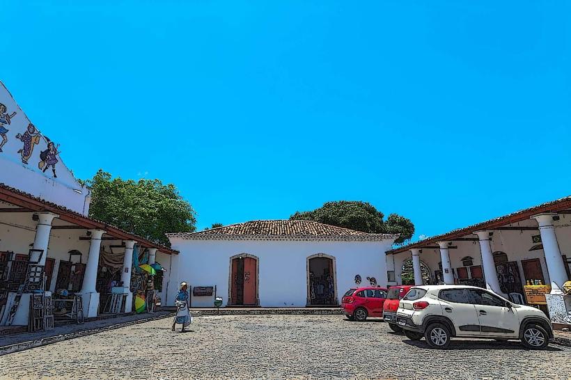
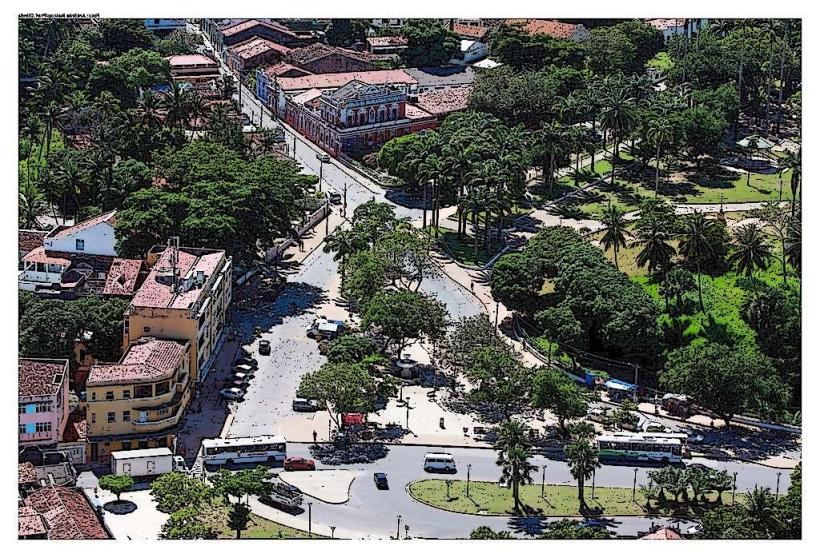
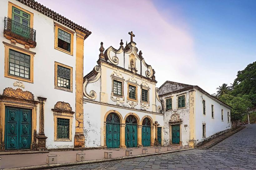
The architecture features brightly colored colonial-era buildings constructed primarily from stone and stucco, with red tile roofs. Streets are narrow and cobblestoned, winding up the hillside. The area is characterized by numerous churches, convents, and public squares. Vegetation is dense in parts, with tropical trees and flowering plants integrated into the urban landscape.
Location & Access Logistics
The Historic Centre is located approximately 7 kilometers northeast of Recife's city center. Access is via PE-025 highway, which connects to the BR-101. Parking is limited and often restricted to specific zones, with paid parking lots available near the main squares. Public transport options include numerous bus lines from Recife, such as lines 1942 (Circular Brooklin) and 1967 (Circular Iputinga), which stop at the base of the hill. From the bus stops, walking or local taxis are required to ascend to the historic sites.
Historical & Ecological Origin
Founded in 1535 by Duarte Coelho, the first hereditary captain of Pernambuco, Olinda was established as a strategic administrative and military center. Its original purpose was to serve as the capital of the captaincy and a port for sugar trade. The city's layout and architecture reflect Portuguese colonial urban planning principles. The hillside location provided defensive advantages and access to the sea.
Key Highlights & Activities
Exploration of the numerous churches, including the Sé Cathedral and the Church of São Bento. Walking tours of the historic streets and observation points. Visiting artisan workshops and galleries. Attending cultural events, particularly during Carnival.
Infrastructure & Amenities
Restrooms are available in some public buildings and restaurants. Shade is provided by trees and building overhangs along some streets. Cell phone signal (4G/5G) is generally available throughout the historic center. Food vendors and restaurants are present in the main squares and along major routes within the center.
Best Time to Visit
The best time of day for photography is generally late morning or late afternoon to utilize softer lighting. The dry season, from September to March, offers more consistent weather. High tide is not a significant factor for visiting the historic center itself, but can affect coastal views.
Facts & Legends
A local legend states that the name "Olinda" originated from a traveler's exclamation, "Oh, what a beautiful place to see!" during its founding. The city was sacked and burned by the Dutch in 1630, leading to periods of decline before its eventual preservation.
Nearby Landmarks
- Recife Antigo (Old Recife) - 7km Southwest
- Instituto Ricardo Brennand - 10km West
- Boa Viagem Beach - 8km Southwest
- Fortaleza de São João Batista do Brum - 7.5km Southwest
- Museu do Estado de Pernambuco - 6km Southwest