Landmark: ile de Re
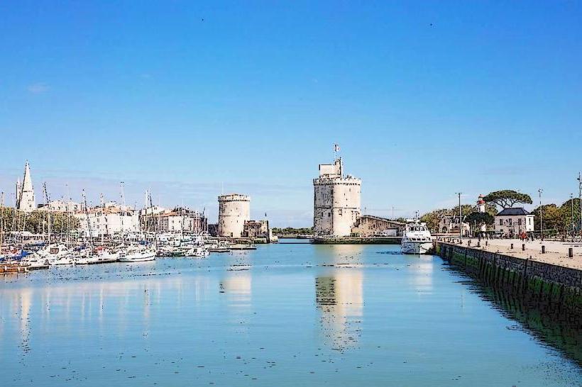
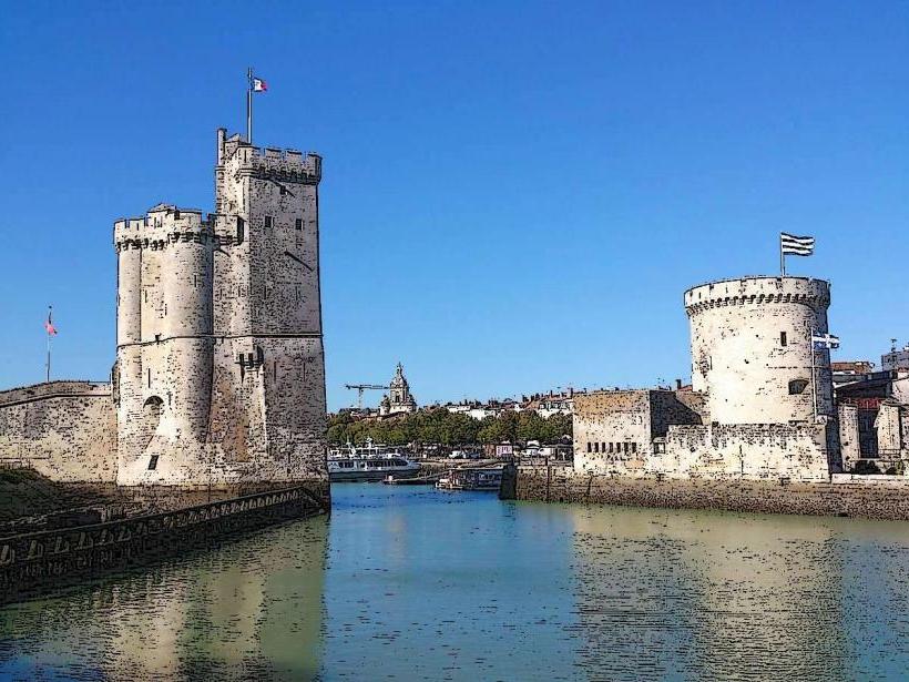
City: La Rochelle
Country: France
Continent: Europe
ile de Re, La Rochelle, France, Europe
The Île de Ré is a 30-kilometer-long island situated in the Atlantic Ocean off the coast of La Rochelle in the Charente-Maritime department. It is connected to the mainland via a 2.9-kilometer bridge and is known for its salt marshes, vineyards, and white-washed villages.
Visual Characteristics
The island is characterized by flat terrain with a maximum elevation of 19 meters. Architecture is strictly regulated, featuring single-story houses with white facades, green shutters (Volets Verts), and terracotta tiled roofs. The landscape consists of sandy dunes, pine forests, and extensive salt pans (marais salants), with the Atlantic water displaying varying shades of grey-blue depending on the silty seabed.
Location & Access Logistics
The island is accessed from La Rochelle via the Pont de l'Île de Ré (toll bridge). It is 10 kilometers from La Rochelle - Île de Ré Airport (LRH). The "Ré Rézo" bus network (Line 3/3E) connects the La Rochelle train station to all ten villages on the island. Vehicle access is possible, but bicycle travel is the primary logistical method, supported by over 110 kilometers of dedicated cycle paths.
Historical & Ecological Origin
The island was originally three separate islets that were joined through natural silting and human land reclamation. It served as a strategic defensive site, most notably with the construction of the Citadel of Saint-Martin-de-Ré in 1681 by the military architect Vauban. Ecologically, the island's northern end is a protected nature reserve, the Lilleau des Niges, which serves as a critical stopover for migratory birds.
Key Highlights & Activities
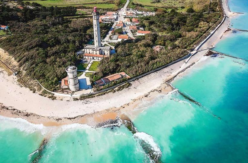
Cycling is the most prominent activity, with rentals available in every village. Visitors can climb the 257 steps of the Phare des Baleines (Lighthouse of the Whales) at the western tip. Other activities include harvesting sea salt at the Écomusée du Marais Salant, surfing at Le Lizay, and visiting the daily outdoor food markets in Le Bois-Plage-en-Ré or La Flotte.
Infrastructure & Amenities
Restrooms and water stations are located at major beach entry points and within each village center. 5G and 4G cellular signals are stable throughout the island. Food vendors, bakeries, and restaurants are concentrated in the harbor areas of Saint-Martin-de-Ré and La Flotte. Shaded areas are primarily found in the pine forests of Le Bois-Plage and Sainte-Marie-de-Ré.
Best Time to Visit
The best time for photography is at low tide in the salt marshes to capture reflections, or at sunset at the Phare des Baleines. June and September provide optimal weather for cycling while avoiding the extreme tourist density of July and August. Tidal charts must be consulted for swimming, as the water recedes several hundred meters on the northern coast.
Facts & Legends
The island is famous for its "donkeys in trousers" (Anes en culotte); traditionally, donkeys working in the salt marshes wore checkered trousers to protect their legs from mosquito bites and sharp salt crystals. A verified tip for visitors is that the bridge toll varies significantly between summer (high season) and winter (low season).
Nearby Landmarks
Phare des Baleines: 0.1km West (at the island's tip)
Abbaye des Châteliers: 1.5km East of La Flotte
Saint-Martin-de-Ré Citadel: 0.2km North of Saint-Martin port
Réserve Naturelle Lilleau des Niges: 0.5km North of Les Portes-en-Ré
Plage de la Conche des Baleines: 0.3km West