Landmark: Iracoubo River
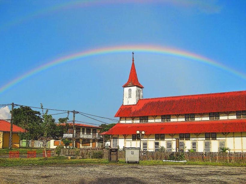
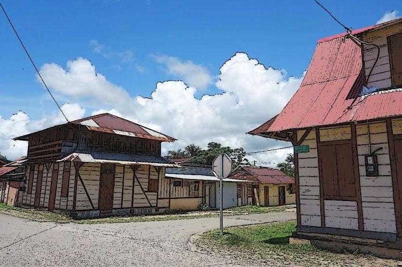
City: Iracoubo
Country: French Guiana
Continent: South America
Iracoubo River, Iracoubo, French Guiana, South America
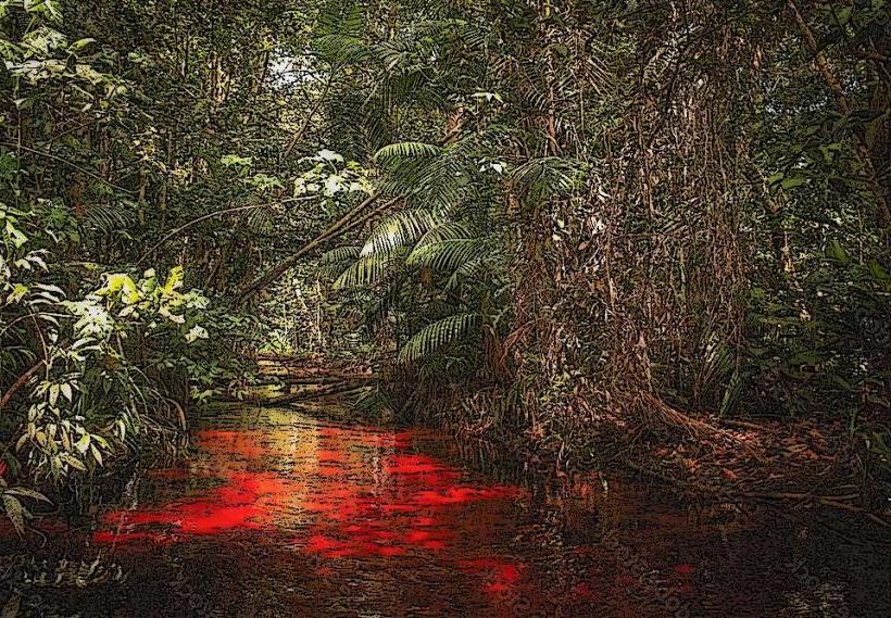
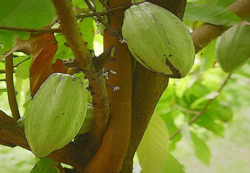
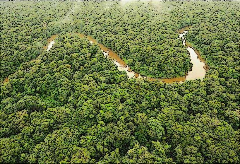
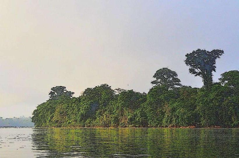
The Iracoubo River is a waterway located in the commune of Iracoubo, French Guiana. It flows through a region characterized by dense rainforest and coastal plains.
Visual Characteristics
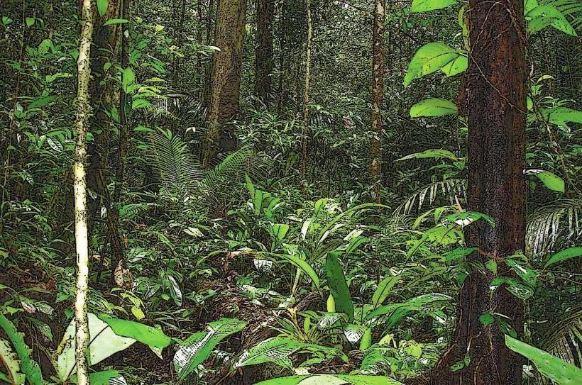
The river's water color varies from dark brown to reddish-brown due to tannins leached from decaying vegetation. The banks are lined with dense tropical rainforest, featuring a high canopy of trees, including various palm species and hardwoods. The river width fluctuates, averaging approximately 50 to 100 meters in its lower reaches. Sediment deposits are visible along the shallower sections.
Location & Access Logistics
The Iracoubo River is accessible via the RN1 (Route Nationale 1) highway, which runs parallel to the coast. The town of Iracoubo is situated on the river's western bank. From Cayenne, the capital, it is approximately 100 kilometers west via the RN1. Parking is available in the town of Iracoubo. Public transport options include intercity buses that service the RN1 route, with stops in Iracoubo.
Historical & Ecological Origin
The Iracoubo River is a natural waterway formed by the drainage of the Guiana Shield's interior. Its ecological origin is tied to the Amazonian rainforest biome, characterized by high rainfall and extensive river systems. Historically, the river served as a transportation route for indigenous populations and later for colonial exploitation of resources.
Key Highlights & Activities
Boat tours are available for navigating the river and observing the surrounding rainforest. Birdwatching is a primary activity, with opportunities to spot species such as macaws, toucans, and kingfishers. Fishing is permitted in designated areas. Kayaking and canoeing can be undertaken in calmer sections of the river.
Infrastructure & Amenities
Basic amenities are available in the town of Iracoubo, including small shops and restaurants. Restrooms are generally found at these establishments. Cell phone signal (4G) is present in the town but may be intermittent along the river. Shade is provided by the dense forest canopy along the riverbanks.
Best Time to Visit
The dry season, from July to December, offers more predictable weather conditions for river excursions. The wet season, from January to June, can lead to higher water levels, potentially impacting accessibility. Early morning and late afternoon provide optimal lighting for wildlife observation.
Facts & Legends
Local folklore speaks of river spirits that protect the waterway. A historical fact is that Iracoubo was a penal colony site during the French colonial era, with remnants of its past sometimes visible along the riverbanks.
Nearby Landmarks
- Parc Naturel Régional de Guyane (approx. 20km South-West)
- Awala-Yalimapo Amerindian Village (approx. 30km North-West)
- Kourou Space Centre (approx. 60km East)
- Îles du Salut (approx. 70km East, accessible by boat from Kourou)