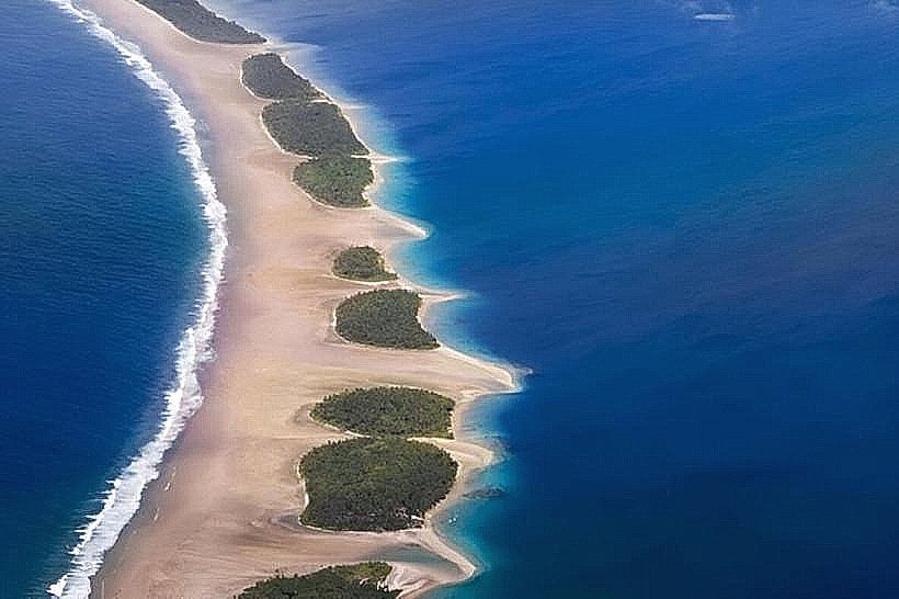
Landmark: Jaluit Lagoon
City: Jaluit Atoll
Country: Marshall Islands
Continent: Australia
Jaluit Lagoon, Jaluit Atoll, Marshall Islands, Australia
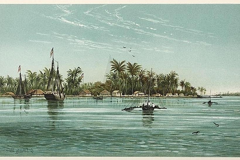
Jaluit Lagoon is a large, shallow body of water located within the Jaluit Atoll in the Marshall Islands.
This atoll is composed of approximately 91 islets encircling a central lagoon.
Visual Characteristics
The lagoon's water exhibits varying shades of turquoise and deep blue, influenced by depth and seabed composition. The islets are characterized by coral sand beaches, dense coconut palm vegetation, and low-lying terrain. The lagoon itself is shallow, with extensive coral reef formations visible in clearer conditions.
Location & Access Logistics
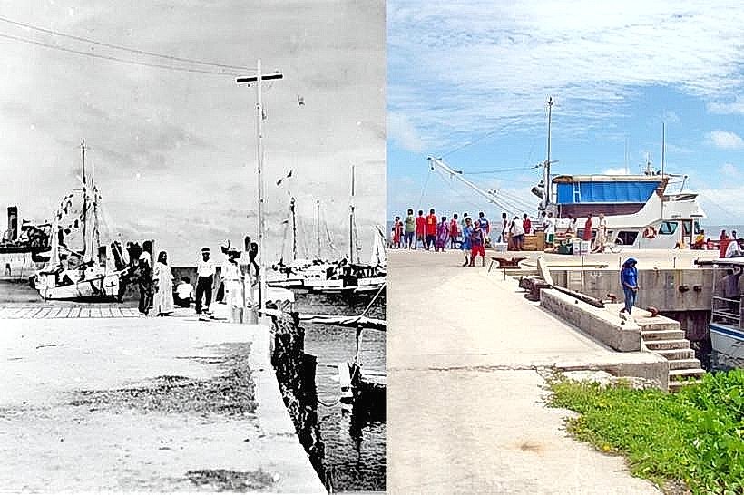
Jaluit Atoll is situated in the Ralik Chain of the Marshall Islands. Access is primarily via air to Jaluit Airport (UIT), which receives infrequent flights from Majuro. From the airport, local boat transfers are required to reach specific islets or points within the lagoon. There are no public roads connecting the islets. Parking is available at the airport and at local docks on the main islets.
Historical & Ecological Origin
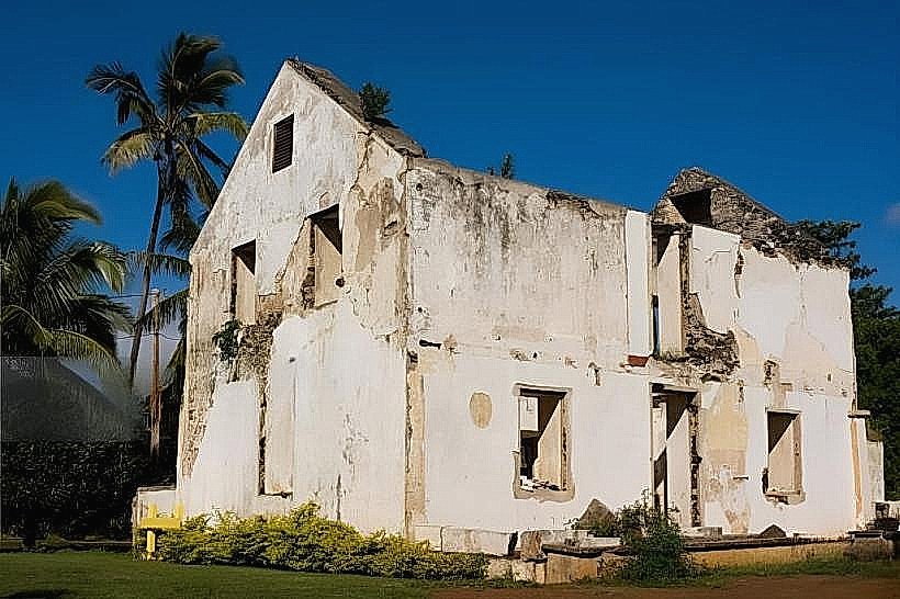
Jaluit Atoll is a classic example of a coral atoll, formed by the gradual subsidence of a volcanic island, with coral reefs growing upwards to form the ring structure. Historically, Jaluit served as the administrative center for German and later Japanese colonial rule in the Marshall Islands. During World War II, it was a significant Japanese naval base.
Key Highlights & Activities
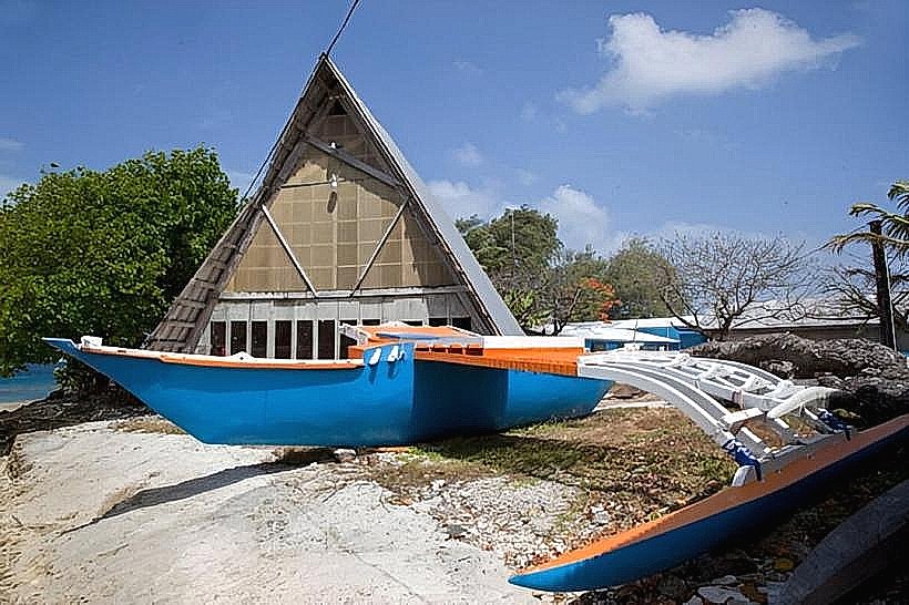
Snorkeling and diving are possible in designated reef areas within the lagoon, particularly around the passes. Kayaking between islets is feasible during calm conditions. Birdwatching is a notable activity due to the presence of various seabird species. Exploring the WWII remnants, such as shipwrecks and coastal defenses, is also a focus for some visitors.
Infrastructure & Amenities
Basic amenities are available on the main inhabited islets, including limited guesthouses and small stores. Restrooms are generally found at these accommodations. Shade is provided by natural vegetation. Cell phone signal (2G/3G) is intermittent and dependent on the specific islet and provider. Food vendors are scarce; visitors should plan to bring supplies.
Best Time to Visit
The dry season, from December to April, offers the most favorable weather conditions with lower rainfall and calmer seas. The best time of day for underwater visibility is typically mid-morning to early afternoon when sunlight penetration is optimal. High tide is generally preferred for navigating shallower reef areas.
Facts & Legends
Jaluit Atoll was the site of significant naval activity during World War II, with numerous Japanese vessels sunk in and around the lagoon. A specific point of interest is the wreck of the Japanese freighter "Rio de Janeiro Maru," which lies in shallow water and is accessible for snorkeling.
Nearby Landmarks
- Majuro Atoll (150km Northeast)
- Enewetak Atoll (300km Northwest)
- Bikini Atoll (350km Northwest)