Landmark: Jebel Zagora
City: Zagora
Country: Morocco
Continent: Africa
Jebel Zagora, Zagora, Morocco, Africa
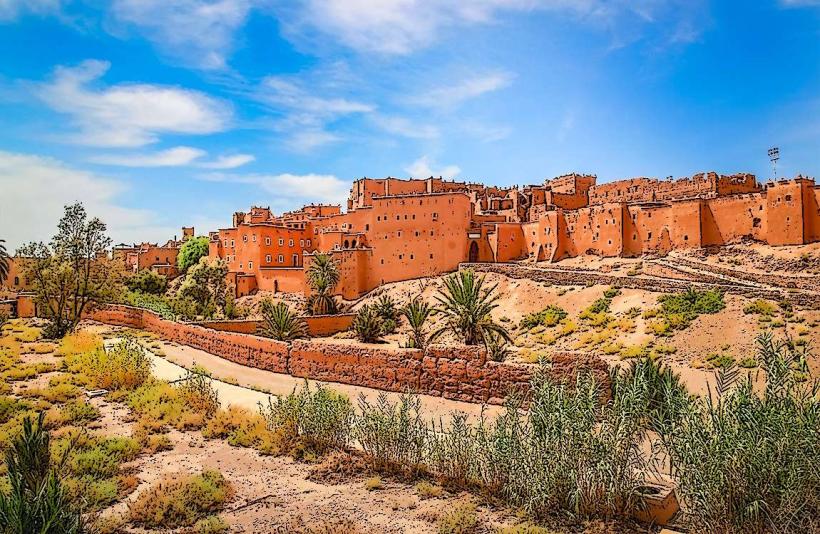
Jebel Zagora is a prominent mountain located directly south of the city of Zagora in the Draa Valley, Morocco.
Visual Characteristics
The mountain is composed of sedimentary rock, primarily sandstone and limestone, exhibiting shades of ochre, brown, and grey. Its slopes are arid and sparsely vegetated, characterized by scrub brush and hardy desert flora. The summit is relatively flat, offering panoramic views of the surrounding valley and the city below.
Location & Access Logistics
Jebel Zagora is situated at the southern edge of Zagora. Access is via a dirt track that branches off from the N9 national road, approximately 1.5 km south of the city center. The track is passable by 4x4 vehicles and, in dry conditions, by standard vehicles with higher clearance. Parking is available at the base of the mountain where the track begins. No public transport directly serves the mountain; visitors typically use private vehicles or taxis from Zagora.
Historical & Ecological Origin
The geological formation of Jebel Zagora is part of the Anti-Atlas mountain range, formed by tectonic uplift and erosion over millions of years. The sedimentary layers indicate ancient marine environments. Historically, the mountain has served as a natural defensive point and a vantage point for observing the valley.
Key Highlights & Activities
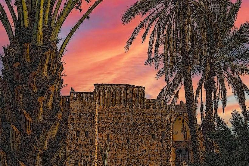
Hiking to the summit is the primary activity. The ascent takes approximately 1.5 to 2 hours. The summit offers a viewpoint for observing the Draa Valley, the city of Zagora, and the palm groves. The ruins of an ancient fortified village (ksar) are present on the western slope, accessible via a separate, steeper trail.
Infrastructure & Amenities
There are no facilities on Jebel Zagora. Restrooms, shade, and food vendors are located in the city of Zagora. Cell phone signal (4G) is generally available at the base of the mountain and intermittently on the higher slopes.
Best Time to Visit
The best time for hiking is during the cooler months, from October to April. Early morning or late afternoon is recommended to avoid the midday sun. Temperatures can exceed 40°C (104°F) during summer months. No tide considerations apply.
Facts & Legends
Local tradition suggests that the ruins on the western slope are remnants of a settlement dating back to the 11th century, possibly inhabited by Berber tribes. A specific tip for visitors is to look for fossilized marine shells embedded in the rock formations, evidence of the area's ancient past.
Nearby Landmarks
- Ksar of Tissergate (4.5km Southwest)
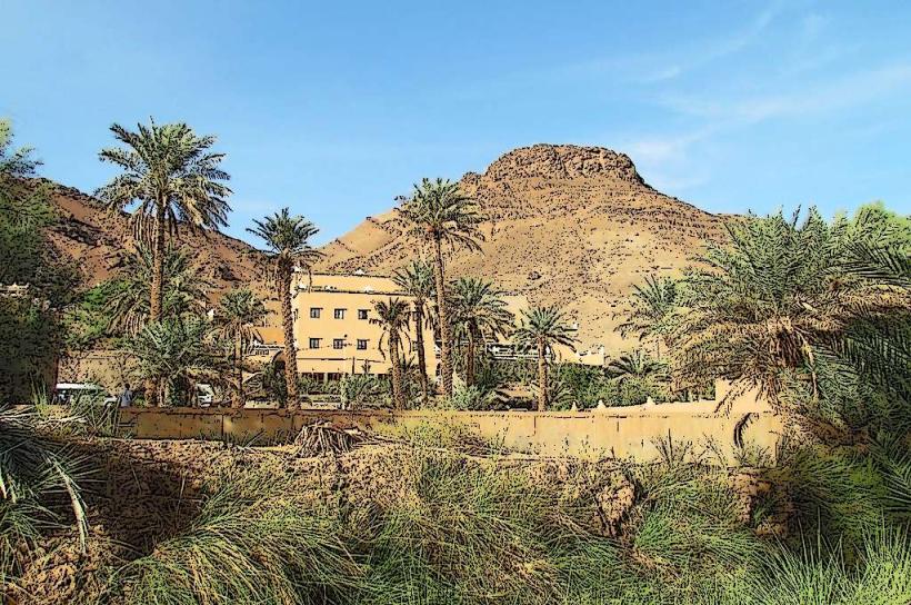
- Draa Valley Palm Groves (1km North)
- Zagora City Center (1.5km North)
- Musée des Arts Berberes (2km North)