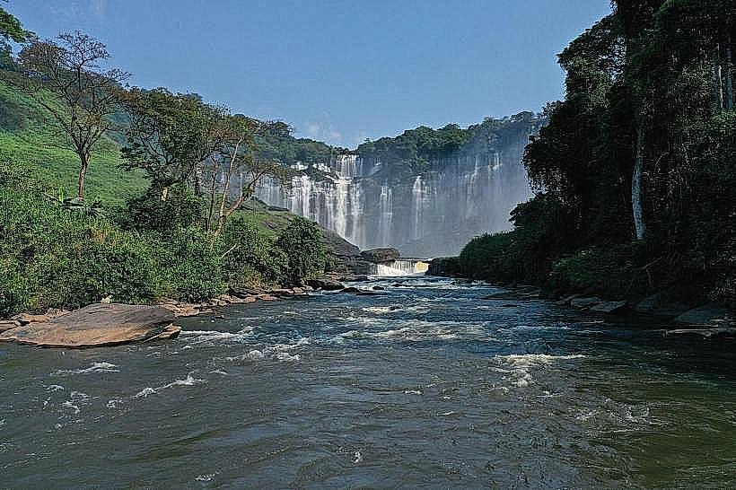
Landmark: Kalandula Falls
City: Malanje
Country: Angola
Continent: Africa
Kalandula Falls, Malanje, Angola, Africa
Kalandula Falls is a waterfall located in the Malanje Province of Angola. It is one of the largest waterfalls in Africa by volume.
Visual Characteristics
The falls consist of a series of cascades dropping approximately 105 meters (344 feet) over a wide, horseshoe-shaped cliff. The water plunges into a deep pool below, surrounded by dense vegetation. The rock face is primarily composed of sandstone.
Location & Access Logistics
Kalandula Falls is situated approximately 90 kilometers (56 miles) northwest of the city of Malanje. Access is via the National Road EN140, which is paved for a significant portion of the route. From the town of Kalandula, a dirt road leads to the falls. Parking is available at designated areas near the falls. Public transport directly to the falls is limited; travelers typically arrange private transport or join organized tours from Malanje.
Historical & Ecological Origin
The falls are formed by the Lucala River. The geological formation is a result of erosion over millennia, carving through the sandstone bedrock of the Angolan plateau. The surrounding area is characterized by tropical savanna vegetation.
Key Highlights & Activities
Observation points are situated at the top of the falls, offering views of the cascades. Hiking trails are present around the rim of the falls, providing different vantage points. Swimming is not recommended due to strong currents and the depth of the pool. Photography is a primary activity.
Infrastructure & Amenities
Basic facilities, including restrooms, are available near the main viewing area. Shade is provided by natural tree cover in some sections. Cell phone signal can be intermittent. Food vendors are sometimes present, particularly during peak visitor times, offering local snacks and drinks.
Best Time to Visit
The best time to visit is during the rainy season, from October to April, when the river flow is at its highest, resulting in a more powerful display. The late afternoon offers favorable lighting conditions for photography. The dry season (May to September) sees a reduced water flow.
Facts & Legends
Local folklore suggests that the falls were named after a legendary queen who used the waters for healing. A specific tip for visitors is to wear sturdy footwear, as the trails can be uneven and slippery, especially after rainfall.
Nearby Landmarks
- Malanje City Center (90km Southeast)
- Pungo Andongo Fort (75km Southwest)
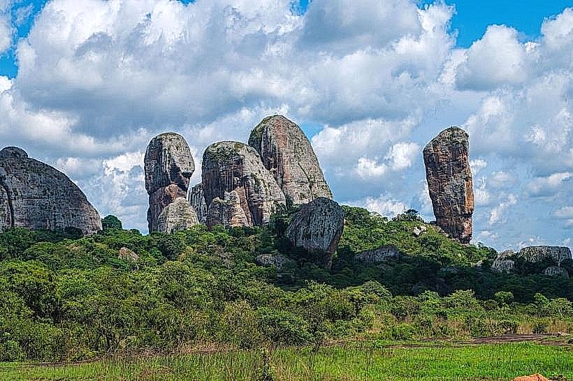
- Pedra do Gato (Cat Rock) (85km Southwest)