Landmark: Keyhole State Park
City: Newcastle
Country: USA Wyoming
Continent: North America
Keyhole State Park, Newcastle, USA Wyoming, North America
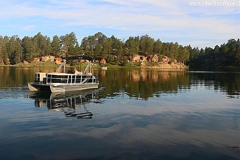
Keyhole State Park is a public recreation area located on the eastern shore of Keyhole Reservoir in Crook County, Wyoming.
Visual Characteristics
The park features a semi-arid landscape characterized by rolling hills and open plains. The dominant geological formations are sandstone and shale, exhibiting varied erosion patterns. Vegetation consists primarily of sagebrush, grasses, and scattered juniper trees. The reservoir itself presents a large body of water with a shoreline that varies in elevation depending on water levels.
Location & Access Logistics
Keyhole State Park is situated approximately 10 miles north of Moorcroft, Wyoming, via State Highway 116. Access to the park is directly from Highway 116. Parking is available at designated lots throughout the park, including near campgrounds, picnic areas, and boat ramps. No public transport services operate directly to the park.
Historical & Ecological Origin
The park's primary feature, Keyhole Reservoir, was created by the construction of the Keyhole Dam on the Belle Fourche River. The dam was completed in 1952. The area's geology is part of the Great Plains physiographic province, with formations dating back to the Cretaceous period. The ecological classification is mixed-grass prairie.
Key Highlights & Activities
Activities include boating, fishing for walleye, northern pike, and crappie, and camping. Hiking trails are available, offering views of the reservoir and surrounding terrain. Birdwatching is also a common activity due to the diverse avian population.
Infrastructure & Amenities
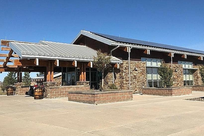
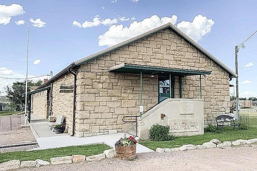
The park provides campsites with electrical hookups and primitive sites. Restrooms with showers are available in developed campground areas. Picnic tables and shelters are located throughout the park. Cell phone signal is intermittent and generally weak within the park boundaries. Food vendors are not present within the park; visitors should bring their own supplies or utilize services in nearby Moorcroft.
Best Time to Visit
The best months for visiting are May through September, offering warmer temperatures suitable for outdoor activities. For photography, early morning and late afternoon provide optimal lighting conditions. Water levels in the reservoir can fluctuate, impacting shoreline access and boating conditions; checking current reservoir levels is advisable.
Facts & Legends
A notable geological feature within the park is a natural rock arch, which gives the reservoir its name. Local lore sometimes refers to the area as a former buffalo hunting ground for Native American tribes, though specific archaeological evidence within the park is limited.
Nearby Landmarks
- Devils Tower National Monument (45km West)
- Bear Lodge Mountains (40km West)
- Moorcroft Museum (10km South)
- Little Missouri River (30km East)