Landmark: Laccadive Islands
City: Male
Country: Maldives
Continent: Asia
Laccadive Islands, Male, Maldives, Asia
The Laccadive Islands are an archipelago located in the Arabian Sea, west of the Malabar Coast of India. This island chain is part of the Union Territory of Lakshadweep, India.
Visual Characteristics
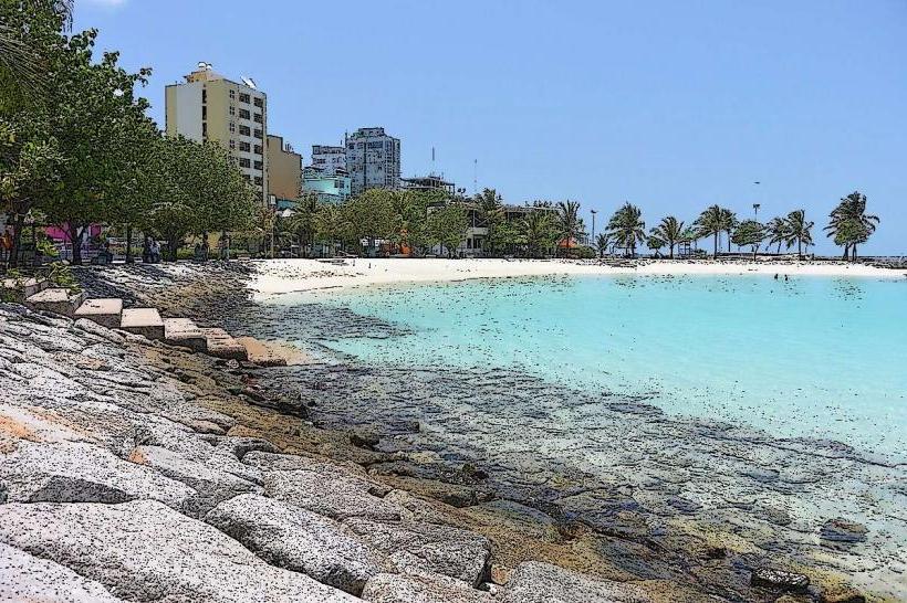
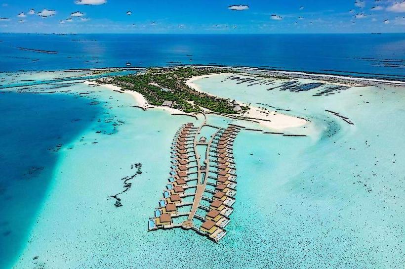
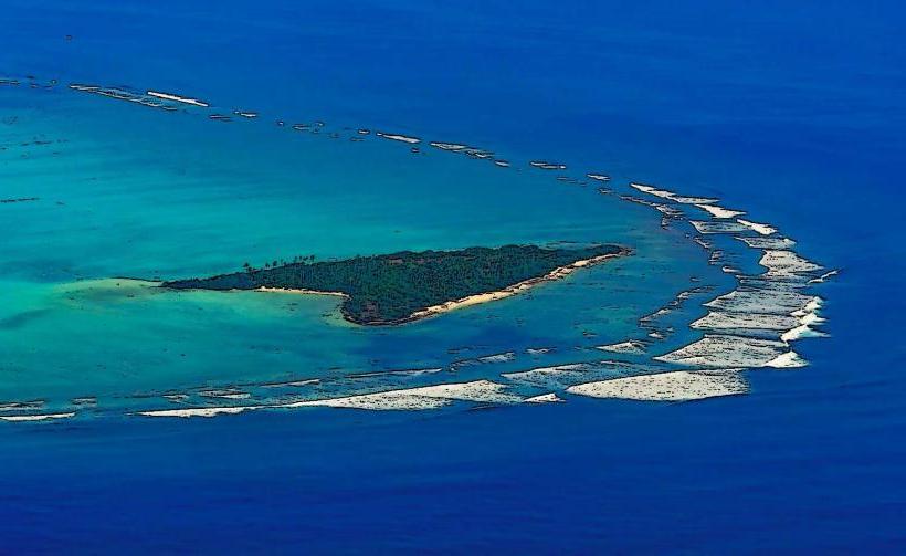
The islands are low-lying coral atolls, characterized by white sandy beaches and shallow turquoise lagoons. Vegetation is primarily coconut palms and scrub. The coral reefs surrounding the islands are a prominent visual feature.
Location & Access Logistics
Access to the Laccadive Islands is primarily via Agatti Airport (AGX) on Agatti Island, which receives flights from Kochi (COK) in Kerala, India. Inter-island transport is facilitated by ferries and speedboats. Access to specific islands may require permits issued by the Lakshadweep administration. The distance from Male, Maldives, is approximately 400 km northwest.
Historical & Ecological Origin
The islands are of coral origin, formed on submerged volcanic ridges. They are classified as coral atolls. Historically, they were inhabited by seafaring communities and served as trading posts. The earliest recorded settlement dates back to the 6th century CE.
Key Highlights & Activities
Activities include scuba diving and snorkeling in the coral reefs, which are known for diverse marine life. Kayaking and paddleboarding are available in the lagoons. Birdwatching is possible on some of the uninhabited islets. Fishing expeditions can be arranged.
Infrastructure & Amenities
Basic infrastructure exists on inhabited islands, including guesthouses and limited food stalls. Restrooms are available at tourist facilities. Shade is provided by coconut palms and constructed shelters. Cell phone signal (4G) is generally available on the main islands, but can be intermittent.
Best Time to Visit
The dry season, from October to May, offers the best weather conditions with clear skies and calm seas. The best time of day for underwater photography is between 10:00 and 15:00, when sunlight penetration is optimal. High tide is generally preferred for lagoon activities.
Facts & Legends
A local legend states that the islands were formed from the tears of a goddess. A verified historical fact is that the islands were under Portuguese control for a brief period in the early 16th century before being taken over by local rulers.
Nearby Landmarks
- Agatti Island Airport (0.1km West)
- Bangaram Atoll (5km North)
- Kavaratti Island (30km South)
- Kadmat Island (40km North)