Landmark: Lae Lagoon
City: Lae Atoll
Country: Marshall Islands
Continent: Australia
Lae Lagoon, Lae Atoll, Marshall Islands, Australia
Lae Lagoon is a coral atoll located in the Marshall Islands, situated within the Ralik Chain.
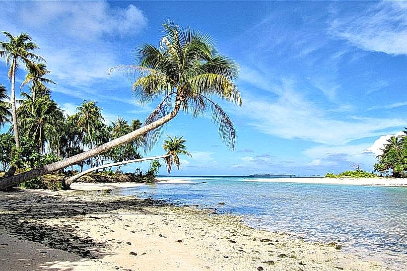
It is characterized by its shallow, clear waters and a ring of coral islands surrounding a central lagoon.
Visual Characteristics
The lagoon itself is approximately 15 kilometers (9.3 miles) in diameter. The water color ranges from pale turquoise in the shallows to deep blue in the central areas. The surrounding islands are low-lying, composed of coral sand and rubble, with sparse vegetation consisting primarily of coconut palms and low shrubs. The reef crest is visible as a white line where waves break.
Location & Access Logistics
Lae Atoll is located approximately 120 kilometers (75 miles) west of Kwajalein Atoll. Access is primarily by boat or small aircraft. There is no regular public transport. Private boat charters are available from larger atolls, requiring several hours of travel. The nearest airstrip is on the adjacent island of Lae, which receives infrequent charter flights.
Historical & Ecological Origin
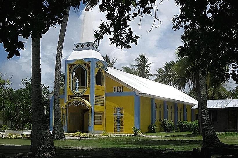
Lae Atoll is a classic example of a coral atoll, formed by the gradual subsidence of a volcanic island and the subsequent growth of coral reefs around its perimeter. It is classified as a reef formation. Historically, the atoll was inhabited by the Marshallese people, with evidence of traditional navigation and fishing practices.
Key Highlights & Activities
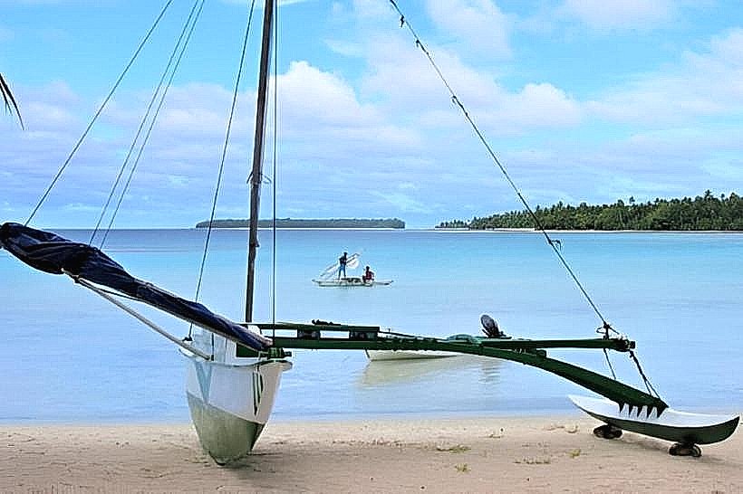
Activities include snorkeling and diving within the lagoon, particularly around the reef edges. Fishing is a common practice for local inhabitants. Exploring the small coral islands is possible, though facilities are absent. Observing marine life, including various fish species and coral formations, is a primary draw.
Infrastructure & Amenities
There are no public restrooms, shade structures, or food vendors on Lae Atoll. Cell phone signal is generally unreliable and limited to specific locations with satellite connectivity. Basic housing exists for the local population, but tourist infrastructure is non-existent.
Best Time to Visit
The best time for clear water visibility for snorkeling and diving is during the dry season, from December to April. The water temperature remains consistent year-round. High tide is generally preferable for accessing outer reef areas.
Facts & Legends
Local legends speak of ancient navigators who used the stars and ocean currents to reach Lae Atoll. A specific historical oddity is the presence of a small, abandoned World War II era Japanese radio outpost on one of the eastern islets, now largely reclaimed by vegetation.
Nearby Landmarks
- Kwajalein Atoll (120km East)
- Ujelang Atoll (150km West)
- Enewetak Atoll (250km Northwest)