Landmark: Lagoa da Conceição
City: Florianopolis
Country: Brazil
Continent: South America
Lagoa da Conceição, Florianopolis, Brazil, South America
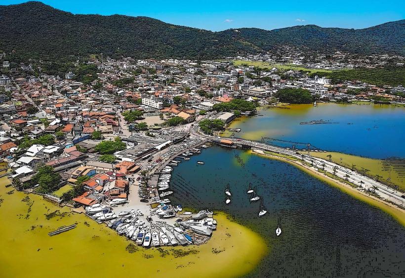
Lagoa da Conceição is a large natural lagoon situated in the central-eastern part of Santa Catarina Island, within the city of Florianópolis, Brazil.
It is the largest lagoon on the island, covering approximately 11.5 square kilometers.
Visual Characteristics
The lagoon's water color varies from deep blue to greenish-blue depending on depth and light conditions. Its shores are characterized by sandy beaches and areas of dense Atlantic Forest vegetation. The lagoon is bordered by rolling hills, some of which are covered in sand dunes.
Location & Access Logistics
Lagoa da Conceição is located approximately 18 kilometers east of Florianópolis's city center. Access is primarily via SC-401 highway, turning onto SC-405 and then following signs for Lagoa da Conceição. Several local bus lines, including 300 (Terminal Centro/Lagoa) and 360 (Barra da Lagoa/Lagoa), serve the area. Parking is available in designated lots and along surrounding streets, though it can be limited during peak seasons.
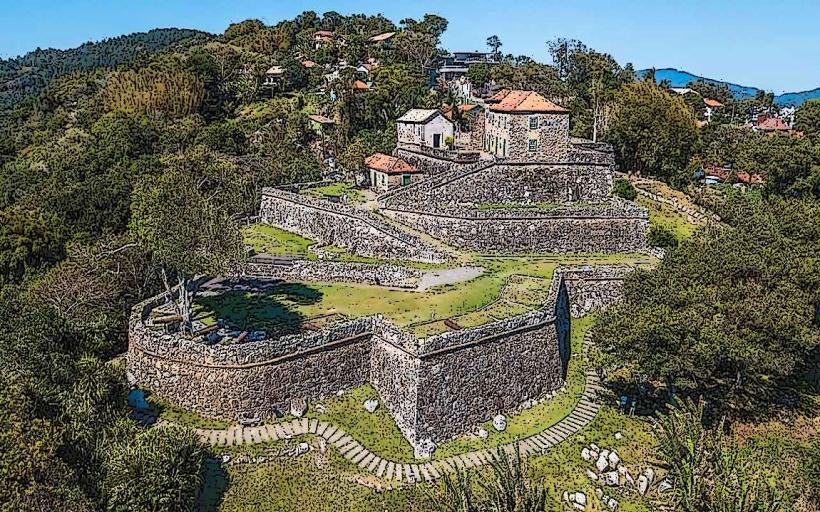
Historical & Ecological Origin
The lagoon was formed by the accumulation of freshwater behind a sand barrier, a process typical of coastal lagoons. Its ecological significance lies in its role as a habitat for various fish species and migratory birds. The surrounding Atlantic Forest is a biodiversity hotspot.
Key Highlights & Activities
Activities include windsurfing and kitesurfing, particularly in the northern and western sections of the lagoon. Kayaking and stand-up paddleboarding are also popular. Boat tours offer exploration of the lagoon's perimeter. Hiking trails are present on the surrounding hills, providing elevated views.
Infrastructure & Amenities
Restrooms are available at various points along the lagoon's edge, particularly in the main village area. Shade is provided by natural vegetation and some constructed shelters. Cell phone signal (4G/5G) is generally good in the populated areas. Food vendors and restaurants are concentrated in the village of Lagoa da Conceição.
Best Time to Visit
The best months for visiting are from September to March, offering warmer temperatures and less rainfall. For photography, early morning and late afternoon provide optimal lighting conditions. Wind conditions are often favorable for water sports in the afternoon.
Facts & Legends
A local legend speaks of a mermaid who inhabits the lagoon, said to protect its waters. Geologically, the lagoon's connection to the Atlantic Ocean is through a narrow channel that can be affected by sand accumulation, sometimes requiring dredging to maintain water flow.
Nearby Landmarks
- Praia Mole (0.8km South)
- Praia da Joaquina (2.5km Southwest)
- Dunas da Joaquina (2.8km Southwest)
- Projeto Tamar (3.2km East)
- Barra da Lagoa (3.5km East)