Landmark: Lake Atitlán
City: Panajachel
Country: Guatemala
Continent: North America
Lake Atitlán, Panajachel, Guatemala, North America
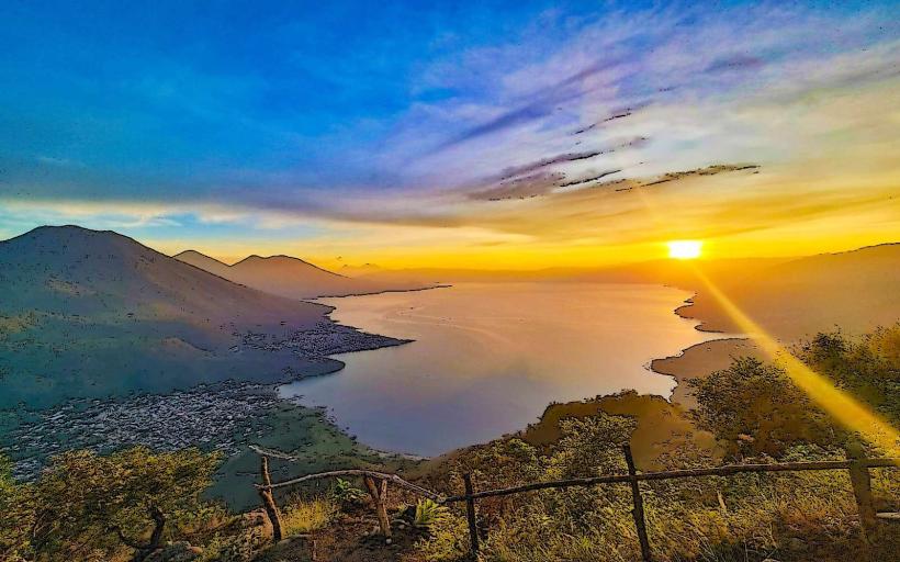
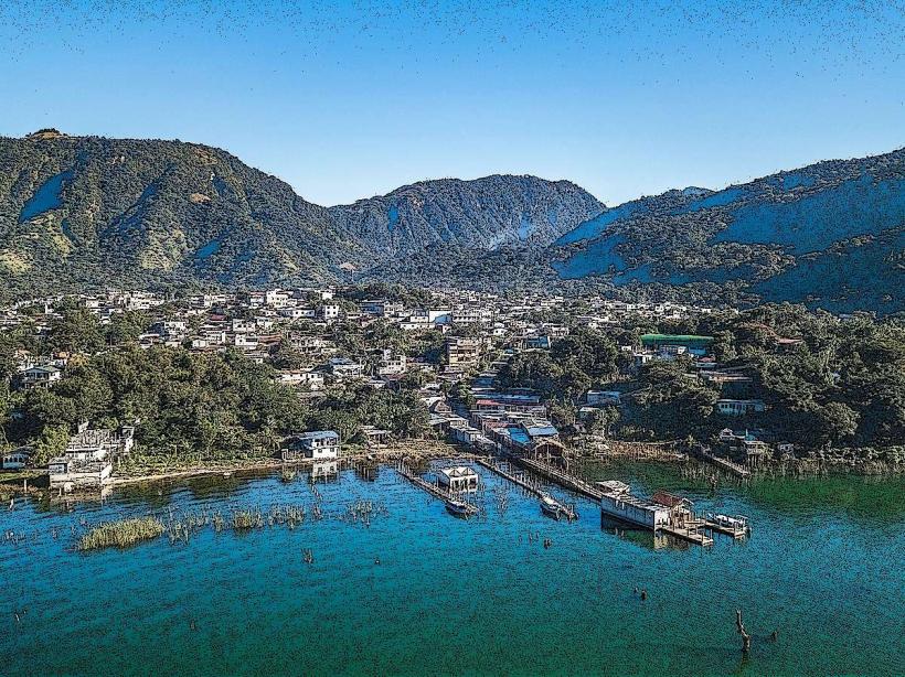
Lake Atitlán is a large, high-altitude lake situated in the Guatemalan Highlands. It is located in the Sololá Department of Guatemala.
Visual Characteristics
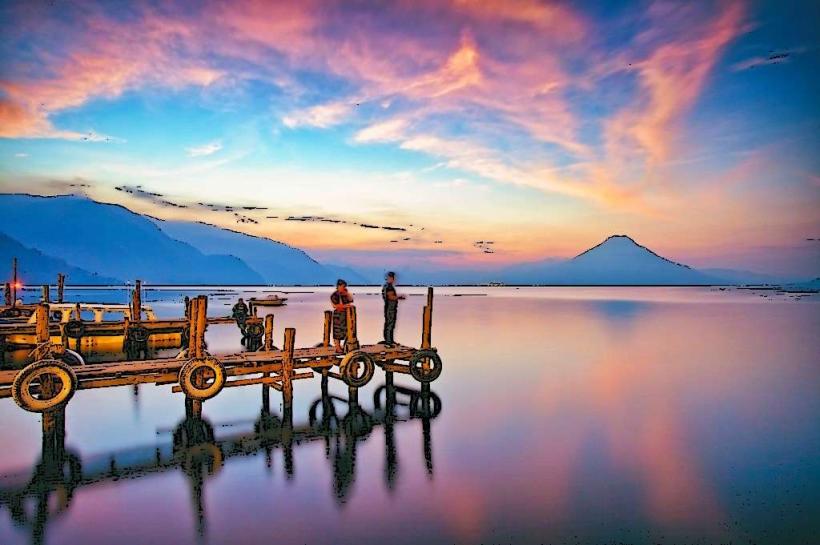
The lake is a caldera lake, approximately 18 km (11 miles) long and 8 km (5 miles) wide. Its surface elevation is 1,562 meters (5,125 feet) above sea level. The water color varies from deep blue to turquoise depending on depth and light conditions. The lake is surrounded by three volcanoes: Volcán Atitlán, Volcán Tolimán, and Volcán San Pedro. The shoreline is characterized by volcanic rock and sediment, with areas of dense vegetation, including pine and oak forests on the surrounding slopes.
Location & Access Logistics
Lake Atitlán is accessible from Panajachel, a town located on the northeastern shore. Panajachel is approximately 145 km (90 miles) northwest of Guatemala City. The primary road access is via CA-1 West and then RN-11. From Guatemala City, the drive takes approximately 3 to 4 hours. Public transportation from Guatemala City includes shuttle buses and first-class buses that terminate in Panajachel. Within Panajachel, access to the lake is via public docks. Boat transportation (lanchas) is the primary method for reaching other lakeside villages, with frequent departures from the Panajachel dock.
Historical & Ecological Origin
Lake Atitlán was formed approximately 84,000 years ago by a massive volcanic eruption, a supervolcanic event that created the Atitlán Caldera. The lake is a significant geological feature within the Guatemalan Highlands volcanic arc. Ecologically, it is a freshwater lake supporting diverse aquatic life and serving as a critical water source for surrounding communities.
Key Highlights & Activities
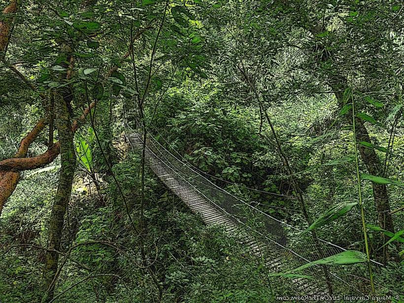
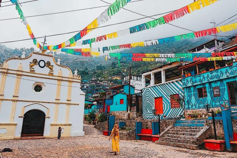
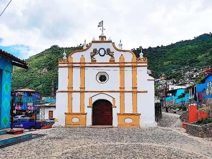
Activities include boat tours to various lakeside villages such as San Juan La Laguna, San Pedro La Laguna, and Santiago Atitlán. Hiking trails are available on the slopes of Volcán San Pedro for panoramic views. Kayaking and paddleboarding are possible on the lake's surface. Birdwatching is a popular activity, with numerous species inhabiting the surrounding forests and lake. Cultural immersion in local Mayan villages offers opportunities to observe traditional weaving and crafts.
Infrastructure & Amenities
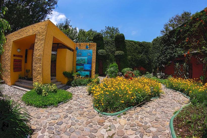
Panajachel offers a range of amenities, including hotels, restaurants, and shops. Public restrooms are available at the main dock area. Shade is provided by trees and structures in populated areas. Cell phone signal (4G/5G) is generally available in Panajachel and other larger villages, though it can be intermittent in more remote areas. Food vendors and restaurants are prevalent in Panajachel and other tourist-oriented villages.
Best Time to Visit
The dry season, from November to April, offers the most stable weather conditions with less rainfall. The best time of day for photography, particularly of the volcanoes, is typically in the morning before clouds form, or late afternoon. High tide is not a relevant factor for lake activities. The shoulder months of November and April can offer fewer crowds.
Facts & Legends
Local Mayan legends associate the lake with the creation of the world. One story tells of two ancient gods who fought, and the tears of the defeated god formed the lake. Another notable fact is the presence of the "Xocomil" wind, a strong, cool wind that blows across the lake in the afternoon, particularly during the dry season, which can affect boat travel.
Nearby Landmarks
- Volcán San Pedro (1km West)
- Volcán Tolimán (3km Southwest)
- Volcán Atitlán (4km South)
- Chichicastenango Market (15km Northeast)
- Quetzaltenango (Xela) (50km West)