Information
Landmark: Lake WacoCity: Waco
Country: USA Texas
Continent: North America
Lake Waco, Waco, USA Texas, North America
Lake Waco is a reservoir located in McLennan County, Texas, USA. It is formed by the damming of the Bosque River.
Visual Characteristics
The lake's surface area varies with water levels, typically covering approximately 7,260 acres when full. The surrounding terrain consists of rolling hills with mixed deciduous and coniferous vegetation. Shorelines are a mix of exposed rock, gravel, and sandy areas, with some sections featuring dense tree cover.
Location & Access Logistics
Lake Waco is situated approximately 10 miles west of downtown Waco, Texas. Access is primarily via State Highway 6, with multiple park entrances and boat ramps along its perimeter. Several U.S. Army Corps of Engineers managed parks provide parking facilities. Public transport does not directly serve the lake; personal vehicles are required.
Historical & Ecological Origin
The lake was created by the construction of the Waco Dam, authorized by the Flood Control Act of 1954 and completed in 1965. The dam's primary purpose is flood control, with secondary benefits including water supply and recreation. The reservoir inundates land that was historically agricultural and natural prairie.
Key Highlights & Activities
Activities include boating, fishing for species such as largemouth bass, crappie, and catfish, and swimming in designated areas. Hiking trails are available in the surrounding parks, such as the Lake Waco Hike and Bike Trail. Birdwatching is also a common activity due to the diverse avian population.
Infrastructure & Amenities
Amenities vary by park area. Restrooms are available at most developed park sites. Shaded picnic areas are present in many locations. Cell phone signal (4G/5G) is generally available around the lake's perimeter but can be intermittent in more remote sections. Food vendors are not typically located directly at the lake; visitors should plan to bring their own provisions or dine in Waco.
Best Time to Visit
For water-based activities, the months of May through September offer the warmest temperatures. Early morning and late afternoon provide optimal lighting conditions for photography. Water levels can fluctuate significantly, impacting shoreline access and boating conditions; checking current lake levels is advisable.
Facts & Legends
A notable historical oddity is the relocation of the original town of Waco Creek to make way for the dam and reservoir. The area was once home to a small community that was moved to higher ground before the valley was flooded.
Nearby Landmarks
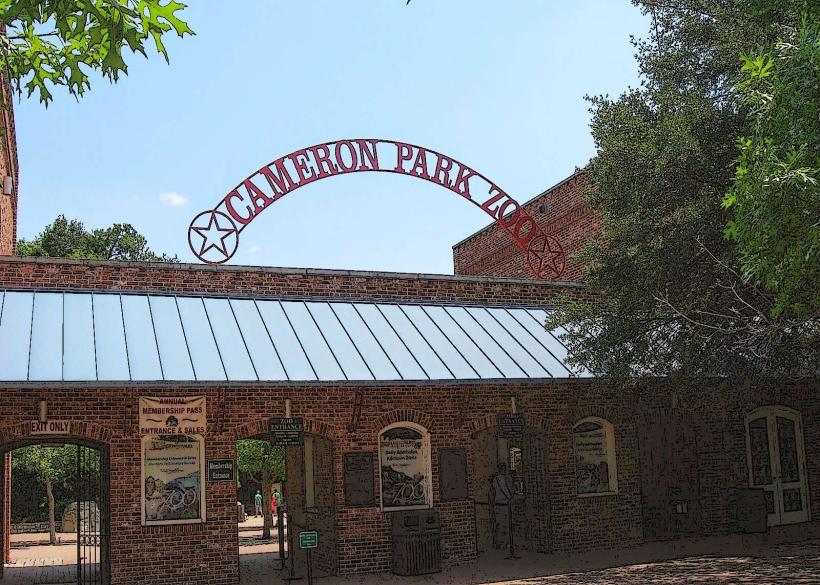
- Cameron Park (10km East)
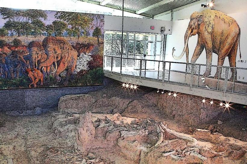
- Waco Mammoth National Monument (12km East)
- Magnolia Market at the Silos (13km East)
- Dr. Pepper Museum (14km East)
- Texas Ranger Hall of Fame and Museum (13km East)