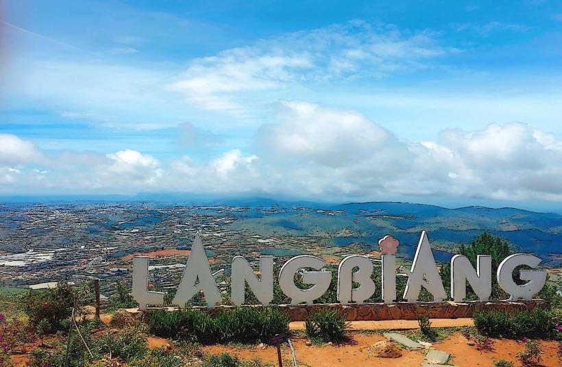
Landmark: Langbiang Mountain
City: Dalat
Country: Vietnam
Continent: Asia
Langbiang Mountain, Dalat, Vietnam, Asia
Langbiang Mountain is a prominent natural landmark located in the Lac Duong district, approximately 12 kilometers north of Dalat city, Vietnam.
Visual Characteristics
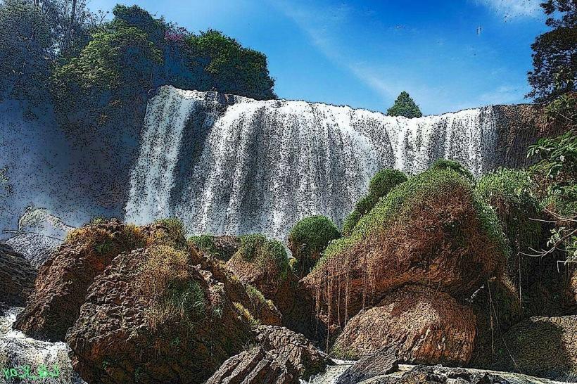
The mountain range consists of two main peaks, with the highest reaching 2,167 meters. The slopes are covered in dense evergreen forest, transitioning to pine forests at higher elevations. The terrain is characterized by steep inclines and rocky outcrops. The base of the mountain is surrounded by agricultural land, primarily used for coffee and flower cultivation.
Location & Access Logistics
Access to Langbiang Mountain is via National Highway 27C (QL27C), also known as the Da Lat - Nha Trang road. The turn-off for the mountain is clearly signposted. From the main entrance, visitors can proceed to the base of the mountain. Parking is available at the designated visitor center area. Public transport options to the vicinity of the mountain are limited; private vehicles or taxis are the most common modes of transport from Dalat city. From the base, a shuttle bus service operates to the summit of the higher peak, or visitors can opt for a jeep tour.
Historical & Ecological Origin
Langbiang Mountain is part of the Annamite Range, formed by geological processes over millions of years. It is classified as a highland massif. The name "Langbiang" originates from a local legend concerning a young couple, K'Lang and H'Biang, from the K'Ho ethnic group. The mountain is a significant component of the Bidoup Nui Ba National Park, an area rich in biodiversity.
Key Highlights & Activities
Activities include hiking to the summit of the higher peak (2,167m) or the lower peak (1,951m). Guided tours are available. Jeep tours offer transport to the higher summit. Photography opportunities are present at various viewpoints. Birdwatching is possible within the forested areas.
Infrastructure & Amenities
Restrooms are available at the visitor center and at the summit of the higher peak. Limited shade is provided by natural forest cover and some constructed shelters. Cell phone signal (4G) is generally available at the base and intermittently on the trails. Food vendors and small restaurants are located at the base area and near the summit.
Best Time to Visit
The best time for clear views and comfortable hiking is during the dry season, from December to June. Mornings, between 7:00 AM and 9:00 AM, offer favorable lighting conditions for photography. The rainy season, from July to November, can result in reduced visibility and slippery trails.
Facts & Legends
The mountain is central to the K'Ho people's origin myth, detailing the love story of K'Lang and H'Biang, which gave the mountain its name. A specific tip for visitors is to wear sturdy footwear due to the uneven terrain, especially if planning to hike beyond the jeep track.
Nearby Landmarks
- Dalat Flower Garden (3.5km South)
- Xuan Huong Lake (4.0km South)
- Dalat Railway Station (4.5km South)
- Dalat Market (4.8km South)