Information
Landmark: Mackinac BridgeCity: Marquette
Country: USA Michigan
Continent: North America
Mackinac Bridge, Marquette, USA Michigan, North America
The Mackinac Bridge is a suspension bridge spanning the Straits of Mackinac, connecting the Upper and Lower Peninsulas of Michigan. It is located between St. Ignace and Mackinaw City.
Visual Characteristics
The bridge has a total length of 8,614 feet (2,626 meters) and a main span of 3,800 feet (1,158 meters). It features two 552-foot (168-meter) towers supporting the main suspension cables. The deck is constructed of steel grating and concrete. The primary color of the bridge is a dark gray, often referred to as "International Orange" during construction, though it has weathered over time.
Location & Access Logistics
The bridge connects US Highway 2 on the north side and Interstate 75 on the south side. From Marquette, Michigan, the Mackinac Bridge is approximately a 3-hour drive southeast via US-41 South and I-75 South. Vehicle access is via toll booths located at both the north and south ends. Pedestrian and bicycle access is restricted and typically only permitted during a special annual event. Parking is available at designated areas near the toll plazas.
Historical & Ecological Origin
Construction of the Mackinac Bridge began on May 7, 1954, and it was opened to traffic on November 1, 1957. It was designed by engineer David B. Steinman. The bridge was built to replace the ferry system that had been in operation since 1881, improving transportation and commerce between the two peninsulas. The Straits of Mackinac are a significant waterway connecting Lake Michigan and Lake Huron, with depths reaching over 290 feet in the bridge's vicinity.
Key Highlights & Activities
Vehicle passage across the bridge is the primary activity. Observation areas are available at both the north and south approaches for viewing the structure. The Mackinac Bridge Museum, located near the south approach, provides information about the bridge's construction and history. Photography of the bridge from various vantage points is common.
Infrastructure & Amenities
Restrooms are available at the toll plazas on both sides of the bridge. There are no food vendors directly on the bridge itself, but services are available in St. Ignace and Mackinaw City. Cell phone signal (4G/5G) is generally available across the bridge, though it may vary in strength. There is no dedicated shade on the bridge structure.
Best Time to Visit
For photography, early morning or late afternoon light provides optimal illumination of the bridge structure. Weather conditions can significantly impact visibility; clear days offer the best views. The bridge is open year-round, but winter months can bring fog, snow, and ice, potentially affecting travel conditions. High winds can also lead to temporary closures for certain types of vehicles.
Facts & Legends
A unique aspect of the bridge's construction involved the use of caissons that were sunk to bedrock, some of which were the largest ever constructed at the time. A local legend suggests that the ghost of a ferry captain who was lost in the Straits during a storm can sometimes be seen near the bridge, though this is unsubstantiated.
Nearby Landmarks
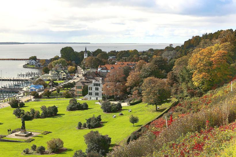
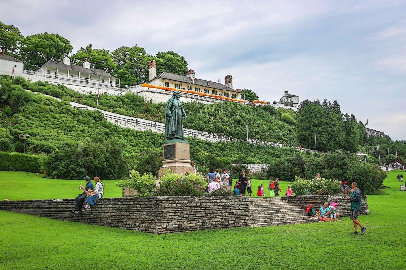
- Fort Mackinac (2.5km North-East)
- Mackinac Island State Park (3.0km East)
- Colonial Michilimackinac (4.0km South)
- Old Mackinac Point Lighthouse (4.5km South)