Landmark: Mambilla Plateau
City: Taraba
Country: Nigeria
Continent: Africa
Mambilla Plateau, Taraba, Nigeria, Africa
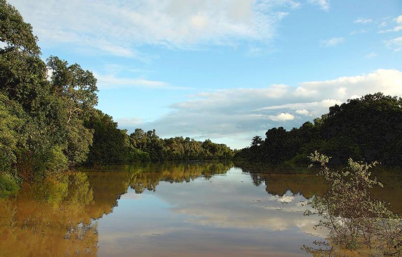
The Mambilla Plateau is a large highland area located in the Taraba State of Nigeria. It is characterized by its extensive grassland and savanna ecosystems.
Visual Characteristics
The plateau features rolling hills covered in dense grassland, interspersed with scattered trees and rock outcrops. Elevation ranges from approximately 1,500 to 1,800 meters above sea level. The landscape is predominantly green during the wet season and turns golden-brown during the dry season. Small streams and occasional waterfalls are present.
Location & Access Logistics
The Mambilla Plateau is situated in the southeastern part of Taraba State, bordering Cameroon. Access is primarily via road. The main route is the Jada-Gashaka road, which connects to the larger highway network. From Jalingo, the state capital, the plateau is approximately 150-200 km away, requiring a journey of 4-6 hours by vehicle. Road conditions can vary, particularly during the rainy season. There are no direct public transport services to the plateau; private vehicles or hired taxis are the common modes of transport. Parking is generally informal and available at villages and designated points.
Historical & Ecological Origin
The Mambilla Plateau is an ancient geological formation, part of the Adamawa Plateau. Its formation is linked to volcanic activity and subsequent erosion over millions of years. Ecologically, it represents a distinct savanna biome adapted to higher altitudes and cooler temperatures compared to the surrounding lowlands.
Key Highlights & Activities
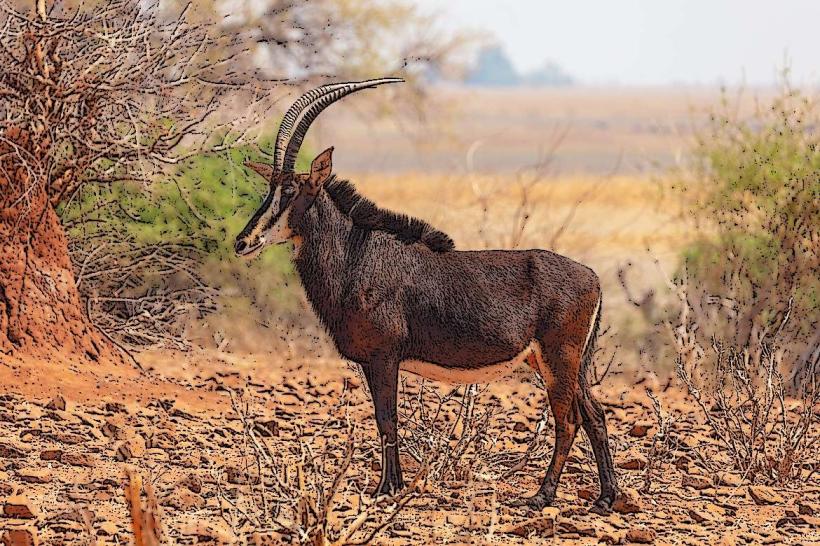
Hiking across the plateau's grasslands is a primary activity. Observing the diverse flora and fauna, including various bird species, is possible. Visiting local Mambilla communities to understand their agricultural practices and cultural traditions is also a key experience. Photography of the expansive landscapes is recommended.
Infrastructure & Amenities
Basic amenities are available in the small villages scattered across the plateau, such as Gembu. These include small guesthouses or lodges, local markets for food supplies, and limited mobile phone signal (primarily 2G/3G). Restrooms are typically found in accommodations or public areas within villages. Shade is provided by scattered trees and rock formations. Food vendors are present in village centers.
Best Time to Visit
The dry season, from November to March, offers the most favorable weather conditions with clear skies and cooler temperatures. The best time of day for photography is generally early morning or late afternoon when the sunlight is softer and casts longer shadows across the landscape. There are no tidal considerations.
Facts & Legends
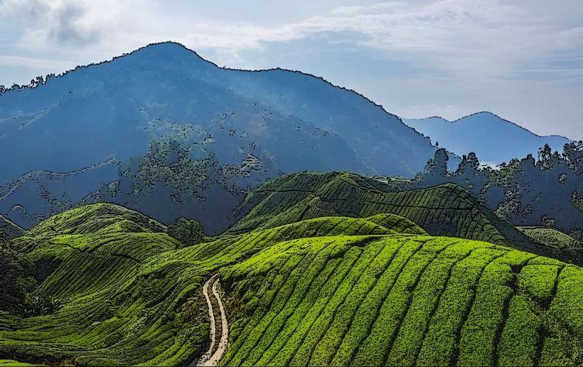
The Mambilla Plateau is known for its unique tea plantations, which are among the largest in Nigeria. A local legend speaks of ancient spirits residing in the rock formations, believed to protect the plateau.
Nearby Landmarks
- Gashaka Gumti National Park (15km Southwest)
- Yelwa (25km North)
- Gembu Town (5km West)
- Ngurore (30km East)