Landmark: Middlesex Greenway
City: Edison
Country: USA New Jersey
Continent: North America
Middlesex Greenway, Edison, USA New Jersey, North America
The Middlesex Greenway is a multi-use trail located in Edison, New Jersey, USA. It follows a former railroad corridor, providing a paved path for recreation.
Visual Characteristics
The trail is primarily paved asphalt, approximately 3 meters wide. It is bordered by mature deciduous trees, with undergrowth varying in density depending on the season. The terrain is largely flat with gentle undulations. Occasional sections reveal remnants of the former railroad bed, including ballast stone.
Location & Access Logistics
The Middlesex Greenway spans approximately 4.5 miles. Access points are located at various points along its length. Major access points include the parking area at Oak Tree Road (near the intersection with Plainfield Avenue), the parking lot at Woodbridge Center Drive, and access from Middlesex County Park. Public transport options are limited directly to the trail; the closest NJ Transit train station is Edison Station, approximately 2 miles from the central section of the greenway. Bus routes serving Oak Tree Road and Woodbridge Center Drive are available.
Historical & Ecological Origin
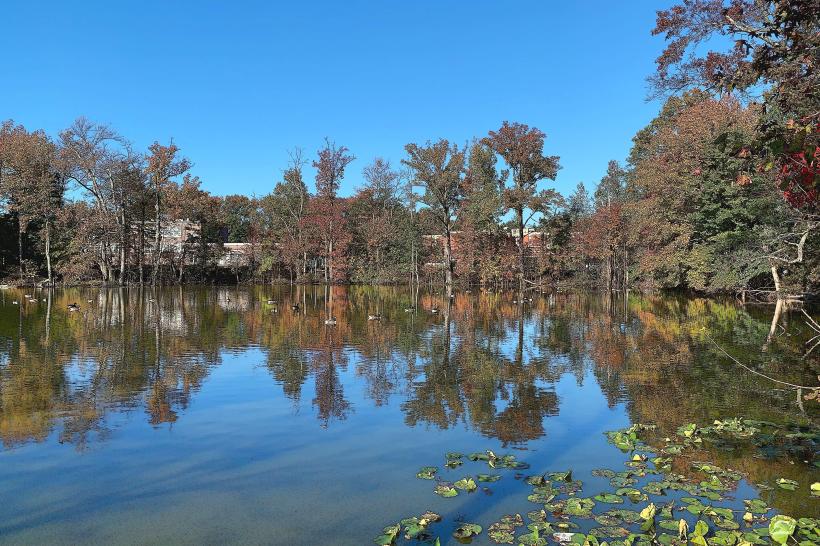
The Middlesex Greenway occupies the former right-of-way of the Lehigh Valley Railroad. This corridor was operational for freight and passenger service until the late 20th century. The conversion to a recreational trail began in the early 2000s, preserving the linear corridor for public use. Ecologically, it represents a riparian buffer zone along the Rahway River in some sections and a mixed deciduous forest habitat in others.
Key Highlights & Activities
Activities include walking, jogging, cycling, and inline skating. The trail is suitable for all skill levels due to its flat grade. Birdwatching is possible due to the surrounding vegetation. Designated rest stops with benches are present at intervals.
Infrastructure & Amenities
Restrooms are available at the Oak Tree Road access point and within adjacent Middlesex County Park. Shade is provided by the tree canopy along most of the route. Cell phone signal (4G/5G) is generally consistent along the trail. No food vendors are directly located on the trail; however, commercial areas are accessible near the Oak Tree Road and Woodbridge Center Drive access points.
Best Time to Visit
For photography, early morning or late afternoon provides optimal lighting conditions due to the tree cover. The months of April through October offer the most pleasant weather for outdoor activities. No tide considerations apply.
Facts & Legends
A specific point of interest for local historians is the presence of original railroad mile markers, some of which are still visible along the path. These markers indicate the precise distance from the former railroad's origin point.
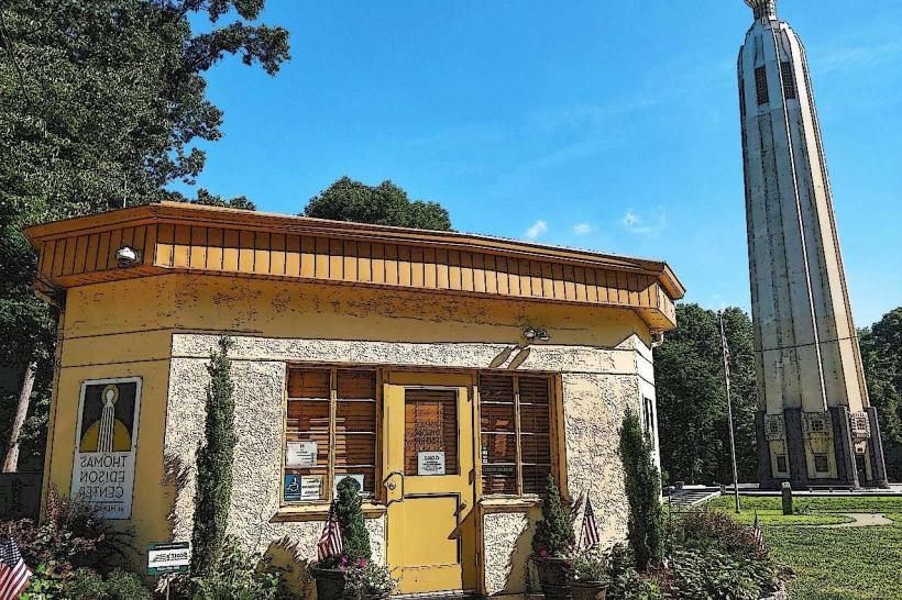
Nearby Landmarks
- Middlesex County Park (0.1km West)
- Edison State Park (2.5km South)
- Woodbridge Center Mall (1.0km North)
- Roosevelt Park (3.0km East)