Landmark: Minnesota Valley National Wildlife Refuge
City: Bloomington
Country: USA Minnesota
Continent: North America
Minnesota Valley National Wildlife Refuge, Bloomington, USA Minnesota, North America
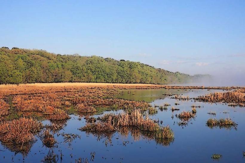
The Minnesota Valley National Wildlife Refuge is a protected area situated along the Minnesota River in Bloomington, Minnesota, USA.
Visual Characteristics
The refuge encompasses a mosaic of habitats including riparian forests, wetlands, prairies, and the Minnesota River itself. River water color varies with sediment load, typically appearing brown or grey. Wetland areas feature dense emergent vegetation such as cattails and sedges. Forested sections are dominated by deciduous trees like cottonwoods and maples. Open prairie areas display a mix of grasses and wildflowers depending on the season.
Location & Access Logistics
The refuge is accessible from Bloomington, Minnesota. The main entrance is located off of American Boulevard. The refuge is approximately 10 miles southwest of downtown Minneapolis. Parking is available at the visitor center and various trailheads. Public transport options include Metro Transit bus routes that stop near the refuge entrances; specific route numbers should be verified with Metro Transit for current service.
Historical & Ecological Origin
The Minnesota Valley National Wildlife Refuge was established in 1976 to preserve and restore the natural resources of the Minnesota River Valley. It is part of the National Wildlife Refuge System, managed by the U.S. Fish and Wildlife Service. Ecologically, it represents a remnant of the original tallgrass prairie and riverine ecosystem that once characterized the region.
Key Highlights & Activities
Activities include wildlife observation, birdwatching, and hiking on designated trails. Specific trails include the River Trail and the Prairie Trail. Fishing is permitted in designated areas of the Minnesota River. Educational programs are offered at the visitor center.
Infrastructure & Amenities
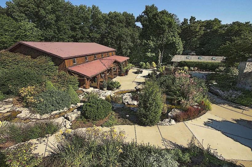
The refuge features a visitor center with restrooms and interpretive displays. Picnic areas are available. Shade is provided by trees in forested sections and at designated picnic spots. Cell phone signal strength varies throughout the refuge; 4G/5G service is generally available near the visitor center and main access points but can be intermittent in more remote areas. No food vendors are located within the refuge; visitors should bring their own provisions.
Best Time to Visit
For birdwatching, spring (April-May) and fall (September-October) offer peak migratory activity. Summer (June-August) provides opportunities for observing resident wildlife and enjoying the full bloom of prairie vegetation. Early morning and late afternoon offer optimal lighting for photography and increased wildlife visibility. No specific tide requirements apply as the refuge is freshwater.
Facts & Legends
The refuge protects a significant portion of the remaining floodplain forest in the Twin Cities metropolitan area. A unique aspect is the presence of the Long Meadow Lake, a remnant of a former oxbow lake, which is a critical habitat for waterfowl and other aquatic species.
Nearby Landmarks
- Mall of America: 2.5km Northeast
- Minneapolis-Saint Paul International Airport (MSP): 4.0km East
- Fort Snelling State Park: 5.0km East
- Edina Art Center: 4.5km Northwest