Landmark: Mount Pisgah Arboretum
City: Eugene
Country: USA Oregon
Continent: North America
Mount Pisgah Arboretum, Eugene, USA Oregon, North America
Mount Pisgah Arboretum is a 209-acre botanical garden and nature preserve located south of Eugene, Oregon.
It features a diverse collection of native and non-native plants, walking trails, and educational exhibits.
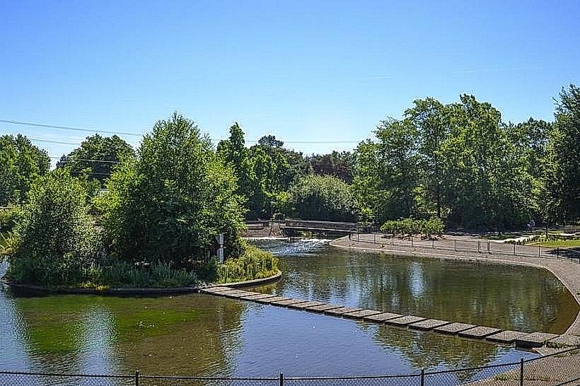
Visual Characteristics
The arboretum's landscape is characterized by rolling hills covered in mixed conifer and deciduous forests. Dominant tree species include Douglas fir (Pseudotsuga menziesii), Oregon white oak (Quercus garryana), and various species of maple and alder. The understory consists of native shrubs such as Oregon grape (Mahonia aquifolium) and salal (Gaultheria shallon). Several open meadows provide contrasting visual elements. The McKenzie River is visible in the distance from higher elevations.
Location & Access Logistics
Mount Pisgah Arboretum is situated approximately 10 miles southeast of downtown Eugene, Oregon. Access is via Highway 126 East (McKenzie Highway) to the Buford Park entrance. The drive from downtown Eugene typically takes 20-25 minutes. Ample parking is available at the Buford Park main lot, which serves as the primary access point for the arboretum. Public transport options are limited; the Lane Transit District bus route 12 stops at the intersection of Highway 126 and Jasper Road, requiring an additional 1.5-mile walk to the park entrance.
Historical & Ecological Origin
The land that now comprises Mount Pisgah Arboretum was historically part of Buford Park, a large county park established in the early 20th century. The arboretum itself was founded in 1973 by the Eugene Natural History Society with the goal of preserving and displaying the region's flora. Ecologically, the area is situated within the Willamette Valley ecoregion, characterized by a Mediterranean climate with wet winters and dry summers, supporting a mosaic of oak savanna, riparian woodlands, and coniferous forests.
Key Highlights & Activities
Visitors can walk or run the 6.5 miles of maintained trails, which include the Ridgeline Trail offering panoramic views. Specific trails include the Arboretum Loop (1.5 miles), the Oak Meadow Trail (1 mile), and the River Trail (2 miles). Birdwatching is a common activity, with over 150 species recorded. Educational programs and guided walks are offered seasonally. The arboretum hosts an annual Rhododendron Show in April.
Infrastructure & Amenities
Restrooms are available at the Buford Park main parking lot. Shaded areas are present throughout the forested sections of the trails. Cell phone signal (4G/5G) is generally available but can be intermittent in deeper wooded areas. No food vendors are located within the arboretum; visitors should plan to bring their own provisions. Picnic tables are situated near the main parking area.
Best Time to Visit
For optimal lighting for photography, early morning or late afternoon provides softer light. The best months for visiting are April through October, when most plant species are in bloom or leaf. Spring (April-May) offers wildflower displays, while autumn (September-October) features fall foliage. High tide is not a relevant factor for this inland location.
Facts & Legends
A notable historical oddity is the presence of a former CCC (Civilian Conservation Corps) camp site within Buford Park, remnants of which can still be observed. Local folklore sometimes refers to the area as having a "peaceful energy," though this is anecdotal.
Nearby Landmarks
- Buford Park (0km South)
- Willamette River (2km West)
- Spencer Butte (4km Northwest)
- Cascades Raptor Center (6km Northwest)
- University of Oregon (9km Northwest)