Information
Landmark: Nahanton ParkCity: Newton
Country: USA Massachusetts
Continent: North America
Nahanton Park, Newton, USA Massachusetts, North America
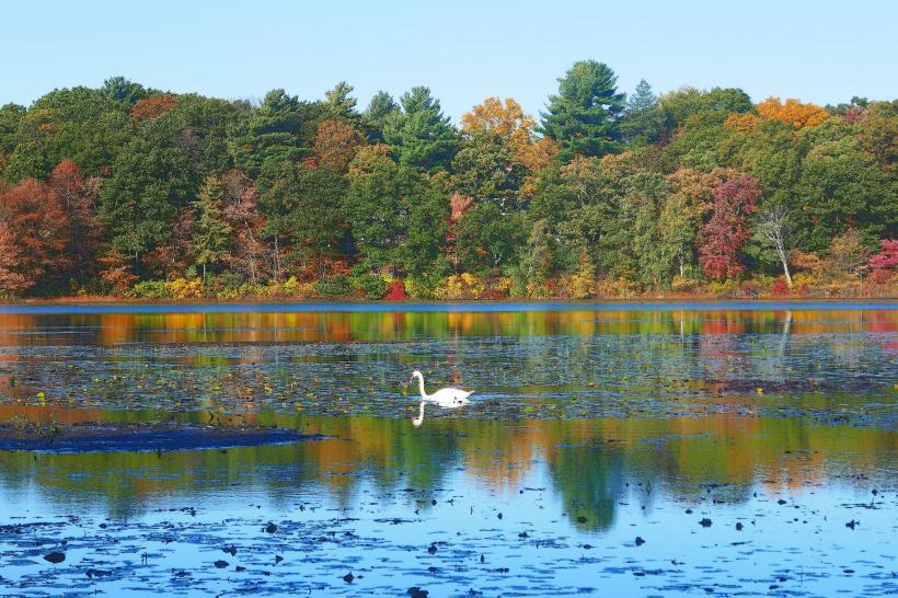
Nahanton Park is a 52-acre municipal park located in Newton, Massachusetts, along the Charles River.
Visual Characteristics
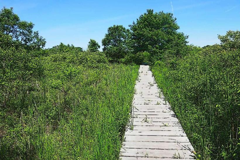
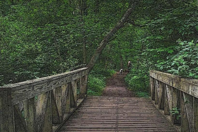
The park features a mix of deciduous forest and open meadow. The Charles River forms the park's western boundary, with a width of approximately 50 meters at this point. The terrain is generally flat, with some gentle slopes leading down to the riverbank. Vegetation includes mature oak, maple, and pine trees, with undergrowth of ferns and shrubs. The riverbanks are lined with reeds and grasses.
Location & Access Logistics
Nahanton Park is situated at 300 Nahanton Street, Newton, MA 02459. It is approximately 10 kilometers west of downtown Boston. Access is via Nahanton Street, which connects to Route 9. Parking is available in a designated lot at the park's entrance, with capacity for approximately 30 vehicles. Public transport options include the MBTA bus route 59, which stops at the intersection of Nahanton Street and River Street, a 0.5km walk to the park entrance.
Historical & Ecological Origin
The land that now comprises Nahanton Park was historically part of a larger agricultural estate. It was acquired by the City of Newton in stages, with significant portions donated for public use in the mid-20th century. Ecologically, the park is part of the Charles River watershed, a system shaped by glacial activity and subsequent fluvial erosion. The river itself is a habitat for various fish species and migratory birds.
Key Highlights & Activities
Activities include walking and jogging on paved and unpaved trails. Kayaking and canoeing are possible on the Charles River, with a public boat launch located within the park. Birdwatching is a common activity due to the diverse avian population. Picnicking is permitted in designated areas.
Infrastructure & Amenities
The park contains restroom facilities located near the main parking area. Several picnic tables and benches are distributed throughout the park, offering shaded seating. Cell phone signal (4G/5G) is generally available within the park. There are no on-site food vendors; however, convenience stores and restaurants are located within a 2km radius on nearby commercial streets.
Best Time to Visit
For photography, early morning or late afternoon provides optimal lighting conditions due to the angle of the sun. The best months for visiting are from April to October, offering mild temperatures and full foliage. River conditions for boating are generally suitable from late spring through early fall, avoiding periods of heavy ice or strong currents.
Facts & Legends
A notable historical feature is the remnants of an old stone foundation, believed to be from a former estate building, located near the riverbank. Local lore suggests this area was once a favored fishing spot for indigenous tribes prior to European settlement.
Nearby Landmarks
- Albemarle Field (0.8km Northeast)
- Cold Spring Park (1.5km East)
- Newton Centre (2.2km Southeast)
- Lakeside Park (3.1km North)
- Charles River Museum of Industry & Innovation (4.5km Northeast)