Information
Landmark: National Road Heritage TrailCity: Terre Haute
Country: USA Indiana
Continent: North America
National Road Heritage Trail, Terre Haute, USA Indiana, North America
The National Road Heritage Trail is a linear park located in Terre Haute, Indiana, following a segment of the historic National Road.
This trail preserves a portion of the first federally funded highway in the United States, offering a historical and recreational pathway.
Visual Characteristics
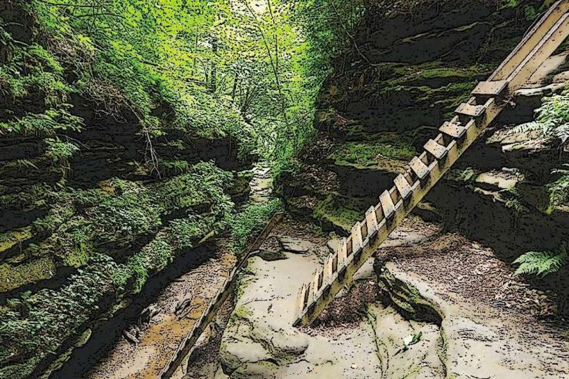
The trail is primarily a paved asphalt surface, approximately 10 feet wide, with a gravel shoulder in sections. It is bordered by mature deciduous trees, providing canopy cover. Interpretive signage, constructed from metal and wood, is positioned at regular intervals. The terrain is largely flat with gentle undulations.
Location & Access Logistics
The trail begins at the intersection of US Route 40 (National Road) and 1st Street in Terre Haute. It extends eastward for approximately 3 miles. Parking is available at designated trailheads, including a lot at the western terminus near 1st Street and a smaller lot at the eastern end near the Vigo County Fairgrounds. Public transport access is limited; the closest bus stops for Terre Haute City Bus routes are along US Route 40, requiring a short walk to the trail.
Historical & Ecological Origin
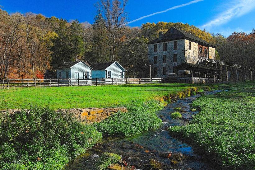
The trail follows the alignment of the National Road, authorized by Congress in 1806 and constructed through the early 19th century. Its original purpose was to facilitate westward expansion and commerce. Ecologically, the area consists of a riparian zone along the Wabash River and adjacent upland forest, supporting a variety of local flora and fauna.
Key Highlights & Activities
Walking, jogging, and cycling are the primary activities. Visitors can engage with historical interpretive panels detailing the road's construction and significance. Birdwatching is possible due to the surrounding vegetation. The trail connects to other local parks and pathways at its eastern terminus.
Infrastructure & Amenities
Restrooms are available at the western trailhead. Benches are located along the trail at approximately 0.5-mile intervals. Shade is provided by the tree canopy. Cell phone signal (4G/5G) is generally consistent along the trail. No food vendors are directly on the trail; options are available in commercial areas along US Route 40.
Best Time to Visit
For photography, early morning or late afternoon light offers optimal illumination of the trail and surrounding landscape. The months of April through October provide the most favorable weather conditions for outdoor activities. No tide considerations apply.
Facts & Legends
A specific historical oddity is the presence of original stone mile markers, though many are now weathered or have been relocated. A local tip is to look for remnants of the original corduroy road construction in less-maintained sections adjacent to the paved trail, particularly after heavy rains expose the underlying structure.
Nearby Landmarks
- Vigo County Historical Museum (0.8km East)
- Fountain Square Theatre (1.2km West)
- Wabash River (0.3km South)
- Clabber Girl Museum (1.5km West)
- Deming Park (2.5km Southeast)